An *EXTREMELY HIGH* surface pressure develops over Europe through Sunday and Monday – 1048-1050 mbar will be possible in some areas!
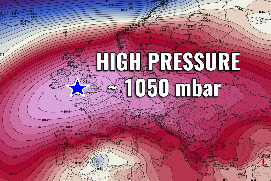
Like we didn’t have ridging pattern for several weeks now, there is an exceptional event coming in the next days. A very strong upper-level ridging … Read more

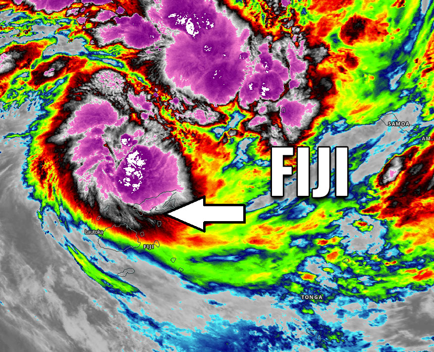
UPDATE: Tropical Cyclone #Tino upgraded to a Category 2 – explosive storms are brushing the Vanua Levu island and eastern Fiji archipelago with severe winds and dangerous flooding threat

Tropical Cyclone #Tino has strengthened into a Category 2 system today, packing maximum sustained winds of 65 knots and central pressure around 970 mbar. Its … Read more

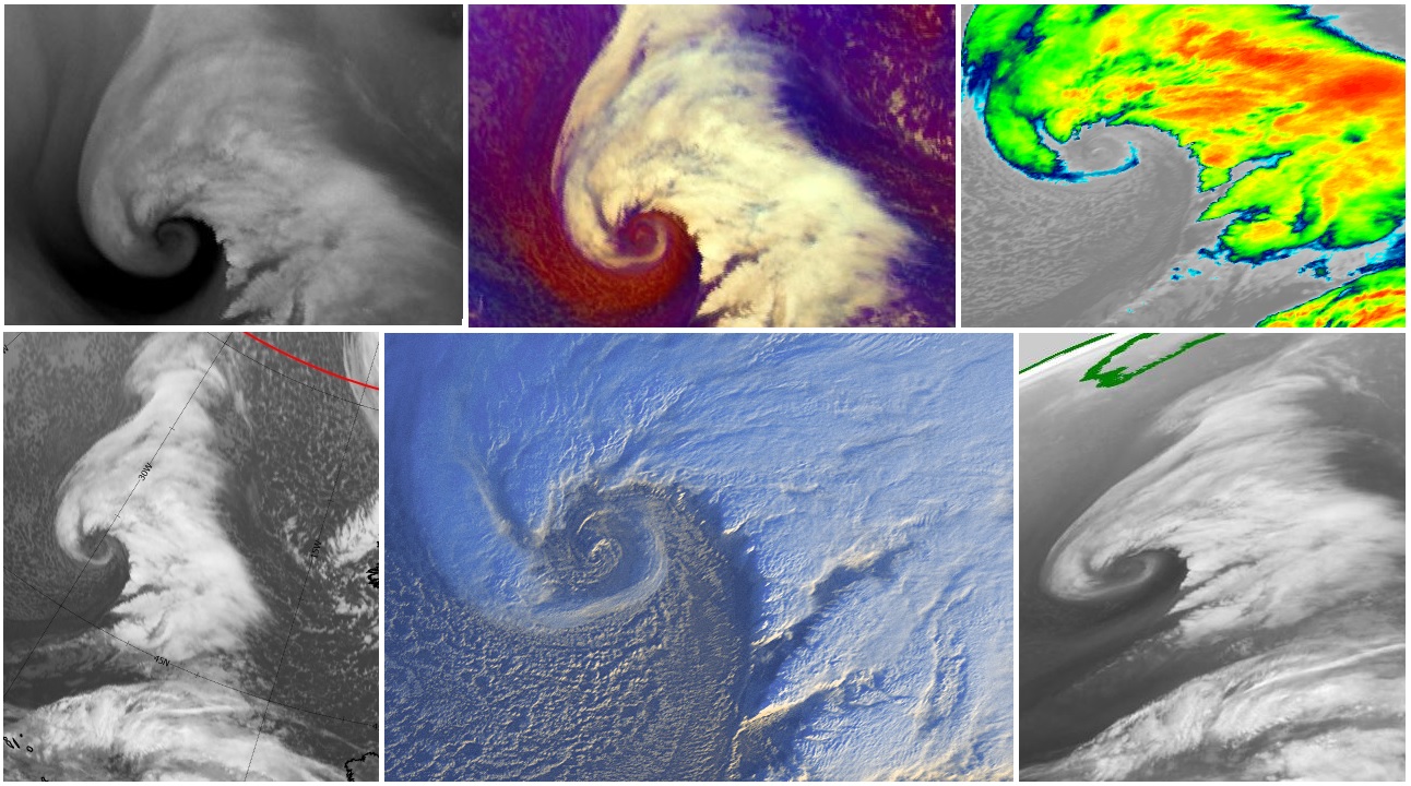
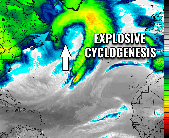
Another explosive cyclogenesis will take place over the Northwest Atlantic today, will push severe windstorm and major waves towards Greenland and Iceland over the weekend

A positive NAO pattern continues – meaning above normal activity of the Atlantic storms. An upper wave is currently ejecting southeast Canada and expected to … Read more

A Tropical Cyclone #TINO is born – a direct hit to Vanua Levu island as a Category 1 is expected tomorrow – could hit Tonga as a strong Category 2 this weekend!

An Invest #93P has been showing some impressive convective activity since yesterday, spread across a large area to the north of the Fiji archipelago in … Read more

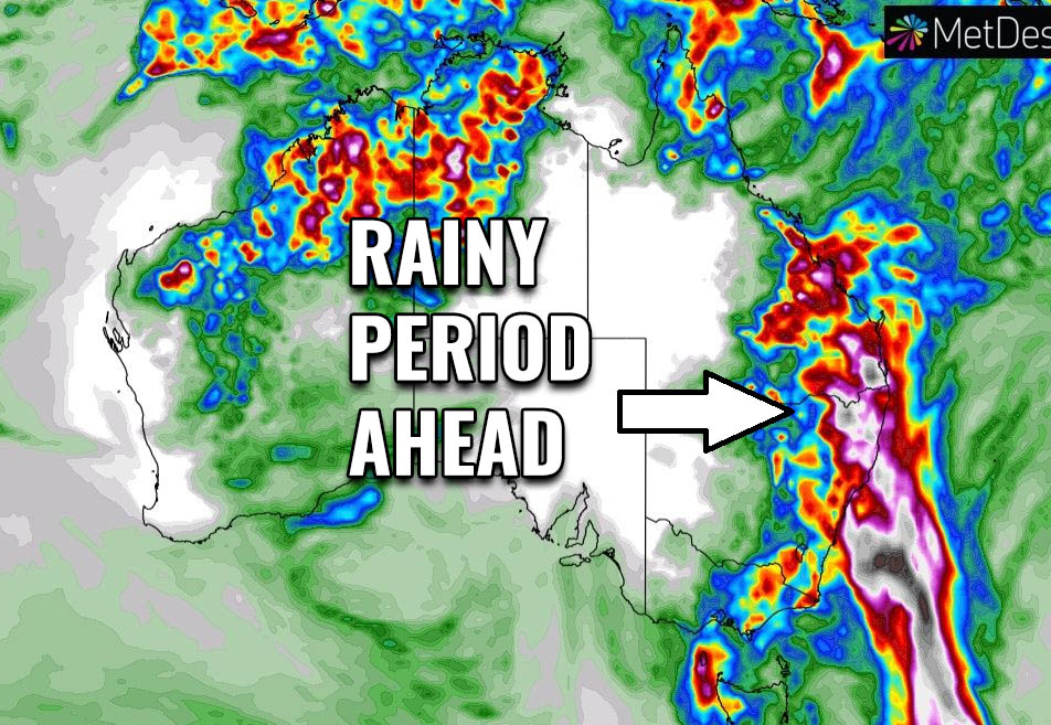
Good news for the eastern Australia wildfire disaster – finally, quite a good amount of rain is expected in the next 5-7 days!

Days with precipitation are finally in increase across the eastern and partly southeastern parts of Australia, precisely across large parts of Queensland, New South Wales … Read more