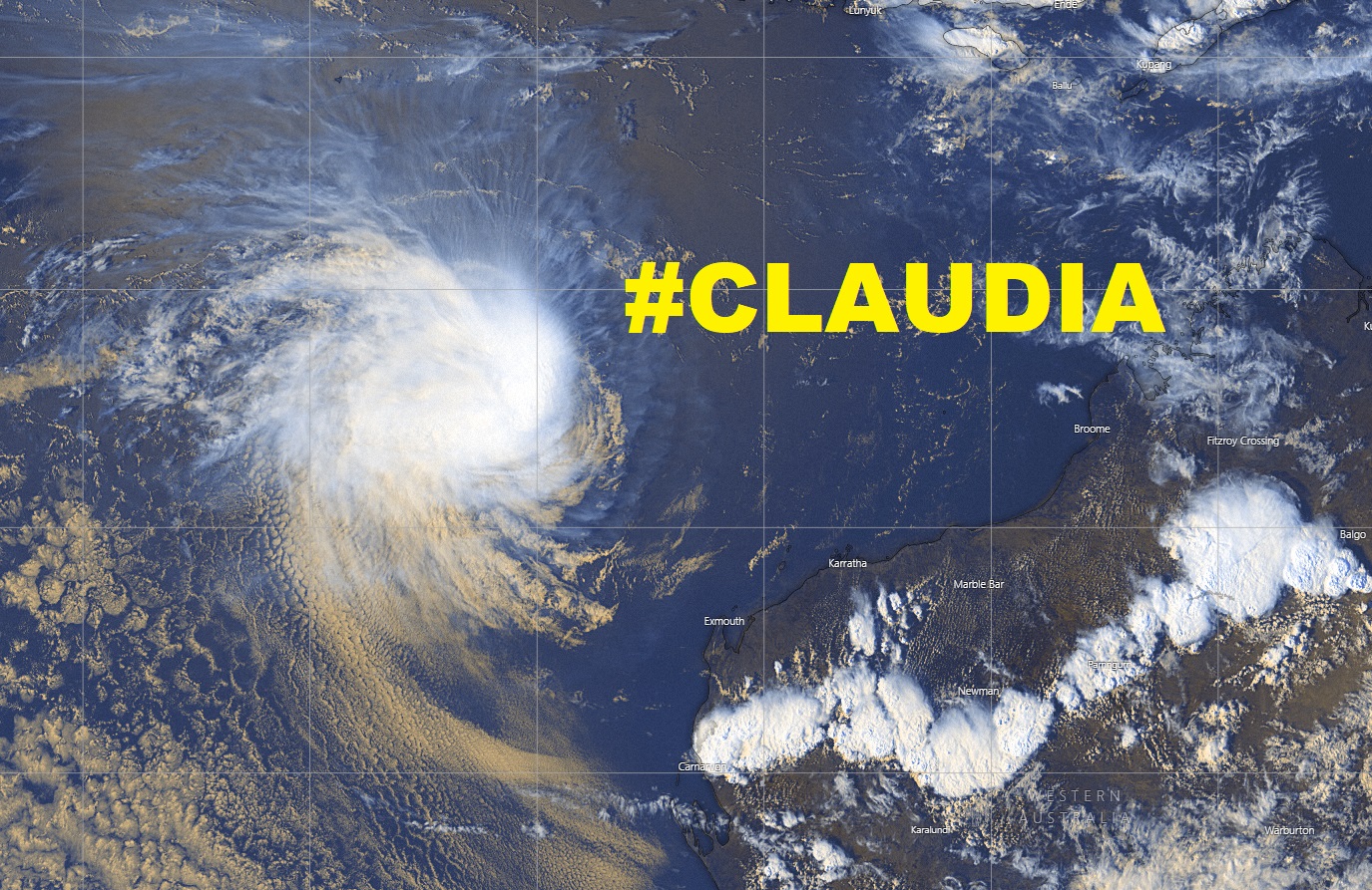
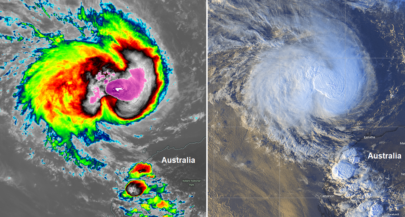
Tropical Cyclone #Claudia maintains an impressive satellite presentation but is finally weakening while moving away from Australia

Severe Tropical Cyclone #Claudia has been maintaining a strong Category 3 strength, with maximum sustained winds between 75 and 80 knots today, central pressure was … Read more

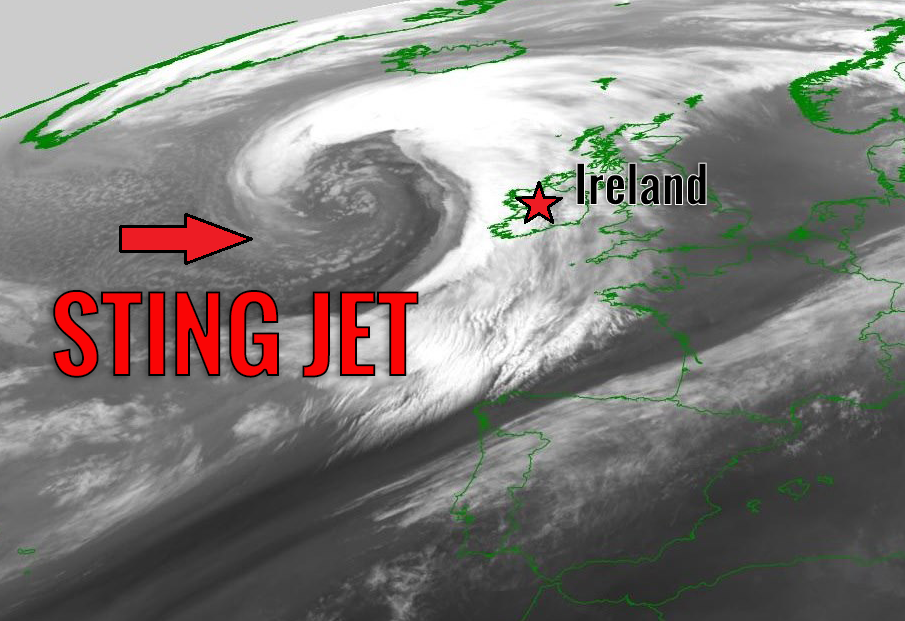
North Atlantic was on roll since Christmas – we have seen a number of intense extra-tropical cyclones with spectacular satellite presentation

Surely you couldn’t miss the news – North Atlantic has been incredibly active this winter, producing numerous intense extra-tropical cyclones in the past few weeks. … Read more

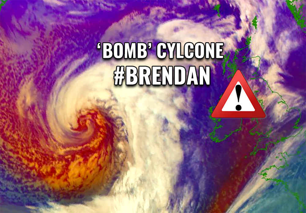
A powerful bomb cyclone #BRENDAN is nearing Ireland and Scotland, peak gusts are already 110-120 km/h along the coast. Conditions will significantly worsen tonight!

As expected, a powerful bomb cyclone #Brandan continues its explosive development and rapid intensification while moving towards the British and Irish Isles – Brendan is … Read more

Severe Tropical Cyclone #CLAUDIA has intensified into a borderline Category 4 cyclone, producing 80-knot winds and near 970 mbar northwest of Australia

Claudia continues moving west-southwest to the north of the northwestern coast of Western Australia state today, while still gradually gaining strength. As of 06 UTC … Read more

*Jan 12th evening UPDATE* on the explosive cyclogenesis / bomb cyclone #BRENDAN west of #Ireland – RED warning issued for extremely dangerous conditions tomorrow

Extra-tropical cyclone #Brendan has been rapidly intensifying lately, introducing an impressive satellite presentation, developing a ‘beasty look’ this evening! Brendan is expected to intensify for … Read more

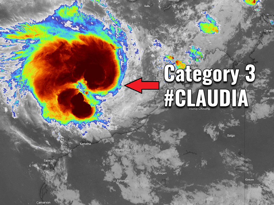
#CLAUDIA has been upgraded to a Severe Tropical Cyclone – a Category 3 cyclone with 70 knots / 80 mph sustained winds along the NW Australia

Tropical Cyclone #Claudia is now a solid Category 3 tropical system, officially a Severe Tropical Cyclone with maximum sustained winds of 70 knots / 80 … Read more