
A Spectacular Annular Solar Eclipse – Ring of Fire – in the U.S. on Oct 14th
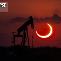
It’s time to wake up early on Saturday, October 14th, as a spectacular celestial show is coming up this weekend. A so-called Ring Of Fire …
It’s time to wake up early on Saturday, October 14th, as a spectacular celestial show is coming up this weekend. A so-called Ring Of Fire …
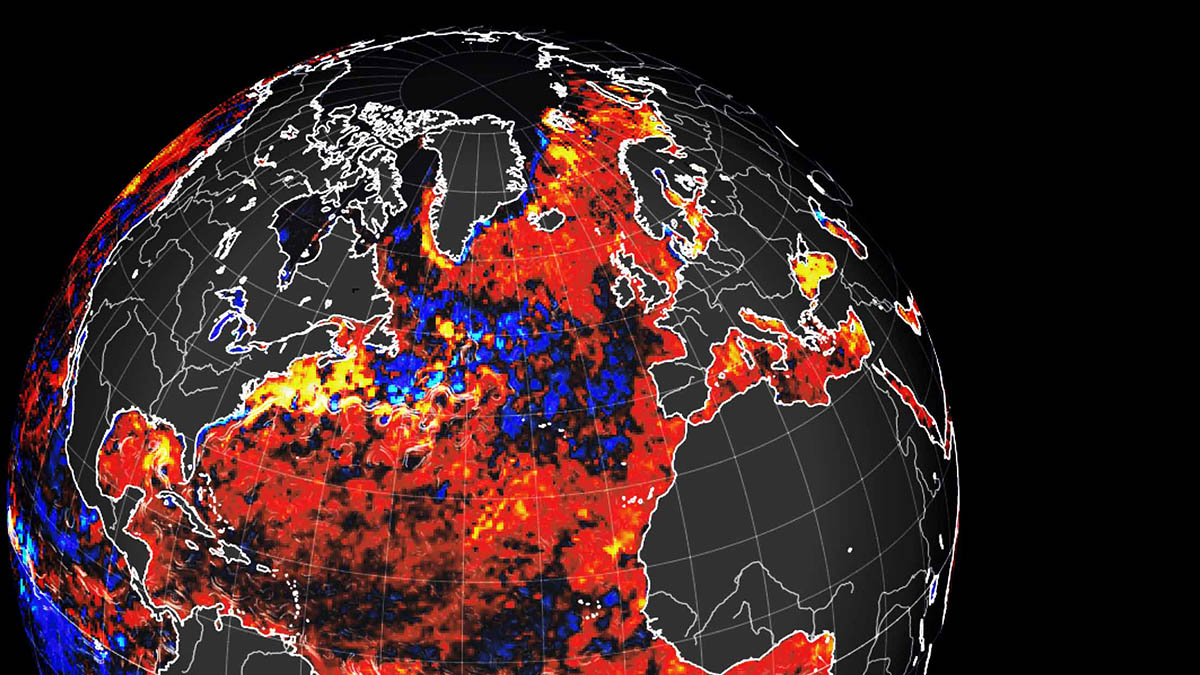
An impressive cold water anomaly in the North Atlantic called “The Cold Blob” is something likely caused by the weakening of the Atlantic Meridional Overturning …
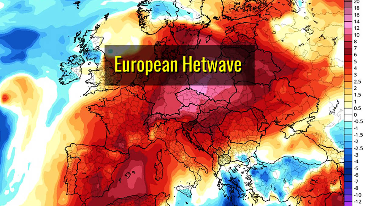
Significant Warming will develop in several areas of the northern hemisphere early this week starting from Greenland and Central Europe owing to the intense dynamic …

Between 15 and 17 July, Greenland’s north-western ice sheet lost 6 million tons of water per day. This exceptional melting was caused by exceptionally high …

In Greenland, the Hiawatha glacier hides a huge impact crater below the Ice Sheet. Regardless of its exact age, the asteroid had significant environmental consequences …
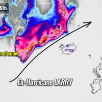
Hurricane Larry, the longest-lived tropical cyclone of the Atlantic Hurricane Season 2021, has made its final landfall in Newfoundland early Saturday morning. Larry is now …
Don’t forget to set up your alarm clock properly for Thursday this week. June 10th morning could be a unique and a lifetime opportunity to …
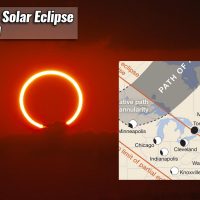
Just a few days is left for a spectacular celestial show for many across North America, the Atlantic, Europe, and Asia. The first solar eclipse …