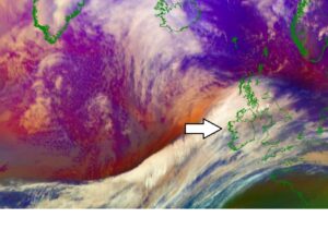
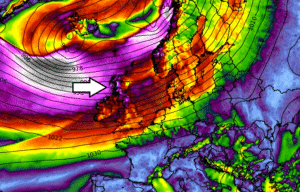
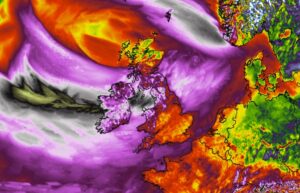
*Exceptional* satellite presentation of #Jorge – its powerful wind blast is moving into Ireland this morning
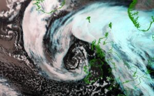
Wow, what a perfection! Despite extremely dangerous, we are seeing a spectacular satellite appearance with this North Atlantic cyclone, once again! This is the morning … Read more
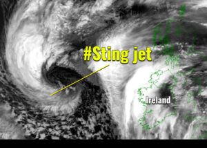
Sting jet develops with a *bomb cyclone* #Jorge – rapid intensification is underway

Friday evening storm #Jorge’s update – a rapid strengthening is underway as its central pressure has dropped for more than 30 mbar since Thursday evening. … Read more

North Atlantic strikes again this weekend – The explosive development of deep cyclone will introduce an intense storm #Jorge across Ireland, UK and Wales on Saturday

Dynamic Atlantic returns with another potentially dangerous North Atlantic storm to blast into western Europe this weekend. On the last day of February, Saturday 29th, … Read more

Another intense North Atlantic storm will bring severe windstorm and also quite some snow to parts of Scotland, Ireland, and England on Monday

It seems there is no break in the current ‘storm pattern’ over the North Atlantic and western Europe. Well, there isn’t. Yet again a deep … Read more

Friday’s *update* on the windstorm arriving into UK and Ireland tonight and Saturday morning, Feb 21-22nd

Satellite and surface analysis indicate a broad and powerful zonal westerly flow is established over the North Atlantic. Placed between a large low-pressure system on … Read more

A new rapidly intensifying North Atlantic storm on the way – delivering a powerful windstorm to UK and Ireland this weekend

While a large deep extra-tropical cyclone over the North Atlantic is currently occluding, there is already a new rapidly intensifying cyclone to its west. Its … Read more

A cold front associated with the North Atlantic cyclone could bring severe storms across western Europe today

A deep ~ 947 mbar cyclone is currently ongoing over the North Atlantic, centered to the southeast of Iceland. Its frontal system is pushing a … Read more