Fall arrival to Europe this week: summer weather replaced with cold and lots of rain, snow in the Alps

A long period of hot summer weather is coming to an end. It will be replaced with autumn weather. Right in time for the end … Read more
Global Weather News and Forecasts, covering the United States, Canada and Europe
A long period of hot summer weather is coming to an end. It will be replaced with autumn weather. Right in time for the end … Read more
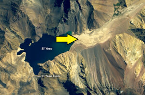
Severe drought is a rather a common occurrence in Chile, but the current one is setting a record-breaking longevity, entering its tenth year. The river … Read more
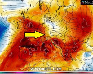
Let’s take a look over the weather patterns across our content this week, the final days of January and early days of the last winter … Read more

Like we didn’t have ridging pattern for several weeks now, there is an exceptional event coming in the next days. A very strong upper-level ridging … Read more

Days with precipitation are finally in increase across the eastern and partly southeastern parts of Australia, precisely across large parts of Queensland, New South Wales … Read more
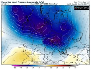
The extensive ridge across east-central Europe is getting replaced by a very large trough over the Atlantic, gradually expanding into to western half of the … Read more

Explanations for abbreviations (TSTM, SLGT, ENH, etc.) SYNOPSIS The overall pattern across Europe reveals a very large upper trough / low with a broad surface … Read more

The decaying stage of a large deep trough over SW Europe, which resulted in persisting rainy pattern over the northern Mediterranean will bring additional rainfall … Read more