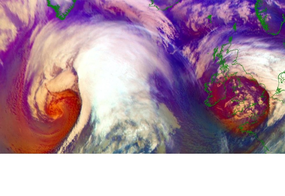
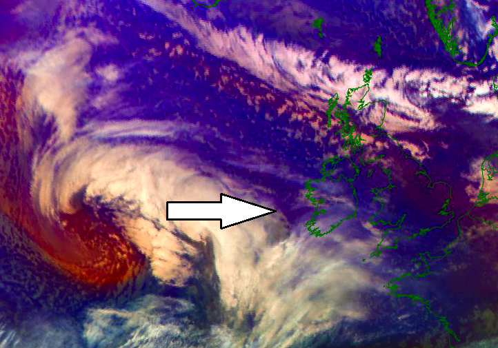
UPDATE on the extremely deep cyclone nearing Iceland – a *violent* windstorm is underway!
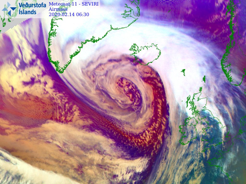
Latest satellite imagery and weather station data across Iceland indicate the extremely severe winds are fully developed across the North Atlantic. The mature stage of … Read more

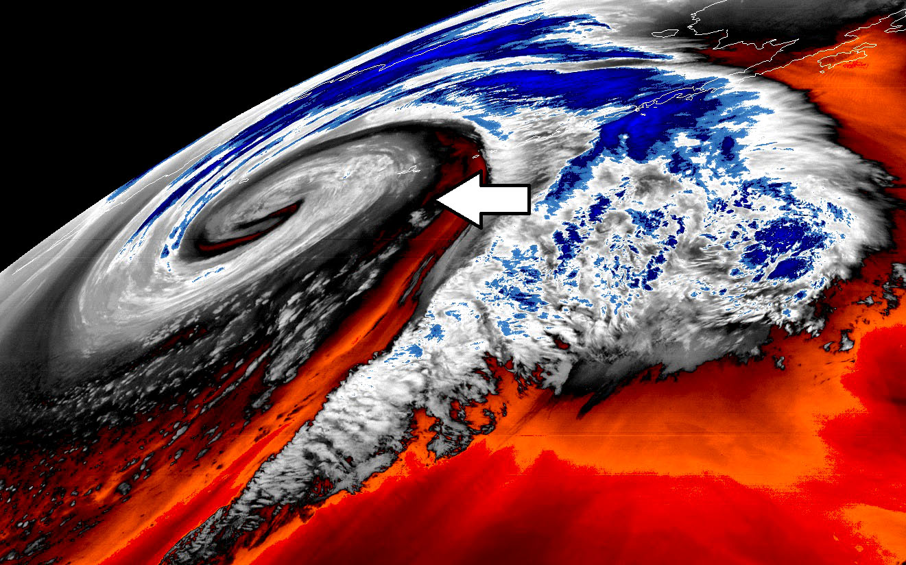
Planning Valentine’s day trip to Iceland? Not this year! A *violent* windstorm with wind gusts locally 180-220 km/h is expected tomorrow, Feb 14th

Seriously, although many are impressed by the exceptional satellite presentation of the ongoing explosive cyclogenesis over the North Atlantic (or the deep extra-tropical cyclone over … Read more

North Atlantic *update* – Impressive satellite presentation of twin cyclones

Here is a short morning update on the very dynamic pattern over the North Atlantic today; we have a decaying deep cyclone, passing over the … Read more

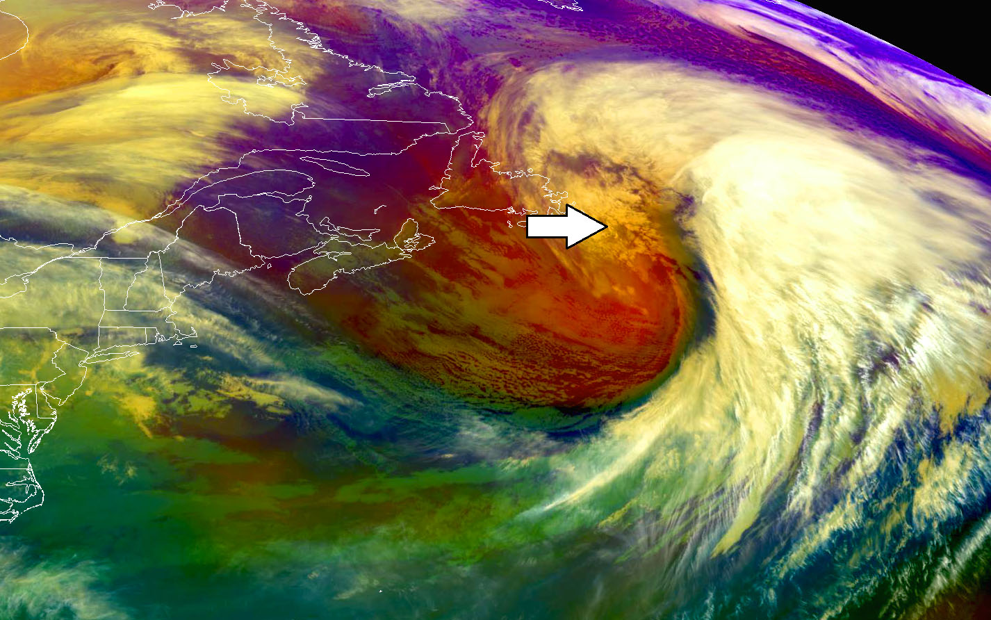
Explosive cyclogenesis underway across the Northwest Atlantic, while the system is creating tandem of twins – it is connected to the cyclone nearing the UK and Ireland

As expected, the Northwest and North Atlantic are creating a spectacular show tonight. A very impressive satellite presentation is seen on the explosive cyclogenesis near … Read more

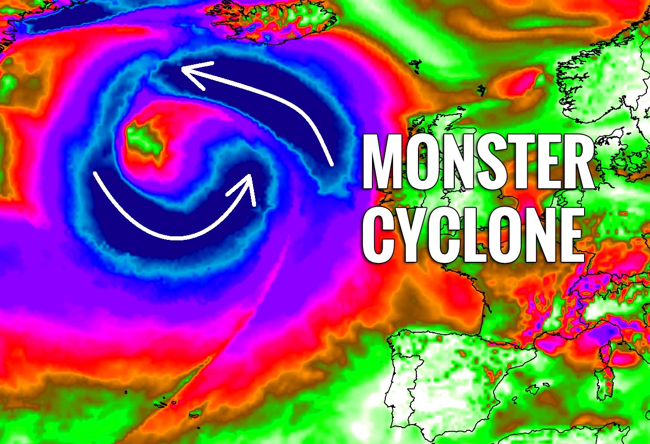
Probably the most intense extra-tropical cyclone of the season will be seen across the North Atlantic on Thursday and Friday

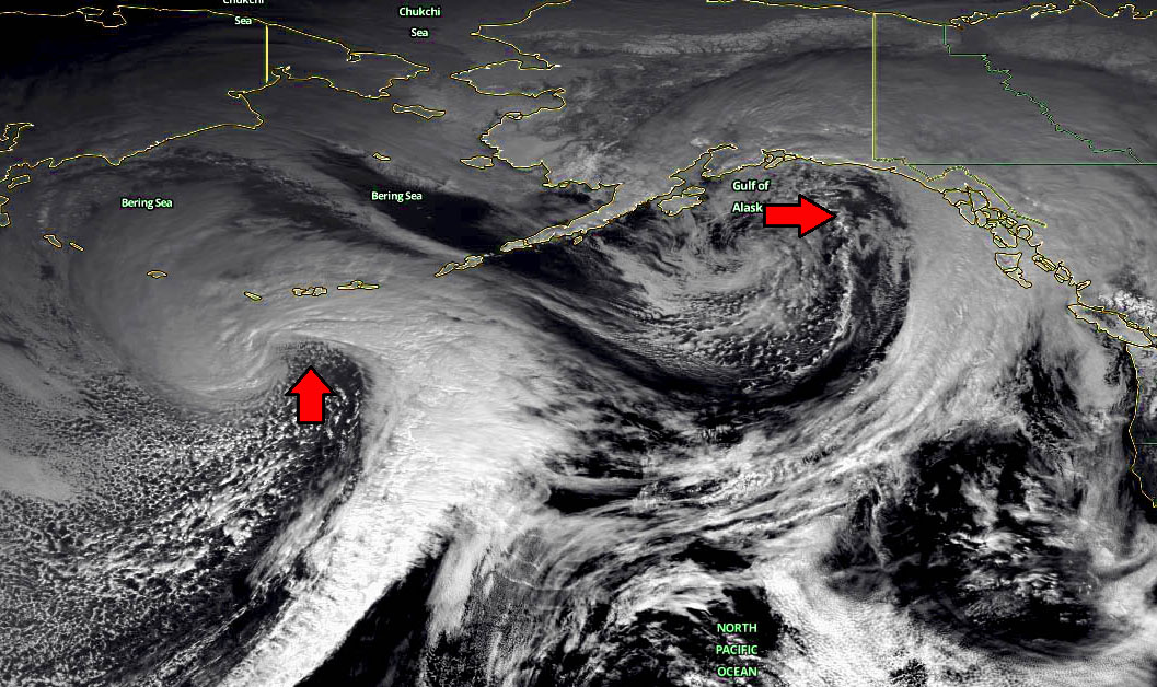
Yes, you’ve read it right. No overhype or impossible feature. After seeing so many impressive deep cyclones / extra-tropical systems this winter (on both North … Read more

Feb 12th morning *update* on the potentially strong low-pressure system blasting into Ireland, Wales, and England with intense front and wind squalls tonight

As we discussed yesterday, another deep low-pressure system is expected to move across the western Europe tonight, starting a new dynamic pattern over the North … Read more