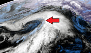
And we’re back at #weatherp0rn – Exceptional satellite imagery of the deep cyclone over the North Pacific

Like we discussed earlier today, the North Pacific cyclone is a real, photogenic monster. The satellite presentation is spectacular. Cyclone has reached 955 mbar this … Read more
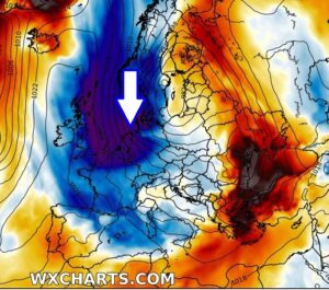
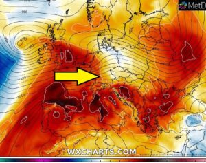
Wait! Is this for real?! An *Arctic* outbreak is actually possible in this unusually mild winter? GFS and ECMWF models are in good agreement much colder weather is possible across western and central Europe through early February

Seriously, there is an increasing potential for a pattern flip in early February. Finally, after many weeks we could say. Both global models GFS and … Read more

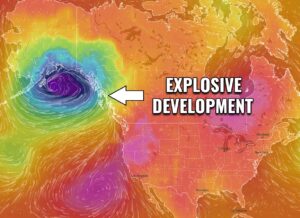
A rapidly intensifying extra-tropical cyclone in the North Pacific today – heading towards S-SE Alaska with hurricane-force winds, major swell, and intense snowstorm

Conditions across the North Pacific are worsening as a very impressive frontal system is undergoing an explosive development, expanding its size with rapidly deepening central … Read more

The explosive development of an extra-tropical cyclone (~950 mbar) over the North Pacific on Tuesday, heading to a direct hit into Alaska through Wednesday

There is no break in the dynamic pattern even across the North Pacific, cyclones are forming over and over again. Yet another, this time a … Read more

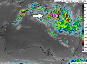
A dangerous tropical wave – Invest #98P forms along the coast of the Gulf of Carpentaria, Queensland, Australia – the enhanced potential for intense flooding

A potentially dangerous tropical wave – Invest #98P – acting as a monsoon-like upper trough with an associated surface low over the tropics, is generating … Read more

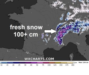
Jan 26th update: A very large cyclone literally all over the North Atlantic now – developing widespread windstorm on its south, heading towards UK, Ireland and France by Tuesday

As we discussed yesterday, the current pattern over the North Atlantic and European continent is supporting blocking ridge over Europe but very deep trough across … Read more