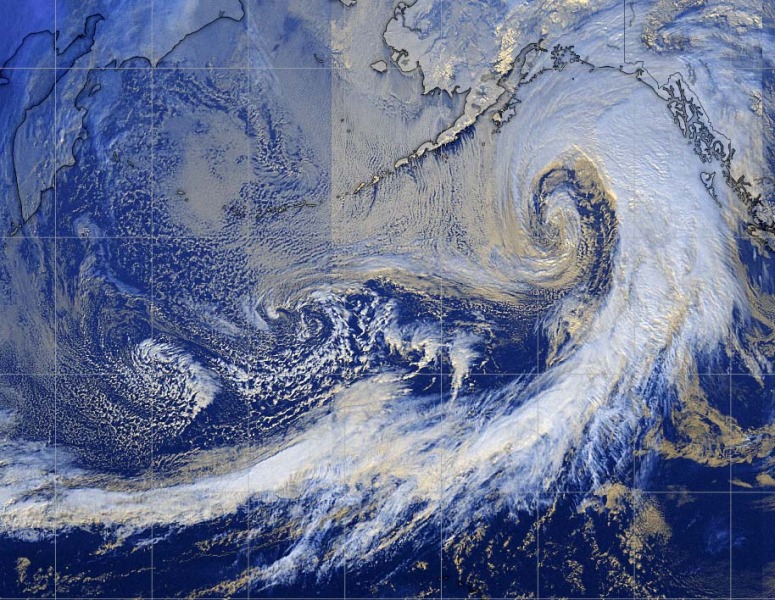
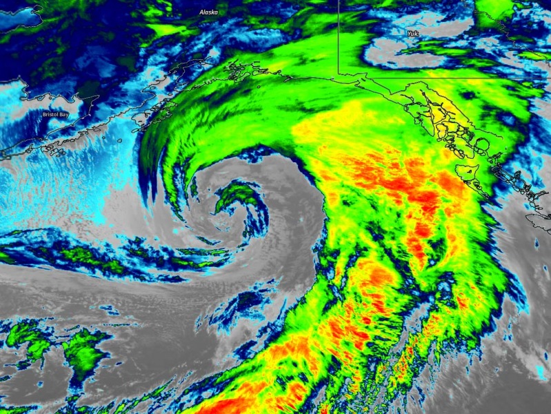
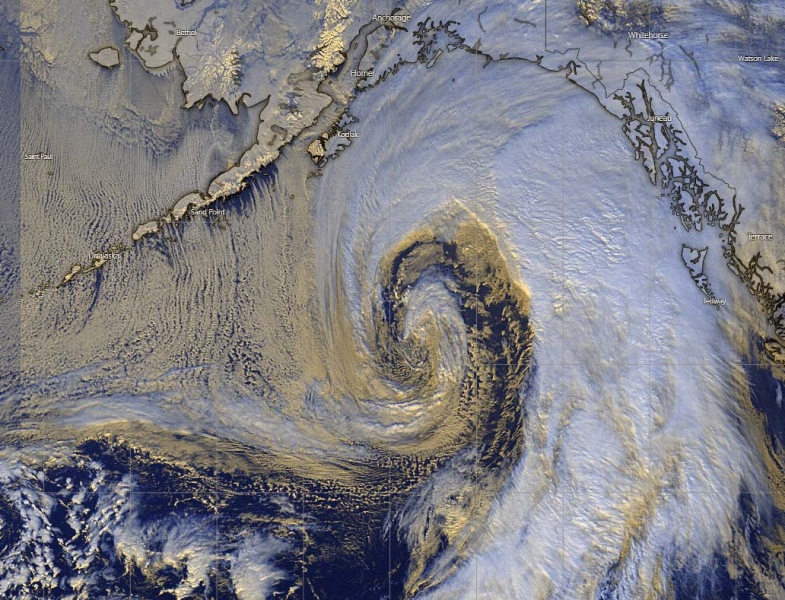
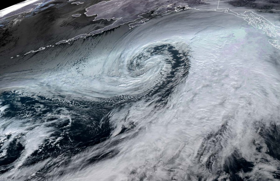
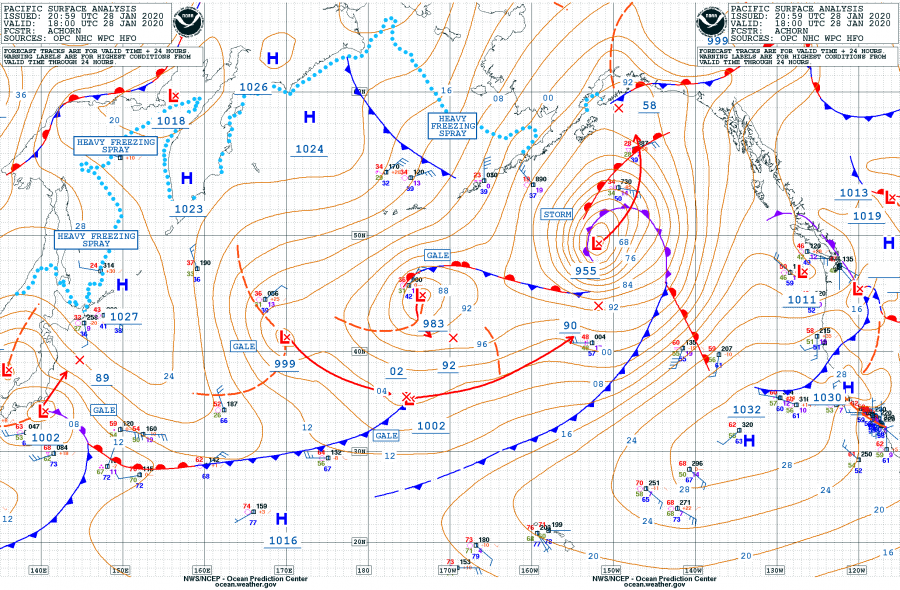
Like we discussed earlier today, the North Pacific cyclone is a real, photogenic monster. The satellite presentation is spectacular. Cyclone has reached 955 mbar this local early afternoon and continues moving north towards the Gulf of Alaska with slower advancing speed now. The potential for dangerous weather remains on track with the previous thinking. It will be intense across south and southeast Alaska – violent winds, high waves and major snowfall across the coastal areas are expected.
Satellite imagery is indeed beyond exceptional. Very didactic and informative. For example, a nice feature is the textbook Arctic cold airmass advection is perfectly visible across the Aleutian Islands, resulting in long cloud streets! Let the images speak for themselves – here are various GOES-WEST Satelite scans in different channels:
Close-up detailed views:
Here is the updated 6-hour pressure data since the system formed yesterday morning. Rapid intensification is probably near its finish now, the cyclone will be maintaining similar strength while drifting into the Gulf of Alaska until tomorrow evening. It now has the minimum centrl pressure of 955 mbar at 18 UTC update (Jan 28th), so the pressure drop was 36 mbar in the past 24 hours.
- 1001 mbar as of Jan 27th 06 UTC
- 996 mbar as of Jan 27th 12 UTC
- 991 mbar as of Jan 27th 18 UTC
- 980 mbar as of Jan 28th 00 UTC
- 968 mbar as of Jan 28th 06 UTC
- 959 mbar as of Jan 28th 12 UTC
- 955 mbar as of Jan 28th 18 UTC
The potential for dangerous weather remains on track with the previous thinking. It will be intense across south and southeast Alaska – violent winds, high waves and major snowfall across the coastal areas are expected. Please refer to the previous discussions regarding the future behavior of this remarkable cyclone:
See also – Arctic outbreaak might finally push into parts of Europe in early February:
What Stratosphere is telling us for the rest of winter?

