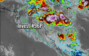
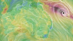
A Tropical Low #96P is intensifying along northeast Australia – should become a severe tropical cyclone while passing near New Caledonia over the weekend, then heads towards New Zealand next week

An Invest #96P (former #95S) has been developing during the past two days while crossing the Gulf of Carpentaria and Cape York peninsula. It is … Read more

Tropical depression #Esther is moving back towards the Northern Territory, trends suggest the system might survive until New South Wales

A tropical depression #Esther has made the U-turn back towards southeast, and is now moving into the Northern Territory state again. Excessive rainfall threat continues … Read more

*Update* on the ongoing tropical activity along northern Australia – #Ferdinand is weakening while #Esther continues with extreme rainfall and flooding potential

Severe Tropical Cyclone #Ferdinand has peaked last night as a strong Category 3 system, while the remnants of Tropical Cyclone #Esther have been re-organizing and … Read more

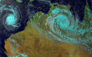
Two tropical systems – Severe Tropical Cyclone #Ferdinand and remnants of #Esther along northern Australia this week

There are currently two tropical systems along northern Australia, the Severe Tropical Cyclone #Ferdinand and remnants of the Tropical Cyclone #Esther. Both look quite interesting … Read more

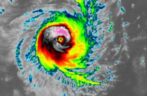
The explosive development of a Severe Tropical Cyclone #Ferdinand northwest of Australia – 85 knots sustained winds (Category 3)

An explosive development and rapid intensification of Tropical Cyclone #Ferdinand is underway! The systems likely contributed from the very favorable sea waters of more than … Read more