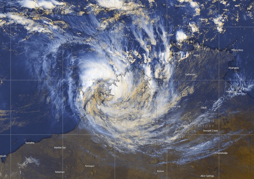
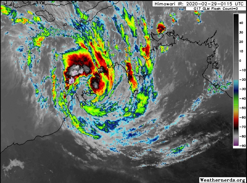
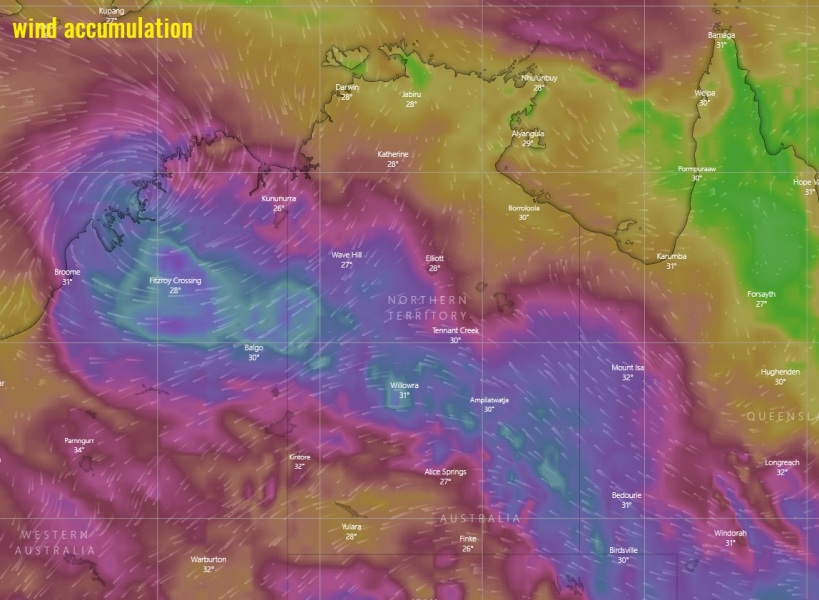
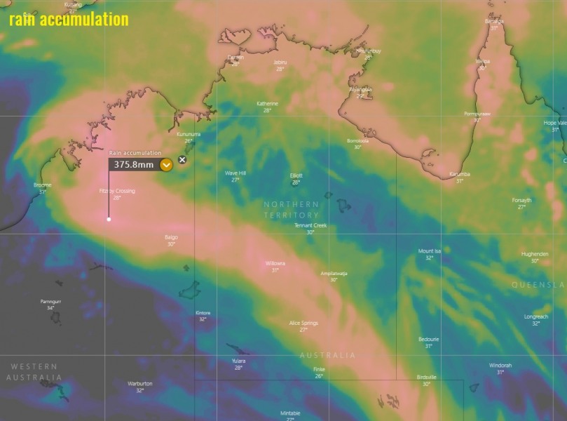
Remnants of ex-Tropical Cyclone #Esther crossed the Northern Territory state this week and are now maintaining along the northeast coast of Western Australia state. The system is still drifting westward, right on the coast near the very warm sea-surface temperatures which is supporting deep convection and maintaining this tropical depression. It has the maximum sustained winds of 30 knots and pressure around 1000 mbar. Esther is expected to make a sharp U-turn towards southeast this weekend, and continue with excessive rainfall and flooding threat into early March while moving back into the central Northern Territory state. Locally, 300-500 mm of rain is possible along Esther’s path!
*********************************************
*********************************************
Satellite imagery reveals still quite an impressive outflow ventilation of the system, with deep convective cells fueling from the warm ocean nearby.
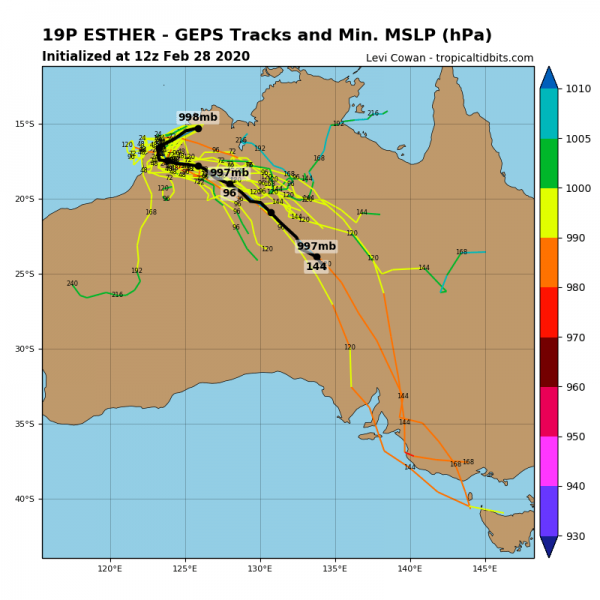
As mentioned earlier, the depression will soon make a U-turn back towards the southeast into the central Northern Territory state. Models are hinting it will maintain for at least another 5 days, possibly even more while drifting into central Australia.
Huge amounts of rain are still expected along the future path of the depression, introducing dangerous threat for flooding in some areas.
Stay tuned for updates! Meanwhile, see the previous discussions:
Menawhile in Europe – a violent windstorm #Jorge is moving across Ireland and UK:
