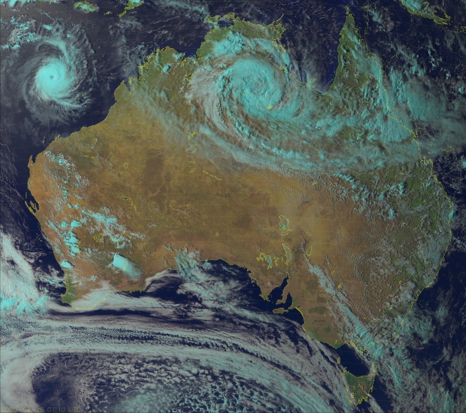
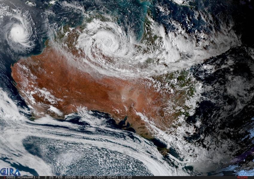
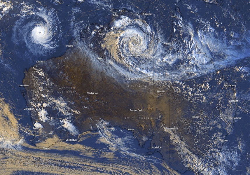
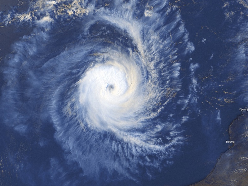
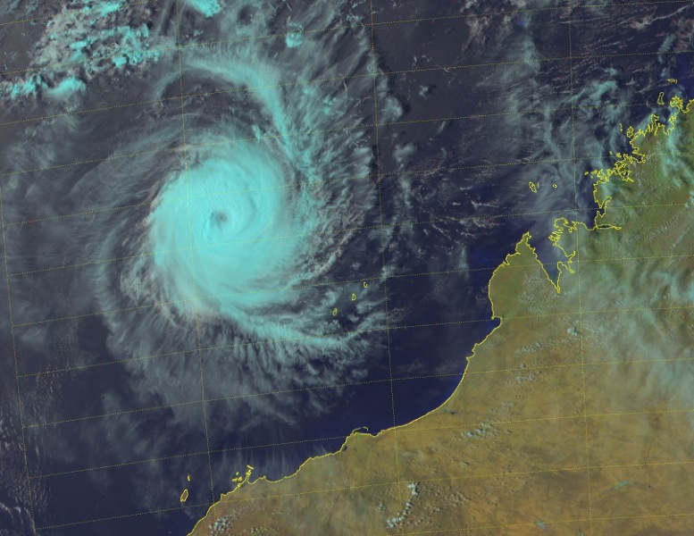
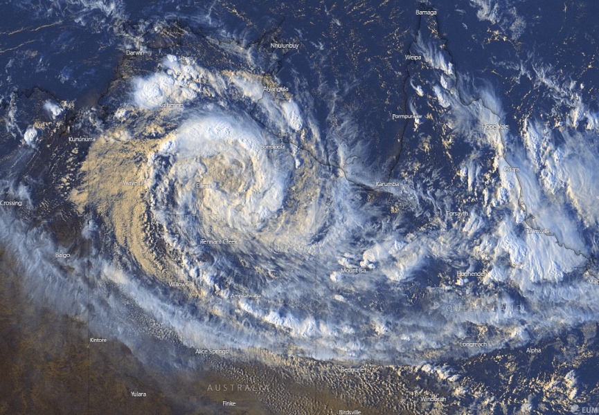
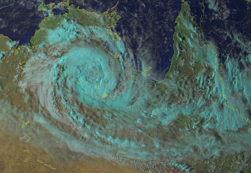
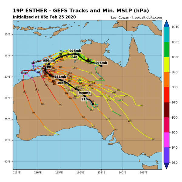
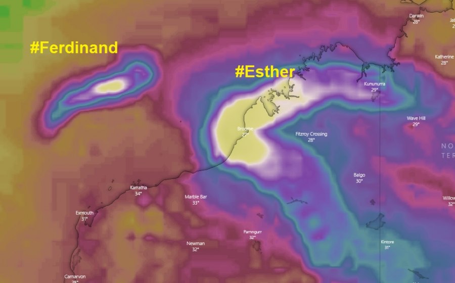
There are currently two tropical systems along northern Australia, the Severe Tropical Cyclone #Ferdinand and remnants of the Tropical Cyclone #Esther. Both look quite interesting on the satellite. While Ferdinand is very intense and should remain over the open waters this week, remnants of Esther are likely to organize back into a Tropical Cyclone when it ejects back to the sea this weekend.
*********************************************
NEW UPDATE: The tropical depression 19P (ex-#Esther) now moving along the Western Australia coast
*update* on the tropical depression 19P (ex #Esther) now moving along the Western Australia coast
*********************************************
The satellite this late afternoon (local time 6 pm on Feb 25th) revealed both system ongoing, Esther over the Northern Territory and Ferdinand over the sea north of the Western Australia state.
System #20S – Tropical Cyclone #Ferdinand
Maximum sustained winds of 85 knots, central pressure 970 mbar.
Read more about Ferdinand:
System #19P – ex-Tropical cyclone #Esther
Maximum sustained winds of 30 knots, central pressure 998 mbar.
Read more about Esther:
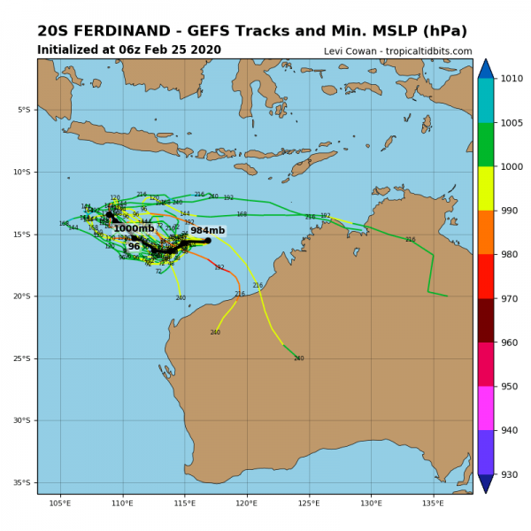
Here is a concerning chart for cumulative winds through the next 10 days – we can see both system tracks where #Esther has the potential to become a very intense system this weekend, once it goes back over the ocean. That would be dangerous for the Broome area! Ferdinand should remain away from any land areas.
Stay tuned for further follow-up posts and updates in the coming days!
