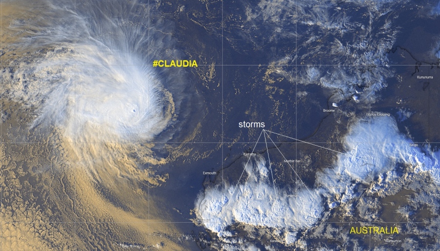
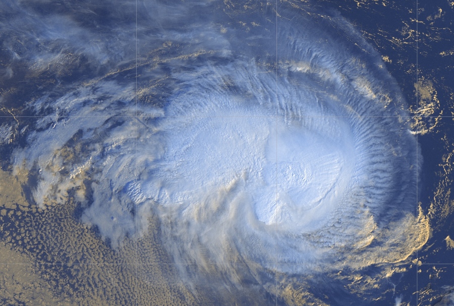
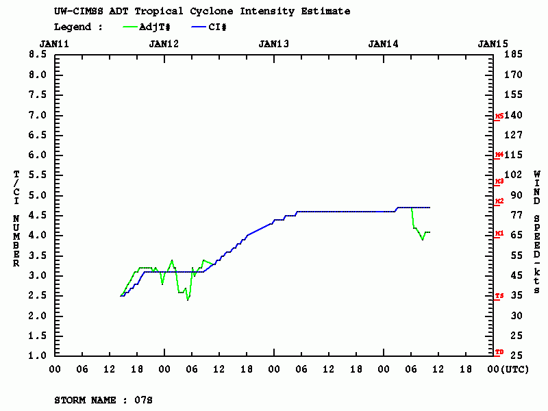
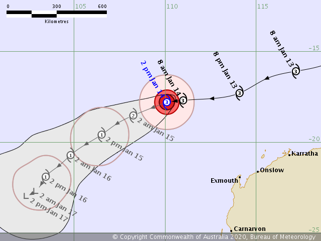
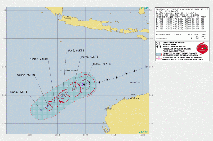
Severe Tropical Cyclone #Claudia has been maintaining a strong Category 3 strength, with maximum sustained winds between 75 and 80 knots today, central pressure was around 970 mbar. The system is still looking pretty impressive on the satellite imagery, but is, however, in its final weakening trend while moving further away from Australia.
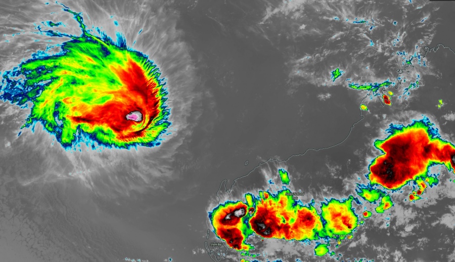
Some pretty impressive satellite imagery today, in Infrared and Visible channels. Claudia has been more compact with intense convection around the center. Notice the pretty healthy upper-level outflow cirrus clouds ventilation across the NE and SE quadrants, extending far away from the cyclone. We can also see some pretty big storm clusters across the northwestern part of Western Australia state, delivering a much-needed rain for the severe drought there!
New satellite view of Category 3 Severe Tropical Cyclone #Claudia via @zoom_earth #CycloneClaudia pic.twitter.com/3hk6lrJnKL
— Zoom Earth (@zoom_earth) January 14, 2020
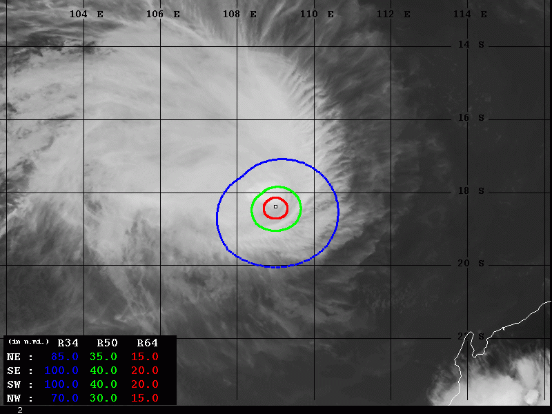
Dvorak estimates suggest the maximum sustained winds are still around 80 knots, with the minimum central pressure around 970 mbar. The system still has a hurricane-force 64-knot winds radii, extending 15-20 miles around the center. And indeed larger, 30-40 miles, 50-knot wind radii across all four quadrants.
Claudia continues towards the southwest, away from Australia. It was still a Category 3 system today but is now expected to continue weakening more in the coming days and dissipate over the weekend.
This is our last update on the Tropical Cyclone #Claudia – stay tuned for a discussion about the new tropical development #92S, forming near Vanuatu. This new forming system is likely to become a Tropical Cyclone as well in the coming days, heading towards the Fiji archipelago.
See the previous discussions:
Interested in our calendar? We are proud to present and promote the best weather photographers in Europe – see details:
