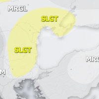
Outlook DAY 1 (valid: 09/06/2019)
Severe Weather Outlooks FAQ SYNOPSIS A large upper trough / low persists across WSW Europe while an upper ridge dominates S-CNTRL and ENE Europe. An …
Severe Weather Outlooks FAQ SYNOPSIS A large upper trough / low persists across WSW Europe while an upper ridge dominates S-CNTRL and ENE Europe. An …
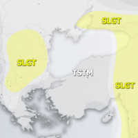
Severe Weather Outlooks FAQ SYNOPSIS A weakening upper trough / surface low is progressing NE from the W Europe across the North Sea into Scandinavia. …
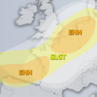
Severe Weather Outlooks FAQ SYNOPSIS A deep trough / low is centered over WSW Europe with a deep cyclone moving from the Bay of Biscay …
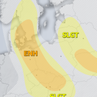
Severe Weather Outlooks FAQ SYNOPSIS A strong ridge persists across N-NE Europe while an upper low over the S Balkan peninsula weakens. To the west, …
Another round of severe thunderstorms will affect E France, BeNeLux and W Germany today. Severe thunderstorms with large to very large hail, severe straight line …
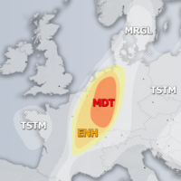
Severe Weather Outlooks FAQ SYNOPSIS A strong ridge persists over ENE Europe while an upper low remains over the S Balkan peninsula. A deep trough …
Widespread severe thunderstorms are expected across parts of northern and central France and BeNeLux today. Main severe weather threats include torrential rainfall, large to very …
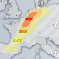
Severe Weather Outlooks FAQ SYNOPSIS An upper low is centered over the S Balkan peninsula, surrounded by high-pressure systems / ridging pattern across SW, central, …