SYNOPSIS
A weakening upper trough / surface low is progressing NE from the W Europe across the North Sea into Scandinavia. A surface cold front pushes further NE into S Scandinavia and towards E Europe. Strong ridge persists across southern Europe and NW Russia.
DISCUSSION
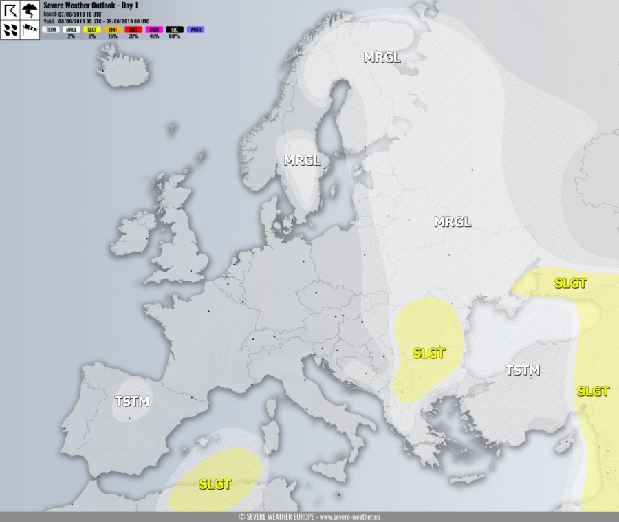
SLGT risk has been issued for eastern Balkan countries with threat for marginally large hail with accumulation, severe winds and torrential / excessive rainfall. The widespread activity of some organized slow-moving storms with flash floods and hail accumulation threat is likely.
SLGT risk has been issued for SW Russia, Georgia, E Turkey into the Middle East with threat for severe storms, capable of producing severe winds, large to very large hail and torrential rainfall.
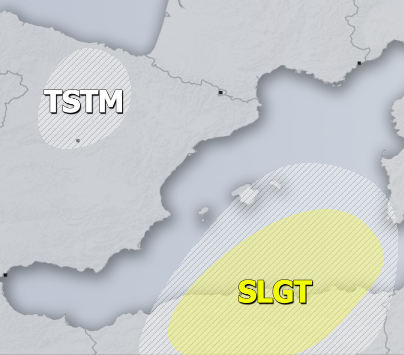
SLGT risk has been issued for N Algeria with threat for severe storms, capable of producing severe winds and large hail.
MRGL risks have been issued for S and N Sweden into N-CNTRL Finland, NW Russia across ESE Europe and E/S Balkan peninsula with threat for isolated severe storms, capable of producing severe winds and marginal hail.
TSTM risk areas have been placed where convective storms are likely to occur but should remain sub-severe.


