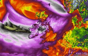
*Exceptional* satellite presentation of #Jorge – its powerful wind blast is moving into Ireland this morning
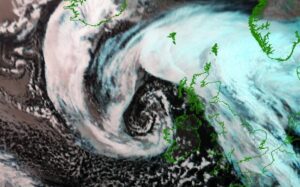
Wow, what a perfection! Despite extremely dangerous, we are seeing a spectacular satellite appearance with this North Atlantic cyclone, once again! This is the morning … Read more

A sharp cold front pushes across France, Benelux, and Germany this afternoon (Saturday) – a convective line with severe wind squalls possible

The cold front associated with the ongoing violent windstorm #Jorge ejects from the UK by midday Saturday and advances further east into continental Europe in … Read more

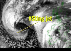
Sting jet develops with a *bomb cyclone* #Jorge – rapid intensification is underway

Friday evening storm #Jorge’s update – a rapid strengthening is underway as its central pressure has dropped for more than 30 mbar since Thursday evening. … Read more

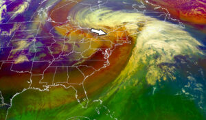
An impressive satellite view of the large cyclone over the Northeast US – intense lake-effect snowfall event is developing across the Great Lakes tonight through Sunday

A powerful winter storm over the Northeast US is now already spreading into southeast Canada, developing heavy snowfall and intense blizzard there. On its wake, … Read more

North Atlantic strikes again this weekend – The explosive development of deep cyclone will introduce an intense storm #Jorge across Ireland, UK and Wales on Saturday

Dynamic Atlantic returns with another potentially dangerous North Atlantic storm to blast into western Europe this weekend. On the last day of February, Saturday 29th, … Read more

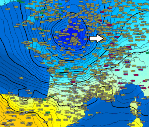
A quite deep low-pressure system moves across central Europe today, delivering 10-20cm of snow locally from Benelux across Germany into Czechia, more in the higher elevations

A quite impressive low-pressure system with well-defined surface fronts is moving across central Europe today, it will deliver quite a good amount of snow in … Read more