Jan 29th *update* on the powerful ~955 mbar cyclone over the Gulf of Alaska

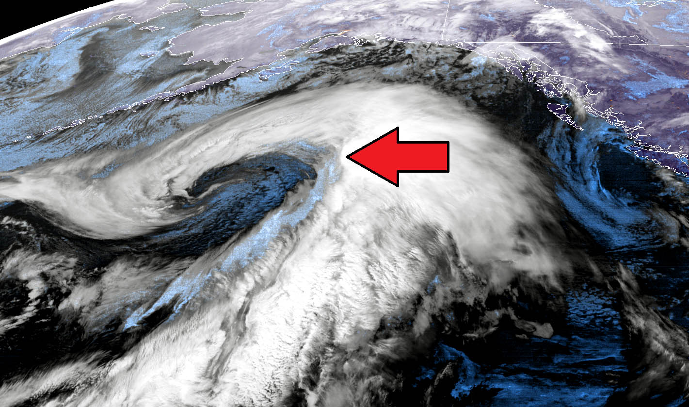
An extra-tropical cyclone has been maintaining its powerful strength overnight and is now with its center over the Gulf of Alaska. An intense winter storm … Read more
Global Weather News and Forecasts, covering the United States, Canada and Europe
An extra-tropical cyclone has been maintaining its powerful strength overnight and is now with its center over the Gulf of Alaska. An intense winter storm … Read more

Like we discussed earlier today, the North Pacific cyclone is a real, photogenic monster. The satellite presentation is spectacular. Cyclone has reached 955 mbar this … Read more
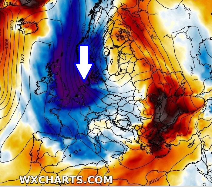
Seriously, there is an increasing potential for a pattern flip in early February. Finally, after many weeks we could say. Both global models GFS and … Read more
If strong earthquakes, volcanic eruptions and virus outbreaks were not enough to start 2020, we now have a locust swarm of biblical proportions ongoing in … Read more
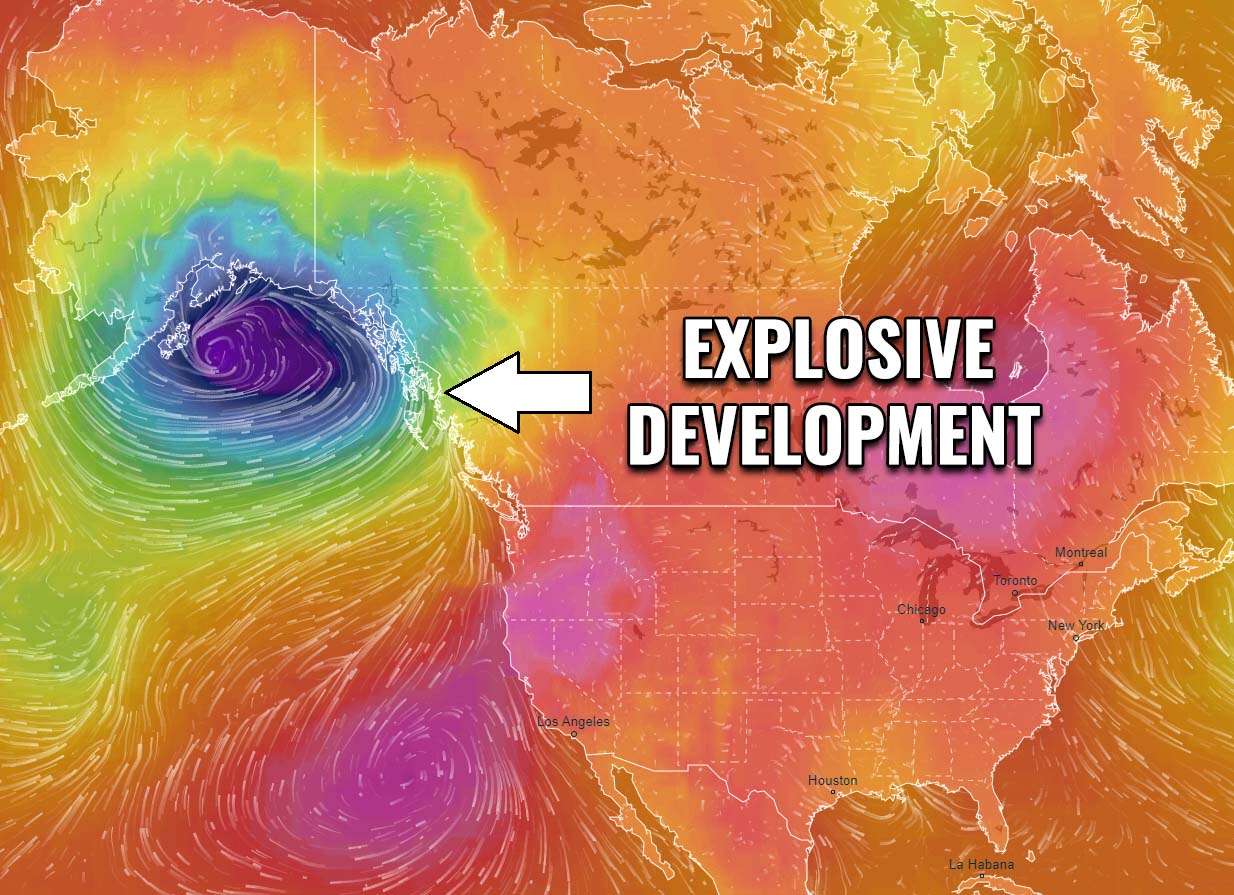
Conditions across the North Pacific are worsening as a very impressive frontal system is undergoing an explosive development, expanding its size with rapidly deepening central … Read more
Please read the Contest participation guides and Rules here. Week 12 of 2019 (Mar 18th – Mar 24th ) – the highest number of votes … Read more
As we discussed in the pattern outlook yesterday, there is an overall trend of mild weather to continue through the rest of January into early … Read more
There is no break in the dynamic pattern even across the North Pacific, cyclones are forming over and over again. Yet another, this time a … Read more