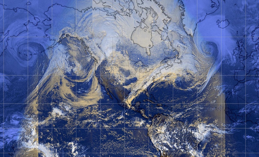
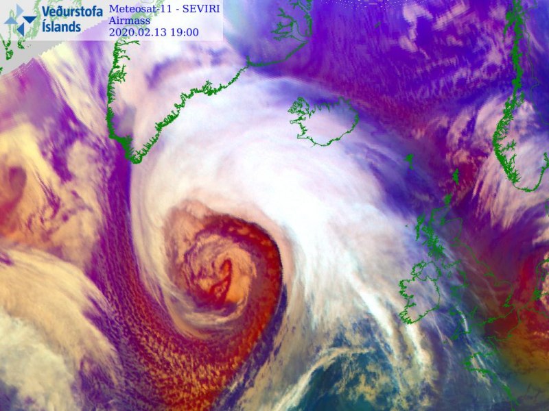
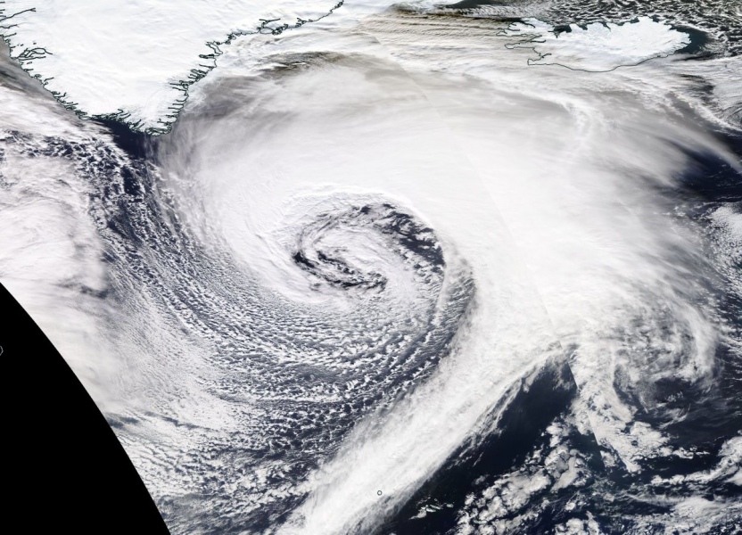
Remember the famous movie ‘The day after tomorrow’? It obviously did not get into reality, but the satellite images today across the northern hemisphere are beyond exceptional! We have first seen twins on both North Pacific and North Atlantic ocean last night, now we’re seeing two dominant extra-tropical systems! See details and comparison of both below.
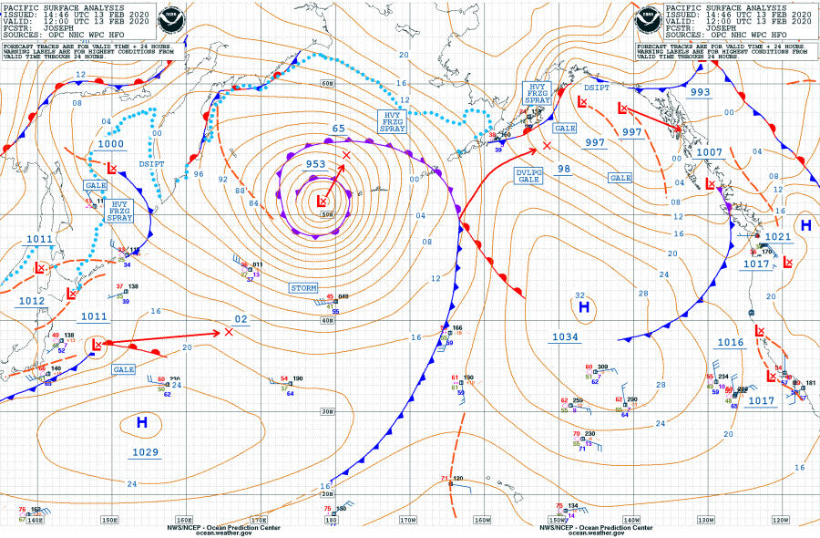
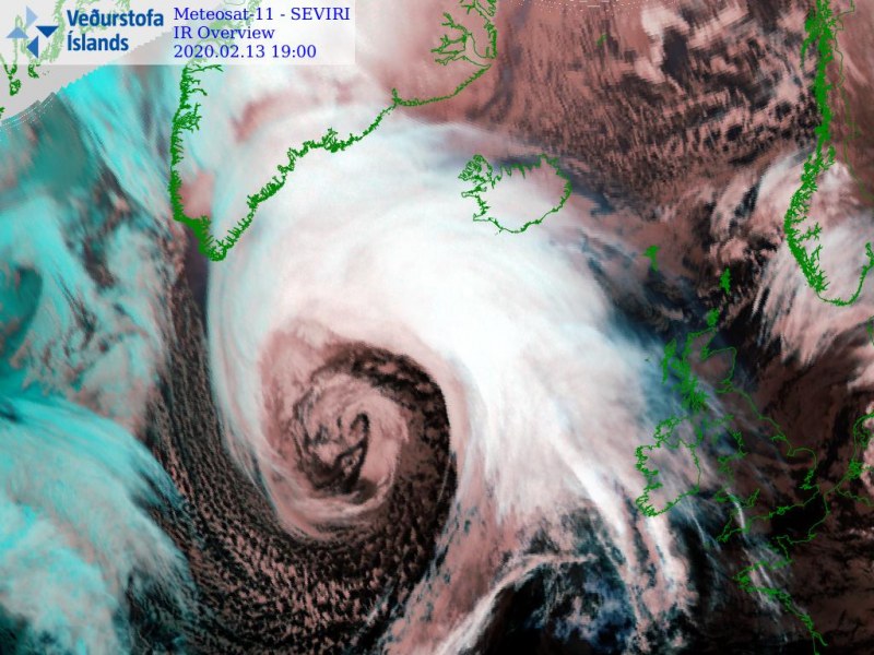
Feb 13th, 12 UTC analysis of both systems; the North Pacific had a central pressure of 953 mbar, the North Atlantic had a central pressure of 940 mbar! Pretty exceptional satellite presentation on both systems, where the North Atlantic is much more intense and large. Attached are sea level pressure, fronts analysis, and satellite images:
North Pacific:
North Atlantic:
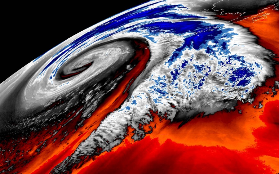
Here are some extra satellite images with more details:
North Pacific storm:
See details in other discussions:
The perfect storm – monster extra-tropical cyclone over the North Pacific today
Spectacular tandem of twins – two cyclones over the North Pacific today, Feb 12th
North Atlantic storm:
See details in other discussions:
North Atlantic *update* – Impressive satellite presentation of twin cyclones
Here is the animation of wind gusts by ICON-EU model, with violent winds expected across the North Atlantic in the coming days. Additionally, we have made an animation of significant wave heights associated with this system:

