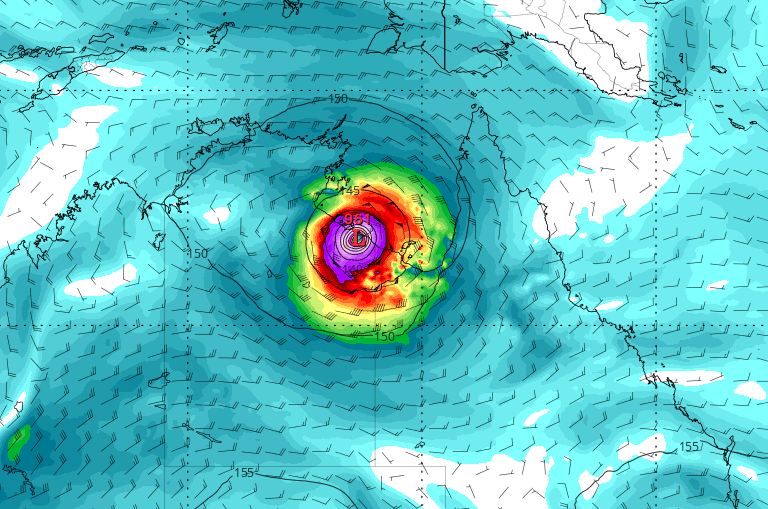
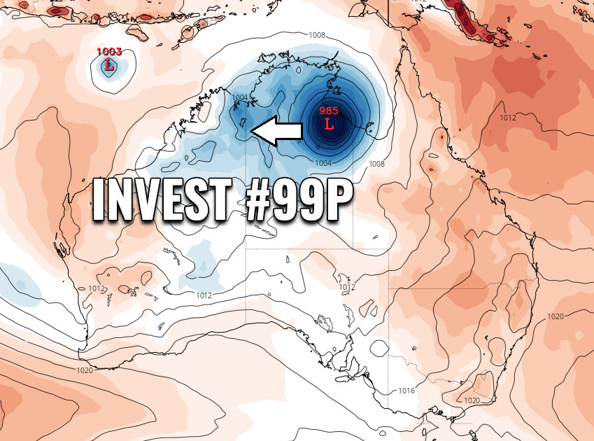
Tropical low #99P gradually organizing along northern Australia, should become a potentially dangerous Tropical Cyclone #Esther tomorrow

As we discussed yesterday, tropical activity is ramping up around Australia. An Invest #99P was born over the Gulf of Carpentaria, located between the Northern … Read more

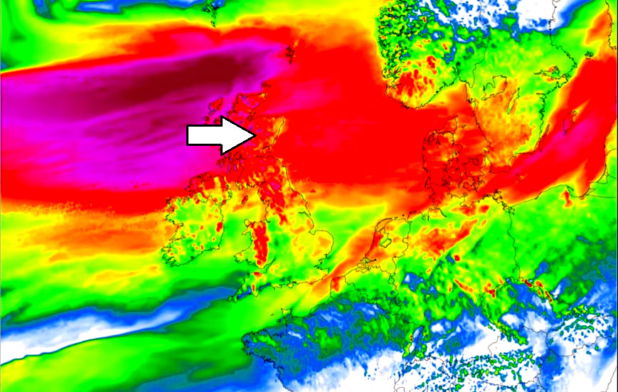
Friday’s *update* on the windstorm arriving into UK and Ireland tonight and Saturday morning, Feb 21-22nd

Satellite and surface analysis indicate a broad and powerful zonal westerly flow is established over the North Atlantic. Placed between a large low-pressure system on … Read more

Invest #99P forms in the Gulf of Carpentaria today – increasing the potential for its significant flooding impact on Australia next week

Tropical cyclone activity is becoming better defined this week. An Invest #99P has formed along northern Australia, in the Gulf of Carpentaria. Although the tropical … Read more

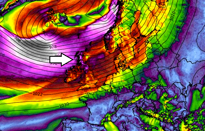
A new rapidly intensifying North Atlantic storm on the way – delivering a powerful windstorm to UK and Ireland this weekend

While a large deep extra-tropical cyclone over the North Atlantic is currently occluding, there is already a new rapidly intensifying cyclone to its west. Its … Read more

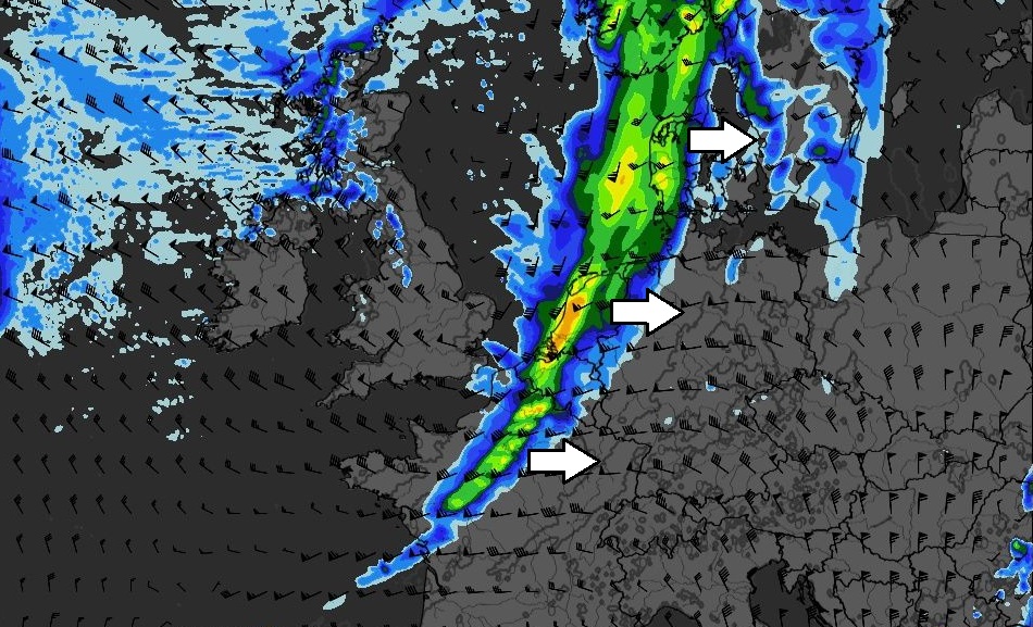
A cold front associated with the North Atlantic cyclone could bring severe storms across western Europe today

A deep ~ 947 mbar cyclone is currently ongoing over the North Atlantic, centered to the southeast of Iceland. Its frontal system is pushing a … Read more