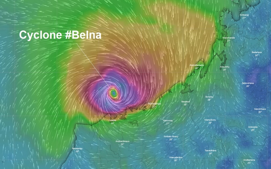
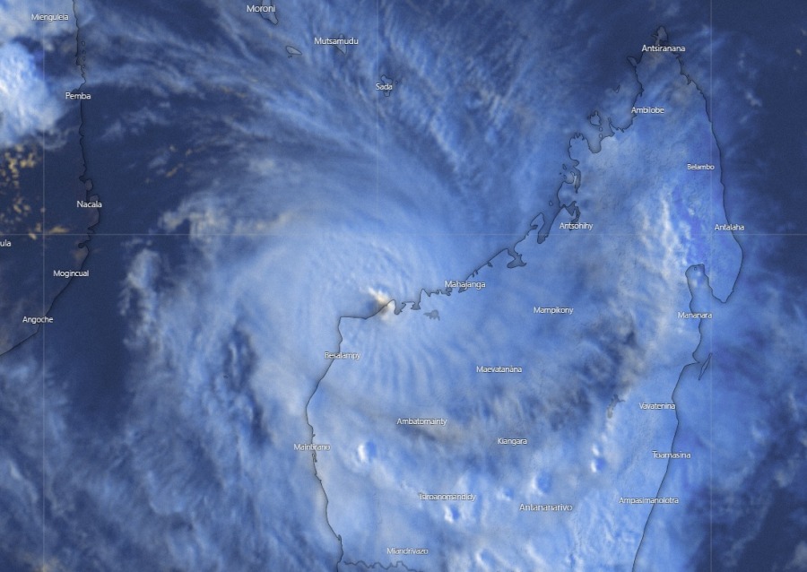
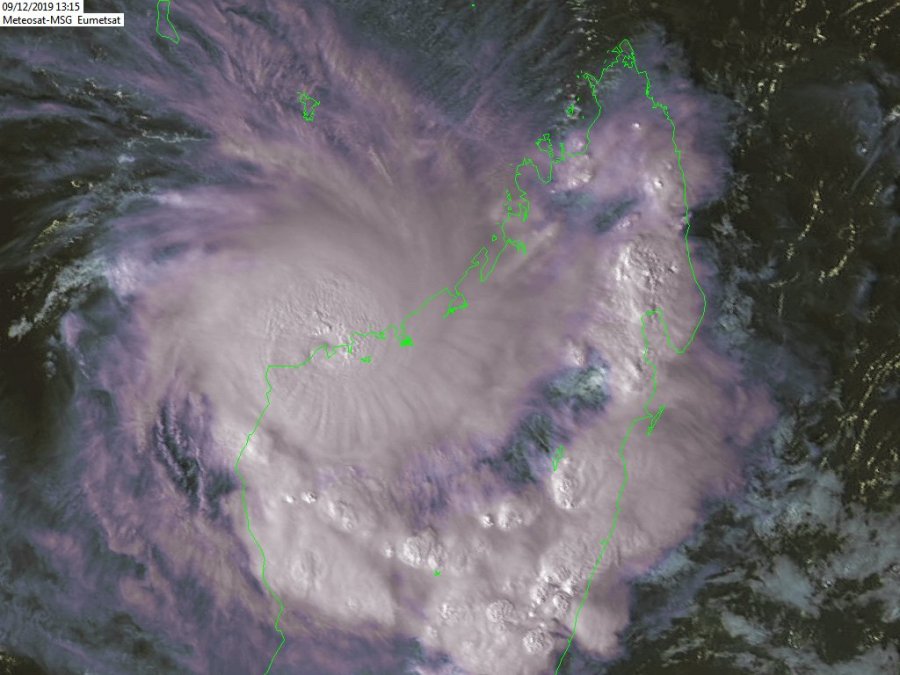
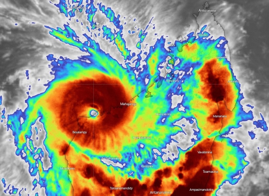
West Indian Ocean is yet again bringing some unexpected tropical behaviors. While Cyclone Belna was gradually weakening today, it rather unexpectedly exploded and intensify again in the final hours before landfall. Officially, Belna was packing maximum sustained winds of 80 knots / 90mph at 12 UTC today, Dec 9th, with a central pressure of around 978 mbar, just a few hours before the landfall.
Data and satellite observations in the final hours prior to landfall indicate that a significant strengthening occurred. At that time, Belna rode on the extremely warm sea surface temperature (near 29-30 °C) just north of the NW coast of Madagascar and convection exploded significantly! This allowed the cyclone to boost its intensify and smash the coastal areas even more intense than expected!
Here are impressive satellite images, indicating an explosive development of eyewall very close to the coast of NW Madagascar. Belna made a final rapid intensification and likely result in an even more significant impact on the coastal areas with major storm surge, hurricane-force winds and torrential rainfall.
Tropical Cyclone #Belna satellite view via @zoom_earth #CycloneBelna pic.twitter.com/4pvApfpCf6
— Zoom Earth (@zoom_earth) December 9, 2019
https://twitter.com/HurricaneRiley5/status/1204049586979004417
Le cyclone #Belna a touché terre à #Madagascar en cat1.
D'importantes inondations sont attendues.
Le dernier cyclone à avoir affecté le nord ouest de Madagascar est Helen en 2014 pic.twitter.com/VL6p4jZfva— Sophie Colombani (@AS_Colombani) December 9, 2019
#Belna is making landfall now, slowly and gradually as a CAT 1 Cyclone in Northwest #Madagascar pic.twitter.com/LWc2intVSQ
— Chennai Weather Updates (@chennai_updates) December 9, 2019
First reports of severe damage due to storm surge in the town of Soalala, very near the expected landfall:
Le cyclone #Belna fait des premiers dégâts dans le Nord Ouest de #Madagascar https://t.co/5Z0fy2FU0S pic.twitter.com/pns13ZrNU2
— Tiana Hantsaniaina (@hantsaniaina) December 9, 2019
https://www.facebook.com/watch/?v=457708041605137
See previous discussion:
Interested in our calendar? We are proud to present and promote the best weather photographers in Europe – see details:


