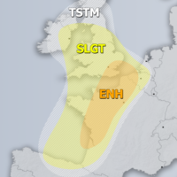
Outlook DAY 1 (valid: 24/06/2019)
Severe Weather Outlooks FAQ SYNOPSIS The ridge is strengthening over much of Europe with two features of interest for convective activity. A large upper low …
Severe Weather Outlooks FAQ SYNOPSIS The ridge is strengthening over much of Europe with two features of interest for convective activity. A large upper low …

It is now abundantly clear that this was likely the most widespread outbreak of noctilucent clouds ever observed over Europe. Noctilucent clouds were reported from …
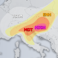
Severe Weather Outlooks FAQ +++ A severe weather outbreak appears likely across parts of the northern Balkan peninsula – intense supercells with very large to …

“One of the most epic sights in the sky I have ever seen!!” was tonight’s noctilucent cloud display called by Jure Atanackov of Ljubljana, Slovenia …

The latest model guidance by both GFS and ECMWF is in quite good agreement in the development of a very intense heat wave early next …

Severe Weather Outlooks FAQ SYNOPSIS Large long-wave trough persists across N Atlantic and W europe with two lows embedded, over over the Bay of Biscay …

Models are is a good agreement for the development of an intense heat wave across a large part of west-central Europe, starting on Monday next …
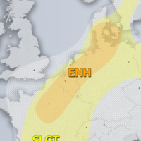
Severe Weather Outlooks FAQ SYNOPSIS Strong upper ridge remains over E-CNTRL Europe with a weakening upper low over the E Mediterranean. Deep trough is located …