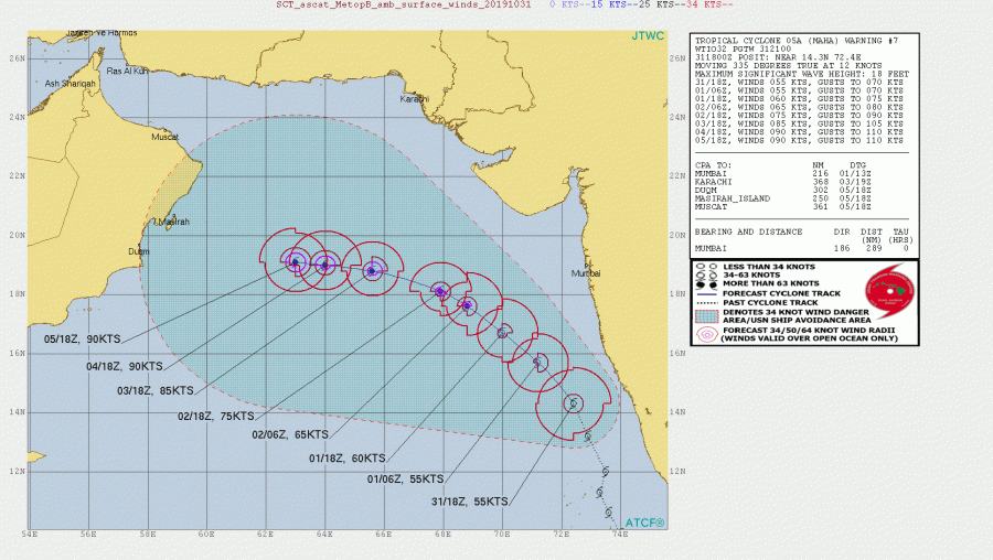
Arabian sea seems to become quite active lately as another cyclone has developed yesterday – Tropical Cyclone Maha. It is currently packing winds of 50 kt with central pressure around 996 mbar. Maha will gradually intensify into Category 2 in the coming days while traveling NW towards the Arabian peninsula.
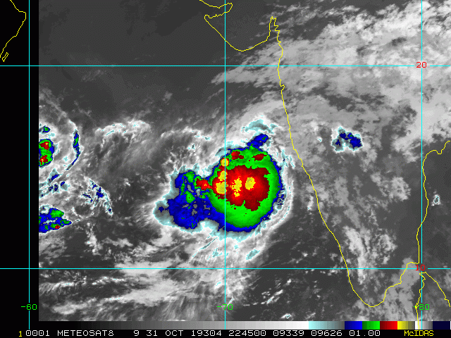
Some satellite imagery of Maha reveal deep convection within a large area of ongoing severe storms, gradually expanding in size and strengthening.
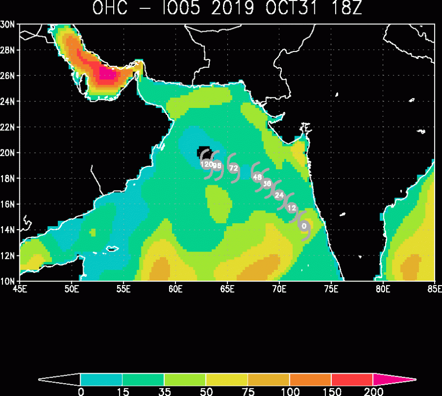
Ocean Heat Content map reveal the sea area where Maha is soon coming, went through a significant upwelling so conditions are less supportive for a strongly organized cyclone or major / severe strength of the cyclone. However, being placed in very low deep-layer shear, still warm sea waters should allow the cyclone to organize better with time.
The future track and intensity model guidance suggest it will gain strength while moving towards NW over the weekend into early next week and probably reach a Category 2 strength by Sunday with maximum sustained winds of around 80 kt / 90 mph.
We will continue monitoring Maha’s evolution through this weekend and will keep you updated – stay tuned!


