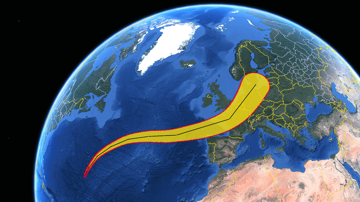
Ex-Hurricane Kirk: Potential Severe Impact for Western Europe this week
North Atlantic hurricane season 2024 is particularly busy with tropical systems this month, with multiple systems ongoing. One system caught our attention as it turned …
North Atlantic hurricane season 2024 is particularly busy with tropical systems this month, with multiple systems ongoing. One system caught our attention as it turned …
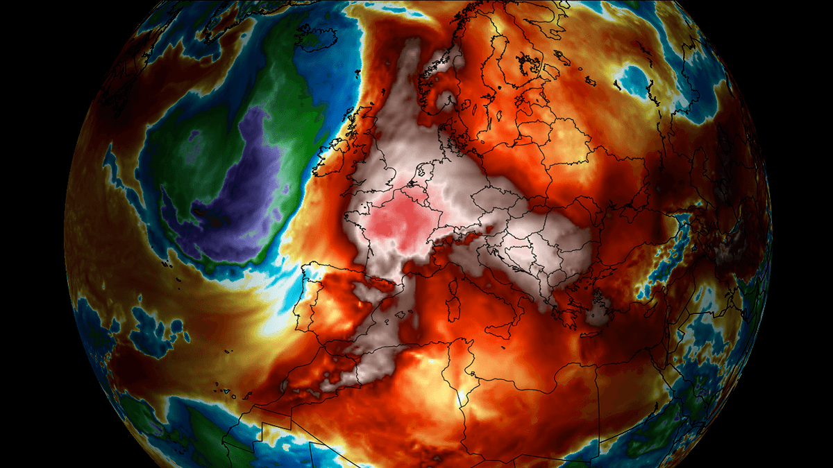
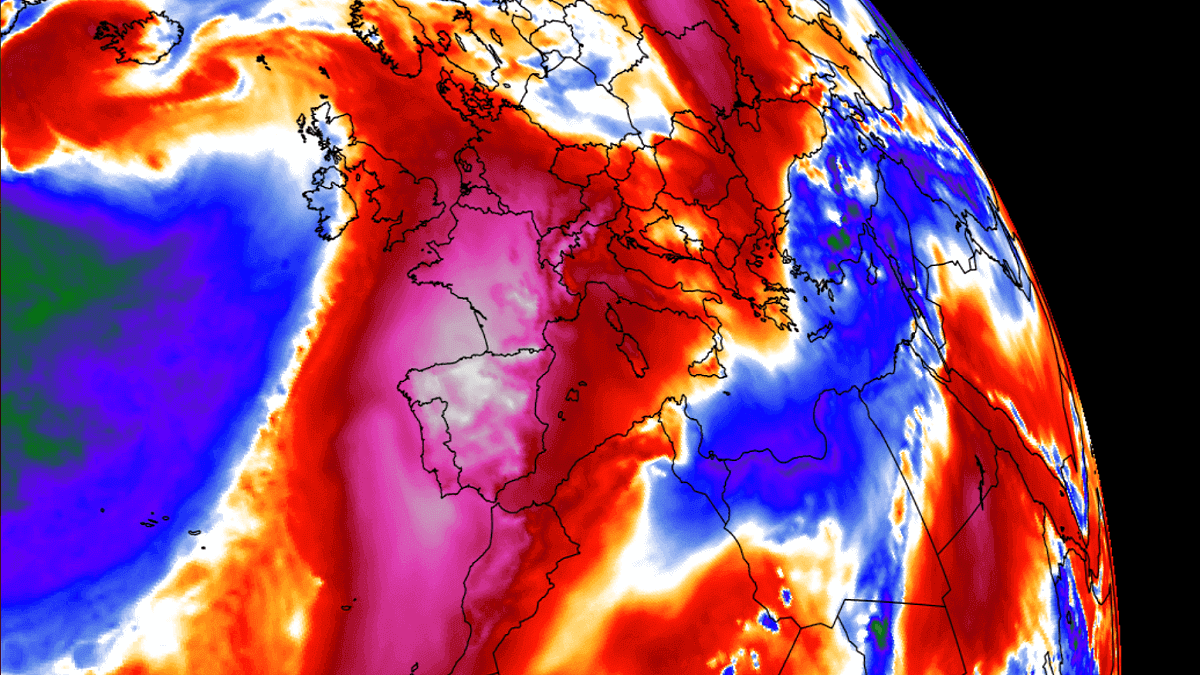
An extensive heat dome is dominating the southern half of Europe this month, and it’s nowhere near its end. Upcoming days will bring an intensifying …

While July continued with heatwaves across south and eastern Europe, the heat is finally spreading towards western Europe as well. Most of Western Europe will …
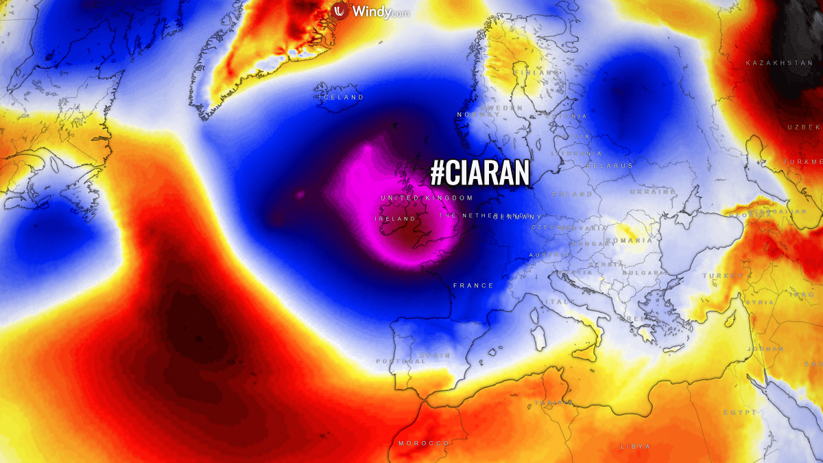
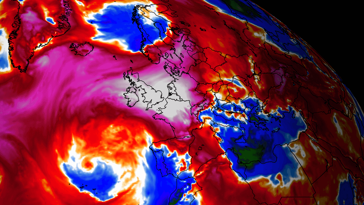
The following two weeks will develop at least two powerful Atlantic cyclones impacting Western Europe. A powerful storm Ciaran will bring violent winds, huge amounts …
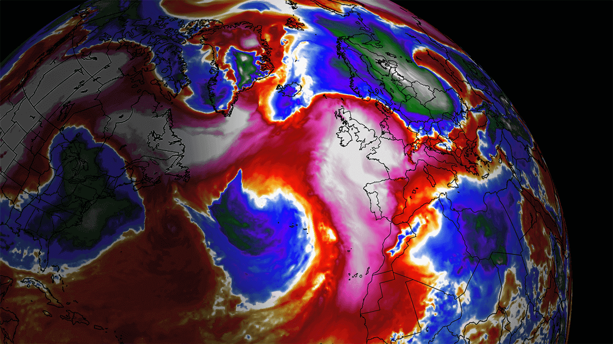
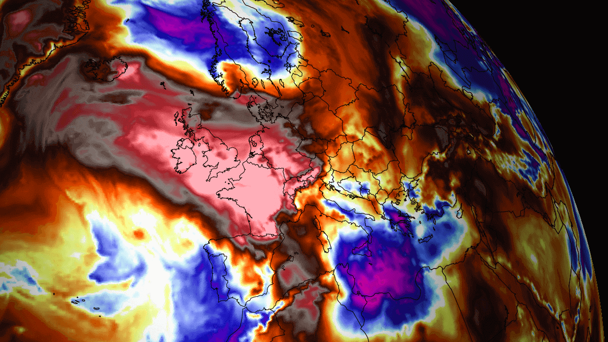
After a record-warm September across many parts of Europe, October doesn’t want to be left behind. An unprecedented start of the month has pushed numerous …
After the storm Agnes blasted over Ireland and the UK this week, much weather is forecast as we head into early October. A strong heat …
This is the latest update on the historic heatwave resulting from the major Heat Dome that engulfed Western Europe this week. On Monday, extreme temperatures …
The weather pattern flip in the final days of August brought a great refreshment for a large part of Europe. Believe it or not, yet …