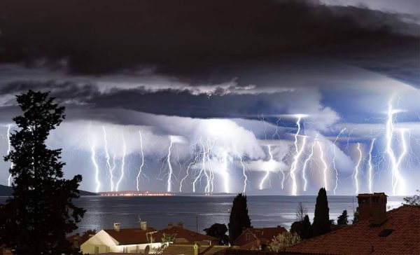
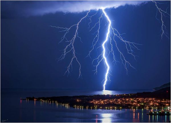
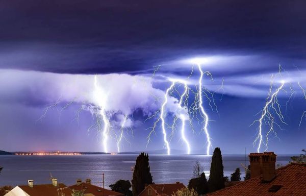
A large and complex cutoff cyclone formed over the northern & central Mediterranean after frontal passage on September 16. The system has been causing locally intense rainfall across Italy, western Slovenia and particularly northwestern Croatia (Istra peninsula and Kvarner). Flooding has been reported from many locations. Also, numerous waterspouts have been reported from the coasts of the Adriatic, Ligurian and Tyyrhenian seas over the past two days. Photographers also captured many impressive photos of lightning! Check out the gallery below!
Lightning barrage composite over Zadar, Croatia on September 18! Photo: Ivan Toman via Crometeo
Lightning over Zadar, W Croatia on September 17/18. Photo: Aleksandar Gospić Photography
Lightning barrage over the Adriatic sea near Zadar, W Croatia last September 17/18. Photo: Boris Kačan Photography
Lightning over Cres, NW Croatia on September 17/18. Photo: Sandro Puncet Photos
Lightning over Pula, Istra, NW Croatia on night of September 17/18, captured by Željko Vidinović / Crometeo.
More great lightning over Zadar, W Croatia on the night of September 17/18, captured by Ivan Toman / Crometeo.
Lightning over Lošinj, NW Croatia on September 16/17. Photo: Sandro Puncet Photos.
Spectacular very close CG lightning on Kamen, near Split, Croatia on September 18. Photo: Marijan Juričević via Crometeo.
Nearby CG lightning strike – note the upward streamers next to the bolt! Ligurian sea near Genoa, Italy on September 15, photo by Suarez Photo.
Sprites above the MCS over the N Adriatic on the night of September 17/18, captured by Martin Popek.
More spectacular lightning photos on Gallery page 2 >>>
Back to waterspouts over the central Mediterranean on September 16-19 on <<< page 1


