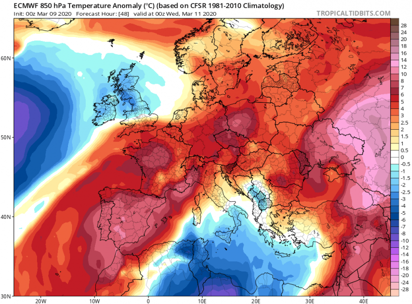
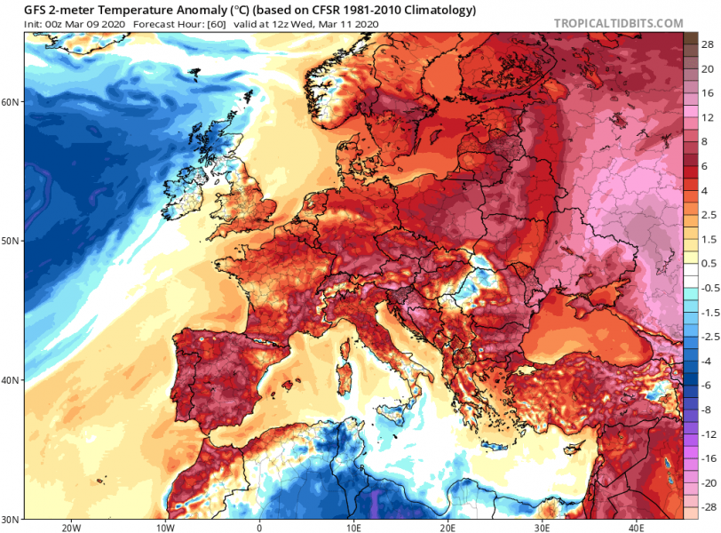
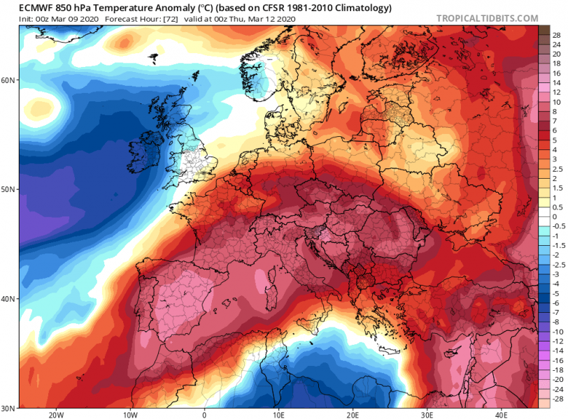
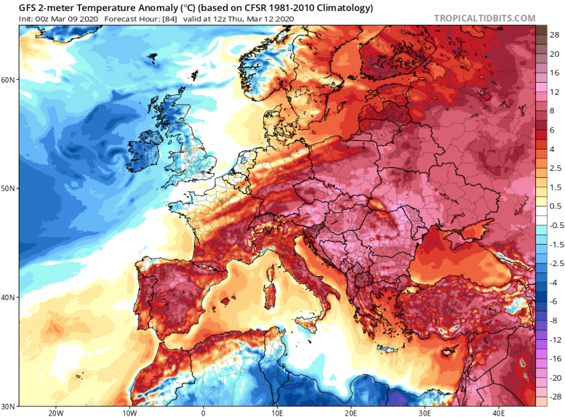
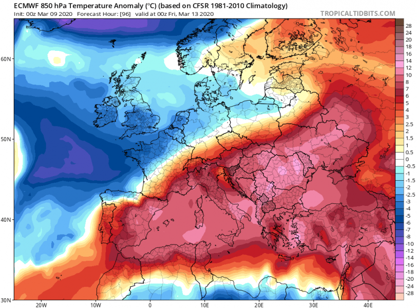
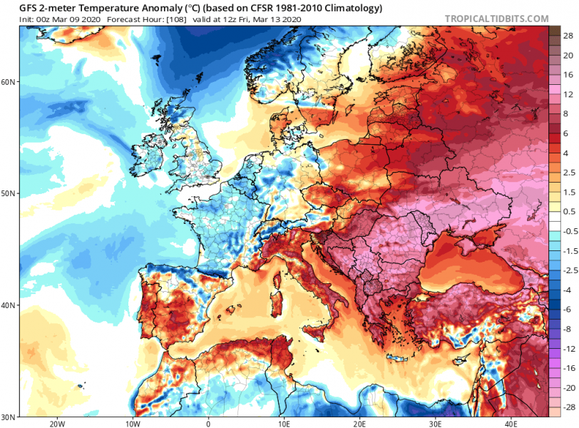
Stable weather will bring very warm days across the Mediterranean and the Balkan peninsula this week, temperatures are expected to surpass 20 °C in many areas. After the warmest meteorological winter on record, the warm weather continues. The vegetation is more than a month ahead of the long-term average, the trees blossoming has started in many areas. This is undoubtedly increasing the potential for severe frost if cold outbreaks return later this month!
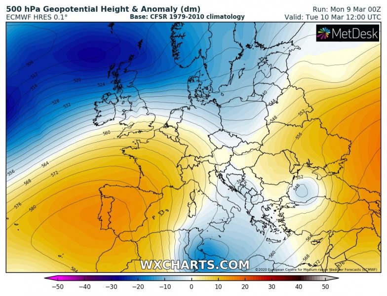
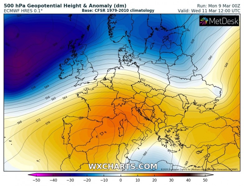
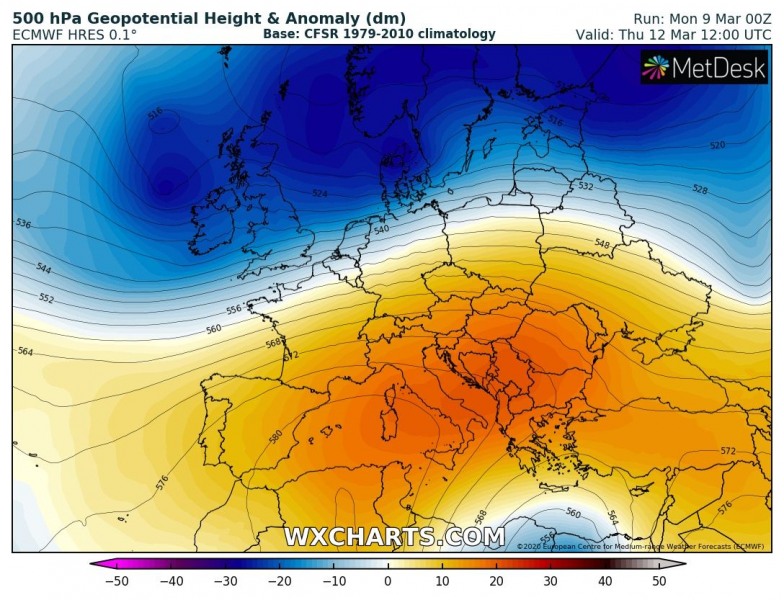
The upper-level ridge builds over southwest Europe first after Tuesday, then spreading across the Mediterranean into east-central Europe and the Balkans through mid-week and towards the weekend. Strong warm advection should overspread the large part of continental Europe while the warmth also intensifies with the subsidence in the upper ridge. At the surface, a high-pressure system establishes and results in stable and very warm weather.
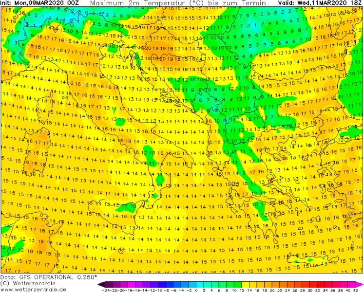
Wednesday, March 11th
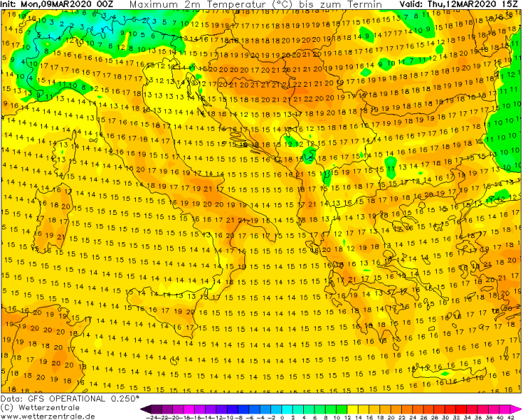
Thursday, March 12th
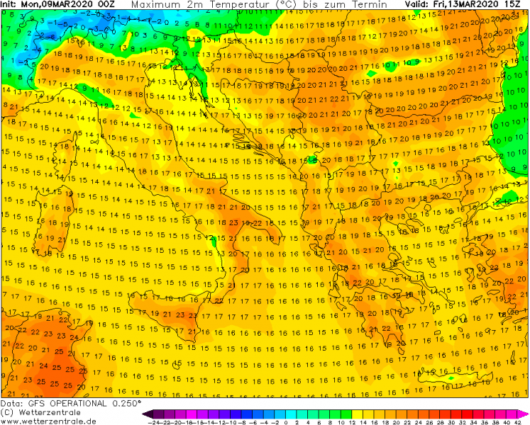
Friday, March 13th
Here are the maximum temperatures across the Mediterranean and Balkan peninsula from Wednesday through Friday – many areas should experience above 20 °C:
All this being said, the fruit trees are likely to begin blossoming in some areas. Increasing the concern for severe frost damage later this month when strong cold outbreaks are statistically still possible. We are covering all events, so stay tuned for updates.
