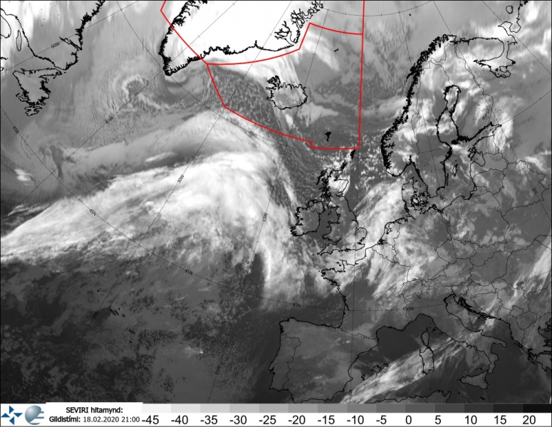
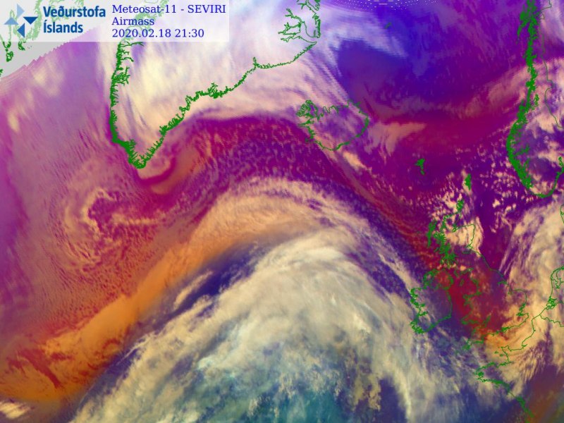
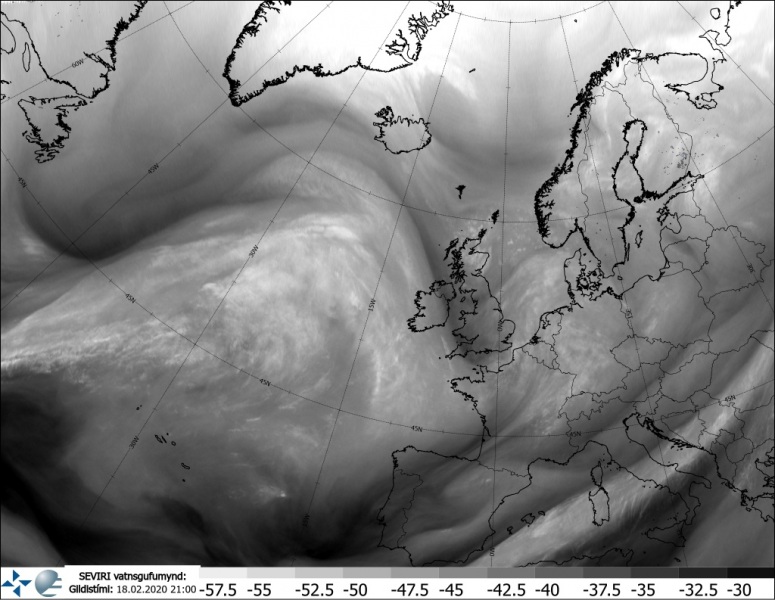
The new North Atlantic extra-tropical cyclone is rapidly organizing tonight, as confirmed by both surface analysis and satellite imagery. As more or less expected, the intensification rate has become quite significant this afternoon and the cyclone is now deepening of around 10-12 mbar per 6 hours. The system is emerging in the bombogenesis phase. All models suggest it will continue with rapid intensification until tomorrow evening when it approaches Iceland. Hurricane-force winds are expected across the southern parts of the island, and also south of the cyclone’s center.
Note: The explosive cyclogenesis/bombogenesis (bomb cyclone) occurs if the central pressure decreases by 24 mbar (hPa) or more in 24 hours period.
*********************************************
*********************************************
Here are the minimum pressure estimates (by NOAA OPC forecasters) in the center since cyclone’s birth yesterday, the pressure was analyzed at 984 mbar at 18 UTC today, Tuesday, Feb 18th – this means the pressure drop during the last 24 hours was 30 mbar, which is already beyond the threshold for a ‘bomb cyclone’ classification (24 mbar per 24 hours).
- 984 mbar at 18 UTC, Feb 18th
- 995 mbar at 12 UTC, Feb 18th
- 1006 mbar at 06 UTC, Feb 18th
- 1012 mbar at 00 UTC, Feb 18th
- 1014 mbar at 18 UTC, Feb 17th
- 1019 mbar at 12 UTC, Feb 17th
Cyclone will continue northeast overnight and tomorrow, likely deepening near mid 940s in the evening hours – so for another 35-40 mbar in the coming 24 hours!
This evening satellite imagery reveals the explosive development of the system with a broad warm sector visible to the south of the forming center. It is quite likely we will be seeing a pretty spectacular cyclonic satellite appearance tomorrow, similar to what we have seen in the past weeks.
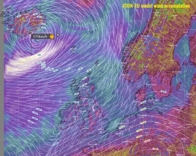
Here is the latest ICON-EU wind gusts accumulation map, indicating there will be a broad channel of severe winds pushed across the North Atlantic, but also into western and northwestern Europe. Between Iceland and Faroes (to the immediate south of the center low), a violent wind maximum is expected. Peak gusts could exceed 170 km/h (= 105 mph) there!
We will continue monitoring the cyclone’s evolution and will keep you updated – stay tuned!
Please refer to the primary forecast discussion regarding cyclone’s track:


