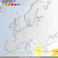
Outlook day 1 (valid: 10/03/2017)
VALID FOR 10-03-2017 A high pressure system / upper ridge dominates Europe while a deep trough is placed over N Atlantic, a cyclone affects SW …
VALID FOR 10-03-2017 A high pressure system / upper ridge dominates Europe while a deep trough is placed over N Atlantic, a cyclone affects SW …
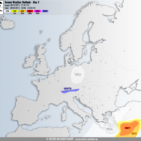
VALID FOR 09-03-2017 An upper ridge is established across WSW Europe and Russia. Troughing is ongoing across N Europe and a gradually decaying upper low …
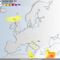
VALID FOR 08-03-2017 A large and very cold upper low will be the focus for today’s severe weather activity, centered over southern Mediterranean. A strenghtening …

A powerful windstorm has developed in response to a rapidly deepening cyclone ejecting from the British Isles towards N France this morning. An intense sting …
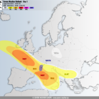
VALID FOR 06-03-2017 A large trough/low affecting much of Europe while ridge has established over Scandinavia and W of Iberia. A secondary low travels from …
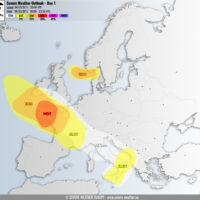
VALID FOR 05-03-2017 A high pressure system over the Balkan peninsula gradually weakens and moves towards SW Russia while another high pressure system strenghtens over …
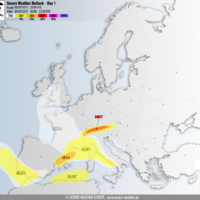
VALID FOR 04-03-2017 A deep trough over WSW Europe continues east into central Europe and northern Mediterranean, pushing a frontal system towards Italy. A high …
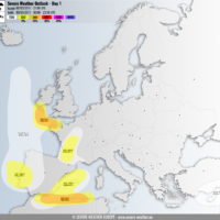
VALID FOR 03-03-2017 A large trough continues east across eastern Europe with a weakening upper low ejecting from SE Mediterranean into Middle East. A new …