Interesting activity is ongoing across the Atlantic today. An ex-hurricane Michael which brought a devastating landfall in Florida Panhandle this week, has ejected into the Atlantic on Thursday and then gradually dissipate over open waters. Today these remnants are re-organizing again and a strong extra-tropical storm is forming. It is headed towards SW Europe late Sunday, however, it is expected to weaken before bringing any serious severe threat. It enters the Bay of Biscay region overnight to Monday.
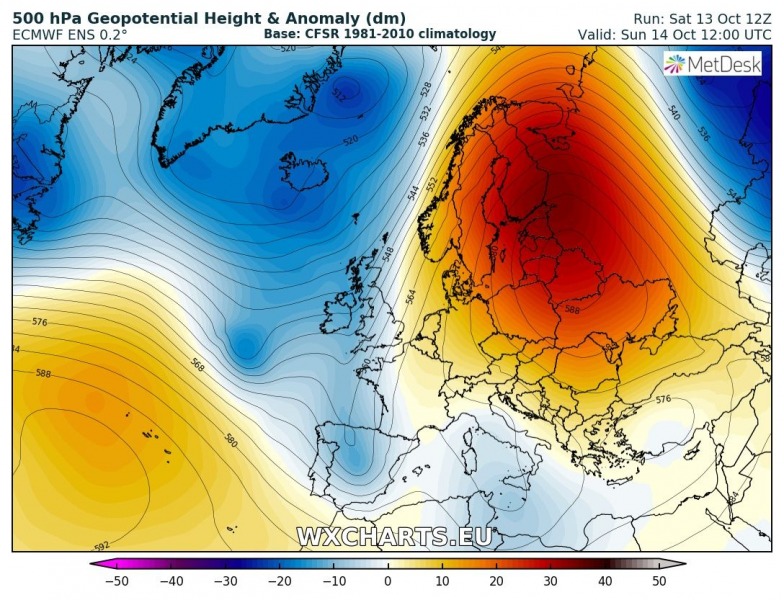
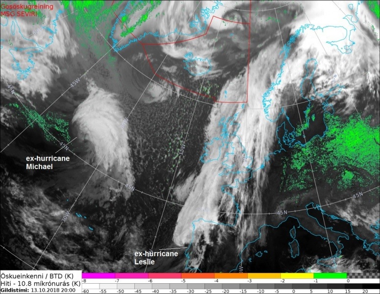
The general pattern across Europe reveals a persisting strong upper ridge across east and north Europe while a large long-wave trough covers the north Atlantic and western Europe. Two short-wave troughs are visible, one is the re-organizing ex-hurricane Michael SW of Ireland while another wave is moving across the Iberian peninsula – those are remnants of ex-hurricane Leslie which is making landfall in Portugal tonight.
Evening satellite imagery reveals the ex-huricane Leslie nearing Portugal and rapid cyclogenesis ongoing in the N Atlantic – those are the remnants of ex-hurricane Michael organizing in the favorable environment within the large long-wave trough.
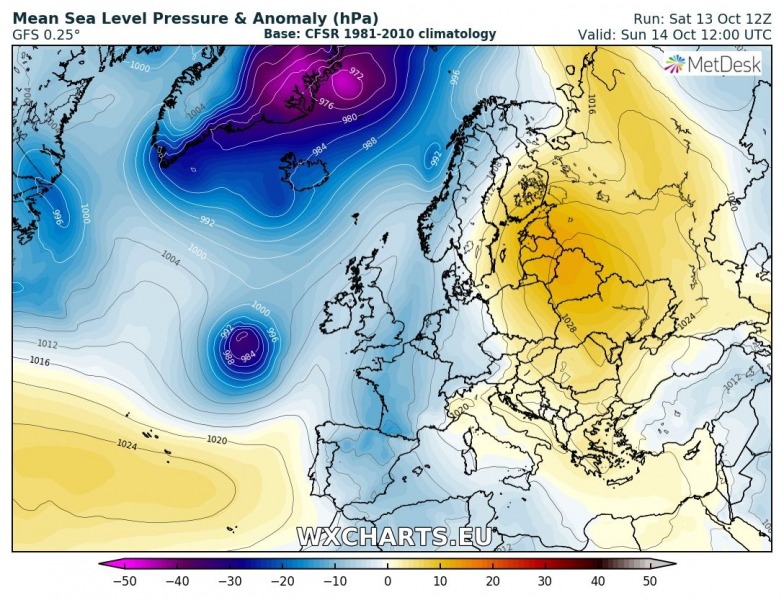
Here is a sequence of the deep cyclone rapidly moving across the N Atlantic. It is expected to weaken once it approaches the Bay of Biscay on Monday morning. The long-wave trough has pushed a lot of cold advection into the region which will not allow the new cyclone to maintain its strength by the time its remnants approach NW Spain on Monday.
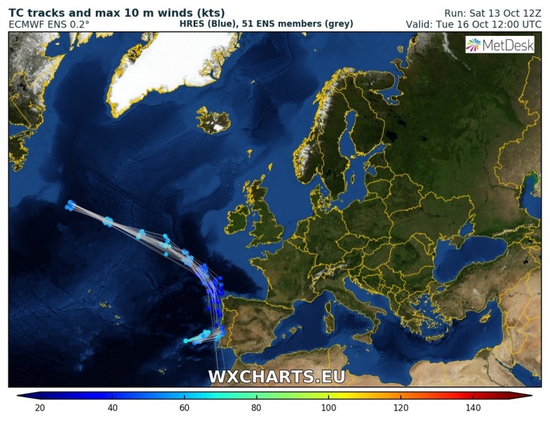
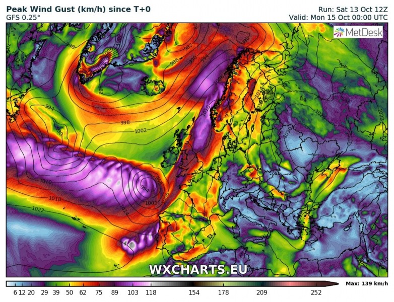
GFS model peak wind gusts swath across the Atlantic, the reorganized ex-hurricane Michael’s wind field swath is clearly visible towards the Bay of Biscay where the cyclone is expected to dissipate on Sunday evening.
Stay tuned for further updates if more robust environment would develop tomorrow.
