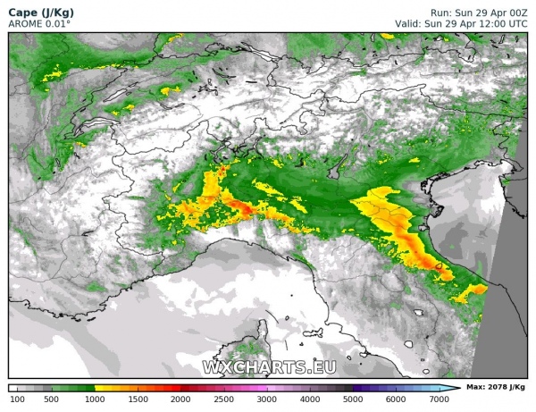
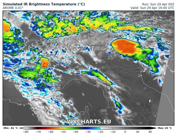
North Italy is looking at some potentially severe thunderstorms today. Quite impressive instability builds up across the Po plain, with locally up to 1500-2000 J/kg MLCAPE. A moderate ~20-30 kt southerly mid level jet overlaps with 10-15 kt easterly surface winds, producing a moderately sheared environment, supportive mainly for multicell storms with possible isolated supercells as well.
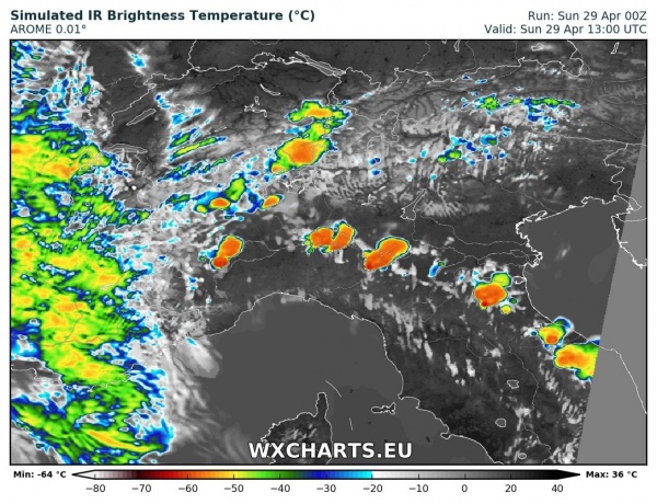
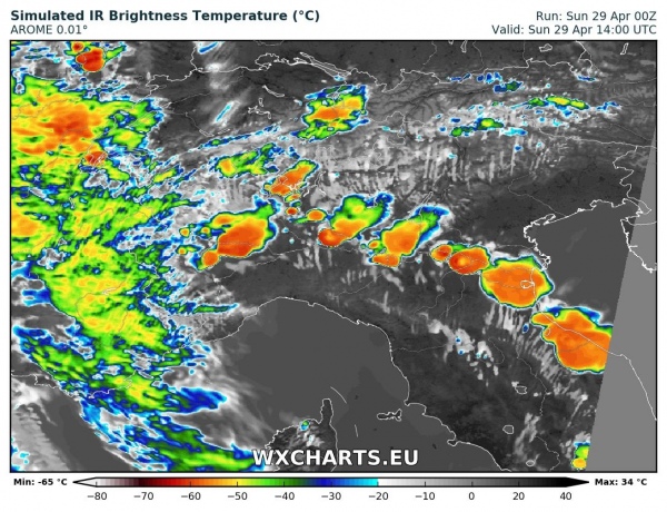
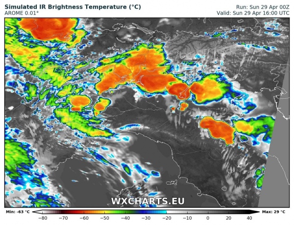
Models are very uncertain about the extent of storm initiation, with some models indicating virtually no initiation. However, at least some isolated storms may initiate along the northern Apennine flank in the mid-afternoon, breaking the moderate cap. Any storm that does form will be able to take advantage of the moderate instability and shear: marginally large to large hail, torrential rainfall and strong winds are possible.
Strong upslope flow along the southern Alpine flank will provide a much more robust and consistent initiation mechanism, so confidence for storms initiation there is much better. Expect storms in northern Piemonte and Lombardy as well as extreme northwestern Veneto. The main threats in the area, extending into southernmost Switzerland will be torrential rainfall: 40-60 mm / 24h is likely locally. Also, marginally large to large hail is possible with stronger storms.
