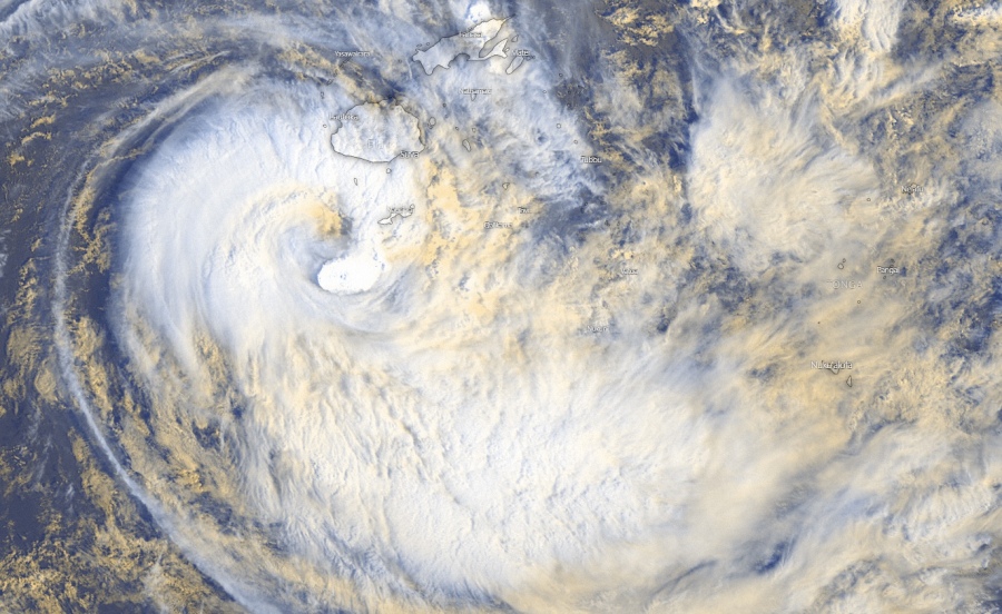
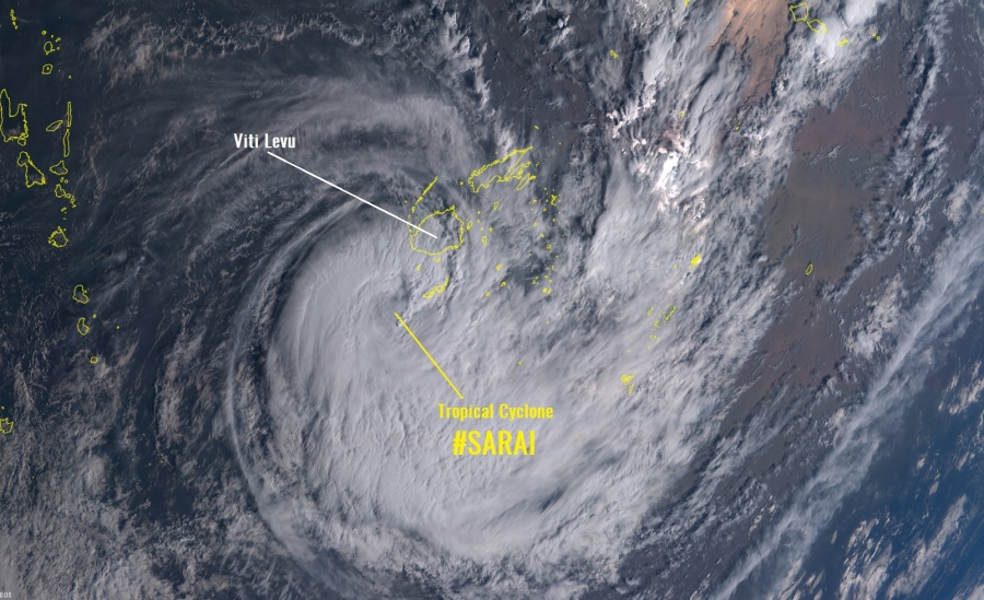
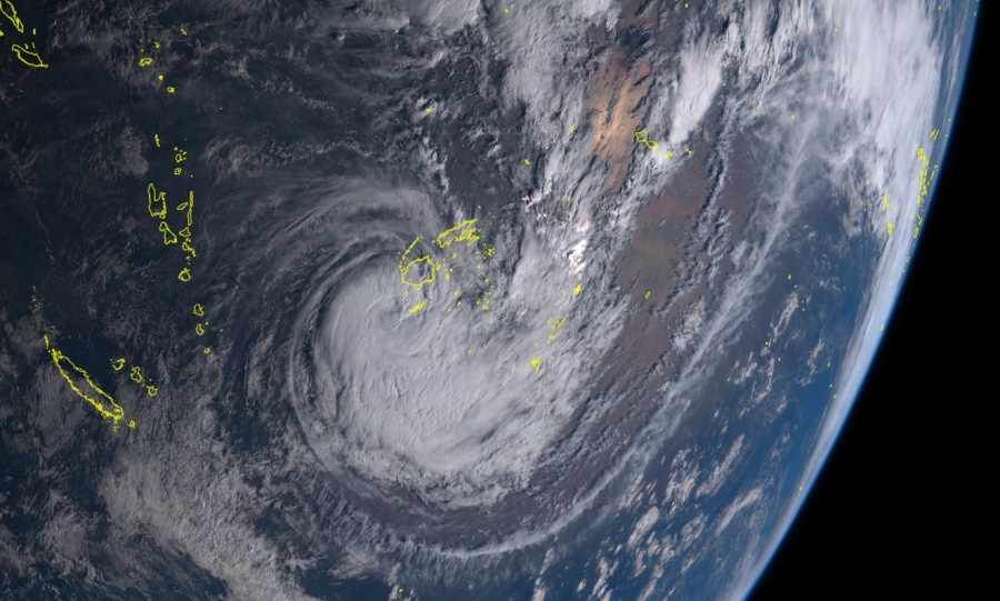
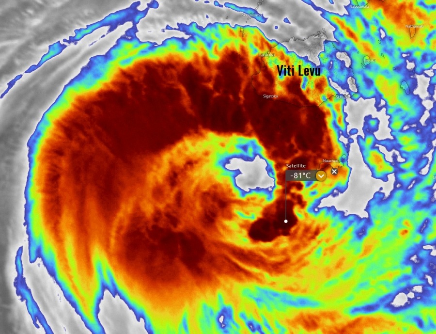
Daylight has arrived over the Tropical cyclone #Sarai which is continuing to improve – a clearing eye with explosive deep convection is now wrapping around the eye. Poleward upper-level outflow ventilation is contributing to its evolution, allowing it to continue intensifying. Sarai is definitely gaining additional strength this morning. The Sarai’s center is staying well offshore of the main island Viti Levu, but its big wind radii extend quite far from the exact center. It is undoubtedly severely impacting the Kadavu island, located just to the northeast of the eye and under the explosive easterly eyewall.
*********************************************
*********************************************
Some exceptionally impressive satellite imagery is coming out, notice the explosive eyewall wrapping around the clearing eye across the NE and SE quadrants of the cyclone! Cloud tops are being pushed below -80 °C!
Tropical #Cyclone #Sarai is indicating some significant strengthening this morning local time, explosive deep convection is wrapping around the center and a large eye is appearing on the satellite imagery. Could boost its intensity in the coming hours! image: NOAA pic.twitter.com/d0uf7PuDAd
— severe-weather.EU (@severeweatherEU) December 27, 2019
Tropical cyclone #Sarai is continuing to improve, a clearing eye with deep convection attempting to wrap around it. Poleward outflow is contributing to its evolution allowing it to breathe. Sarai is definitely taking advantage of its marginally favorable conditions. pic.twitter.com/OXAW3Wi0ZJ
— Jamai Woodberry (@woodberrywx) December 27, 2019
Cyclone’s future direction remains on track with the previous discussion, it will gradually turn east in the next 24 hours and tavel across the southern part of Fij archipelago.
#Tropical #Pacific_Southwest #Fiji #Sarai. MIMIC animation to 27/2000UTC. pic.twitter.com/W7XPtg0l2q
— Mike Trigger (@T2mike) December 27, 2019
Stay alert for dangerous weather conditions.
See also – prevous discussions:
Interested in our calendar? We are proud to present and promote the best weather photographers in Europe – see details:


