Skip to content

Severe Weather Europe

Global Weather News and Forecasts, covering the United States, Canada and Europe

  • HOME
  • WEATHER ANALYSIS
    • RECENT EVENTS
    • LATEST NEWS
    • Satellite Live
    • Radar Live
    • Lightning Live
    • EVENT ANALYSIS
    • Notable Events
  • WEATHER FORECAST
    • SWE weather models
    • SEVERE WEATHER FORECAST
      • Severe Weather Outlooks FAQ
    • SEVERE WEATHER OUTLOOK ARCHIVE
    • GLOBAL WEATHER
    • LONG RANGE
    • WINTER WEATHER
    • Europe Weather
    • TROPICAL WEATHER
    • MESOSCALE DISCUSSION
  • LEARN WEATHER
  • ABOUT & CONTACT
    • ABOUT US
    • Privacy Policy
    • CONTACT US

jet stream

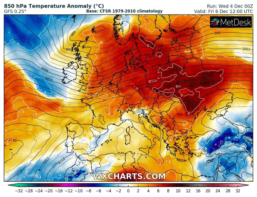
Cold outbreak across east-central Europe is washing out, replaced by warmer airmass across much of European continent again
December 4, 2019 by Marko Korosec

Patterns across Europe are flipping once again. While a large part of our continent was experiencing at least some cold weather and locally snow lately, … Read more
Categories Mesoscale Discussion Archives Tags arctic, cold pool, jet stream, scandinavia, warm advection, zonal flow

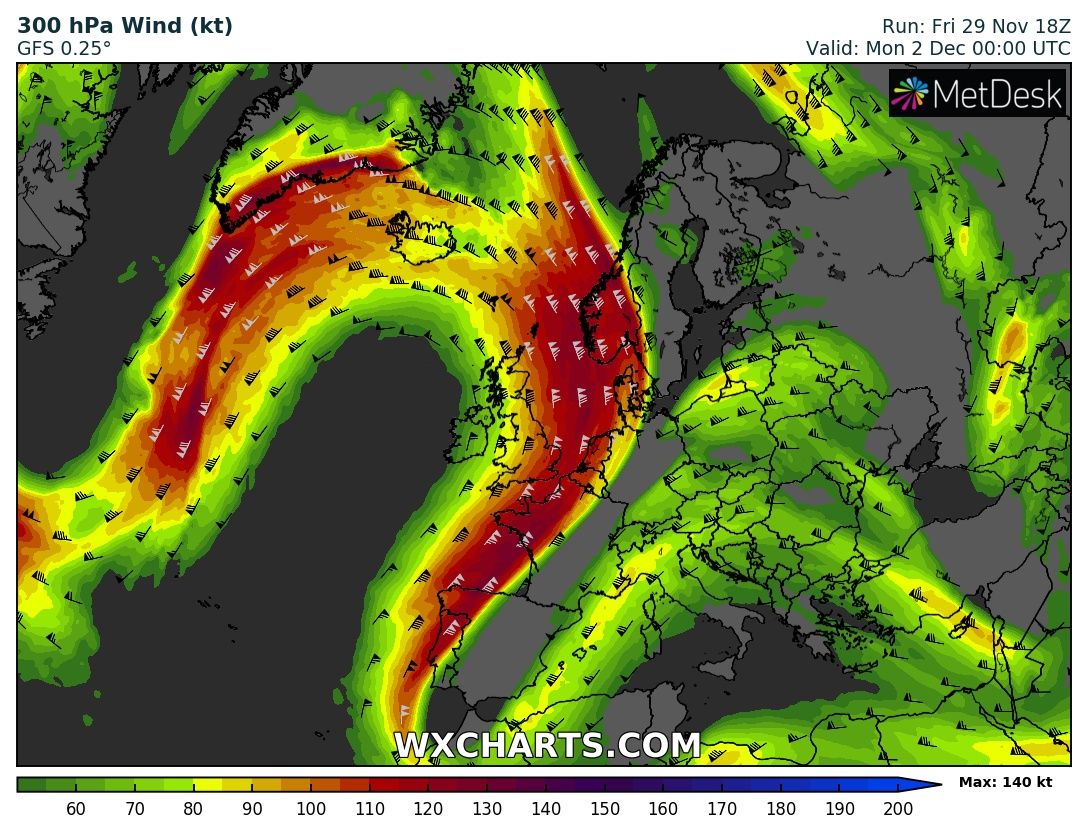
An extreme warmth develops across the North Atlantic, Greenland and Iceland this weekend

November 29, 2019 by Marko Korosec

The pattern flip this week leads into some extreme anomalies in some parts of Europe and North Atlantic through early December. While a cold outbreak … Read more

Categories Mesoscale Discussion Archives Tags canada, extreme warmth, greenland, heat wave, Iceland, jet stream, labrador sea, newfoundland, north atlantic, warm advection

Extreme amount of rainfall (locally 300-400 mm) is expected across the western Alps through the next 3 days, Oct 19-21st

October 19, 2019 by Marko Korosec

The first serious autumn pattern is establishing over the Alps this weekend as major rainfall event is expected. Locally, more than 300-400 mm seems increasingly … Read more

Categories Mesoscale Discussion Archives Tags alps, autumn, extreme rainfall, flooding, france, jet stream, pattern, Switzerland, ticino

Spectacular Lee wave clouds across the Adriatic sea on Monday, Feb 25th

February 26, 2019February 25, 2019 by Marko Korosec

Between the powerful west European upper ridge and an upper low over southeast Europe, a strong northeasterly jet stream has formed. Its flow in the … Read more

Categories Recent events Tags adriatic sea, croatia, dinaric mountains, jet stream, lee waves, Velebit

Powerful cyclone across the Bay of Biscay tomorrow, March 24, 2018

March 23, 2018March 23, 2018 by Marko Korosec

Models are in good agreement in a developing powerful windstorm (widely dubbed Hugo) today. It will be crossing the Bay of Biscay from the northwest … Read more

Categories Mesoscale Discussion Archives Tags bay og biscay, cyclone, dust, france, iberia, jet stream, saharan dust, spain, trough, windstorm
Newer posts
← Previous Page1 … Page3 Page4
Live radar, satellite and lightning maps SWE weather models Learn Weather

Recent Posts

  • Winter 2026/2027 Snowfall Forecast: How October Data Changed Your Region’s Outlook
  • Can October Snow Predict Your Winter? I Tested a Famous Forecast Signal Across 47 Winters
  • Winter 2026/2027 Forecast: New October Data Shows a Colder, Snowier U.S. Shift
RSS Feed
© 2026 Severe Weather Europe • Built with GeneratePress