SYNOPSIS
A deep upper low remains over N Scandinavia while upper ridges dominate WSW and ESE Europe, expanding also into central Europe. A weakening upper low remains over the Mediterranean and SW Balkan peninsula.
DISCUSSION
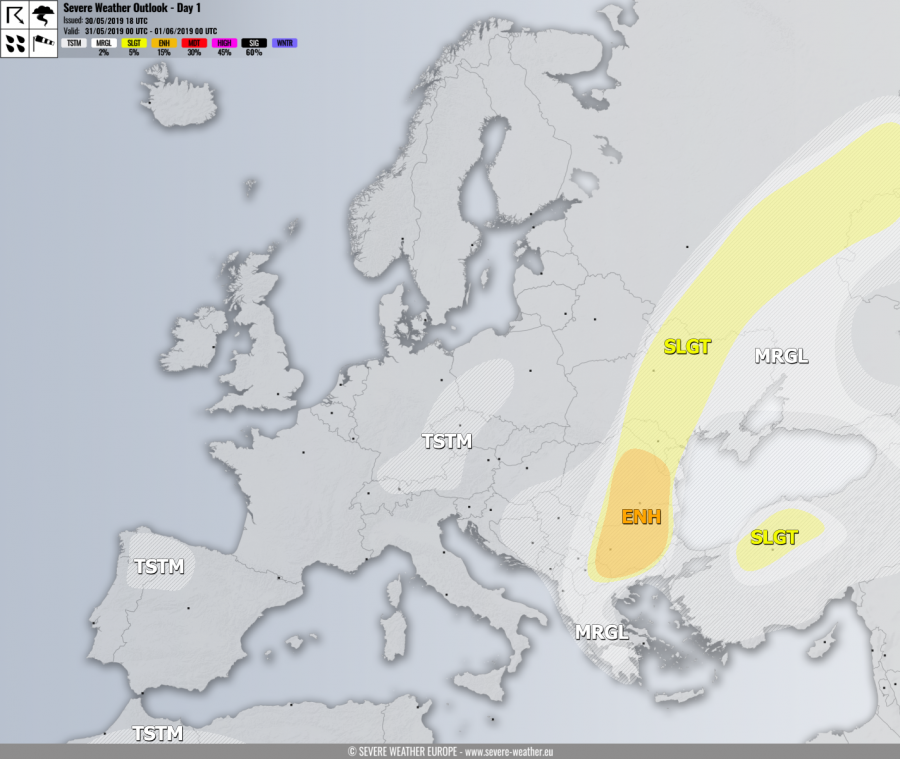
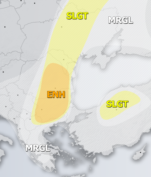
ENH risk has been issued for E North Macedonia, NE Greece, Bulgaria and Romania with threat for severe storms, capable of producing torrential / excessive rainfall, large hail and severe winds. Widespread activity is expected under strong instability and weakly to moderate shear, resulting in organized slow moving storms with flash floods and large hail threat, also with accumulation.
SLGT risk has been issued for areas surrounding the ENH risk across S Balkan peninsula including central Ukraine into W Russia with more isolated threat for severe storms, capable of producing torrential rainfall, severe winds and large hail.
SLGT risk has been issued for N Turkey with isolated threat for severe storms, capable of producing torrential rainfall, severe winds and large hail.
MRGL risk has been issued for areas surrounding the ENH / SLGT risks including E Albania, North Macedonia, Greece, Ukraine and Georgia with threat for isolated severe storms, capable of producing severe winds, torrential rainfall and marginally large hail.
TSTM risk areas have been placed where convective storms are likely to occur but should remain sub-severe.

