SYNOPSIS
A weakening large upper trough / low is located over the N Atlantic and W Europe while upper ridge persists over E-CNTRL and N Europe. A deep low moves across the Azores. A shallow upper low remains over the E Mediterranean.
DISCUSSION
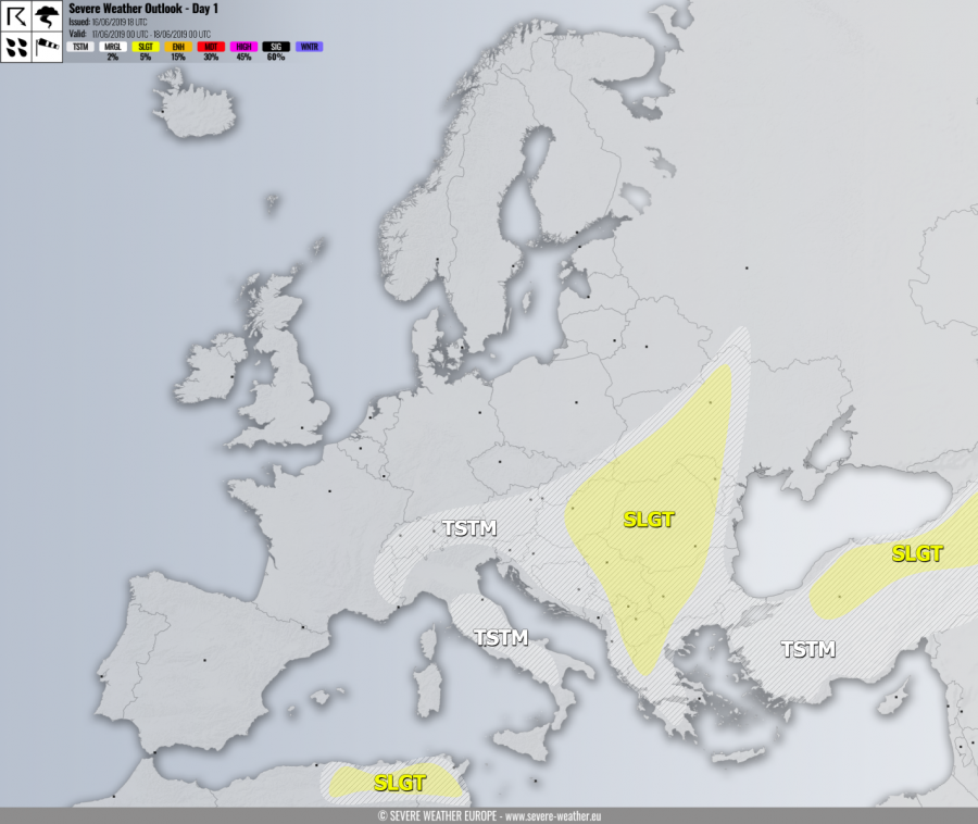
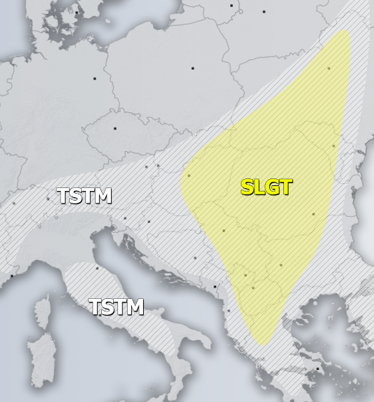
SLGT risk has been issued for large part of Balkan peninsula with threat for severe storms, capable of producing severe winds, torrential rainfall and marginally large hail. Rather widespread convective activity is expected under moderately unstable but weakly sheared environment. Slow moving storms could locally produce hail accumulation and flash floods.
SLGT risk has been issued for NNE Turkey with threat for severe storms, capable of producing severe winds, torrential rainfall and large hail.
SLGT risk has been issued for NE Algeria into N Tunisia with threat for severe storms, capable of producing severe winds, torrential rainfall and large hail.
TSTM risk areas have been placed where convective storms are likely to occur but should remain sub-severe.

