SYNOPSIS
Strong ridge persists across E-CNTRL and N Europe while upper low over E Mediterranean finally weakens. A large trough over the N Atlantic and WSW Europe has two deep lows embedded, one N of UK and another one over the Bay of Biscay. This southern low pushes towards France, together with a surface frontal system. A diffuse front remains over the northern Balkan and E Europe.
DISCUSSION
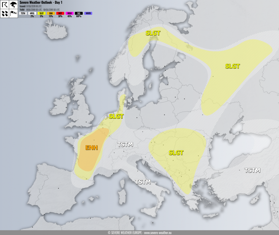
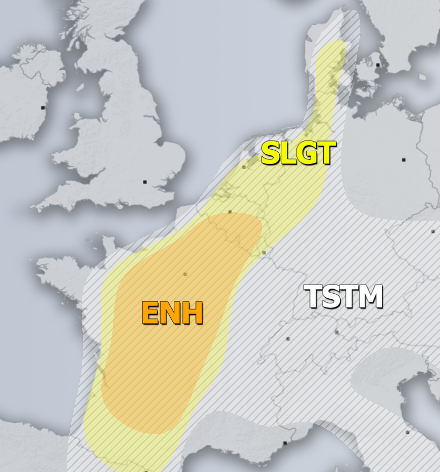
ENH / SLGT risks have been issued for France, Benelux into NW Germany and Denmark with threat for severe storms, capable of producing severe winds, torrential rainfall and large to very hail. A healthy moisture recovery takes place and results in moderately strong instability which overlaps well with the strengthening winds / shear associated with the coming low from the west. Organized severe storms are expected, including supercells with locally very large hail possible.
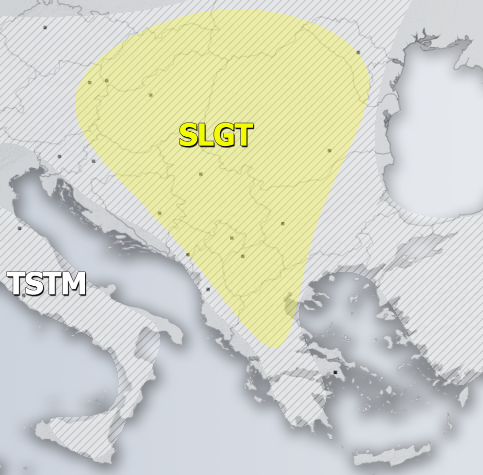
SLGT risk has been issued for large part of Balkan peninsula with threat for severe storms, capable of producing severe winds, torrential rainfall and marginally large hail. Rather widespread convective activity is expected under moderately strong but weakly sheared environment. Slow moving storms could locally produce hail accumulation and flash floods.
SLGT risk has been issued for NE Ukraine into NW Russia and towards central Finland and Sweden with isolated threat for severe storms, capable of producing severe winds, torrential rainfall and large hail.
TSTM risk areas have been placed where convective storms are likely to occur but should remain sub-severe.


