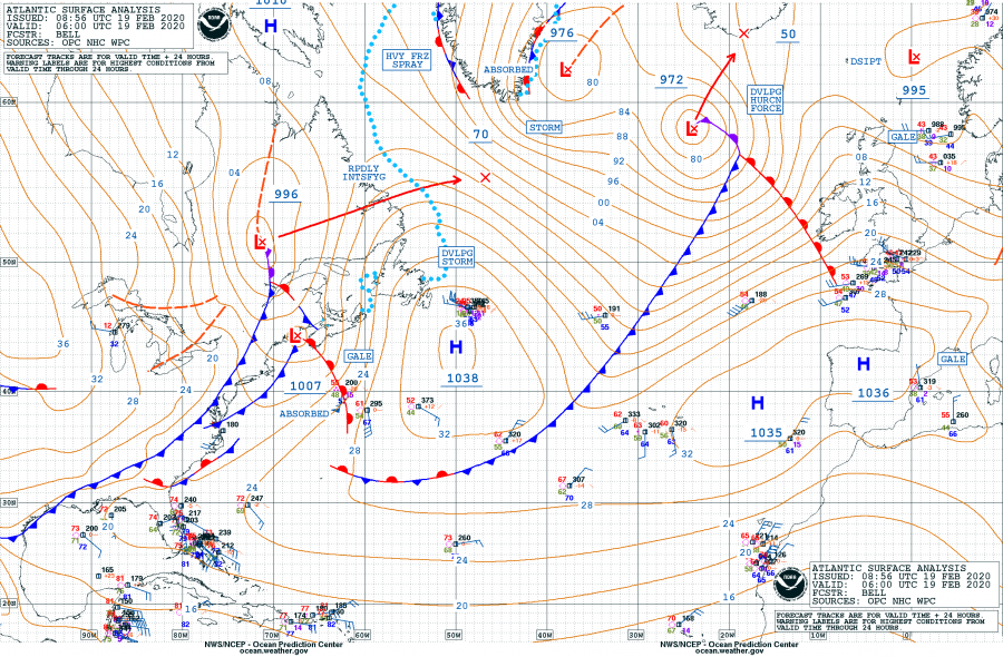
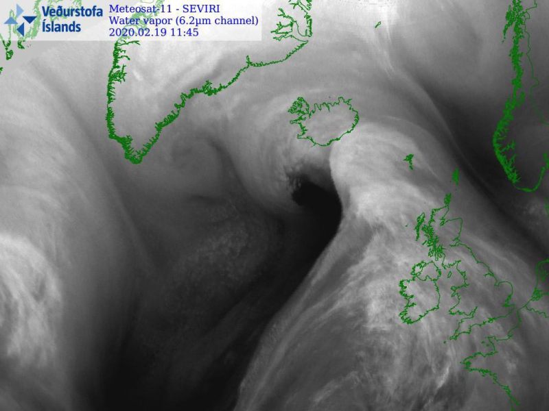
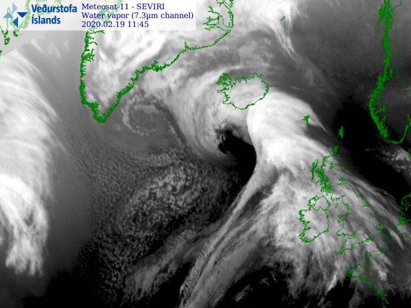
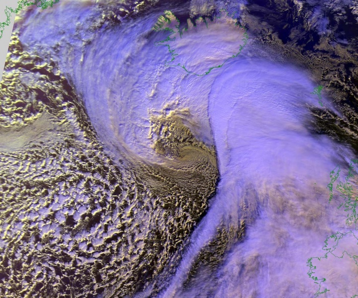
Here is a quick update – the explosive cyclogenesis is underway over the North Atlantic. A rapidly developing extra-tropical cyclone is looking more impressive on the satellite, gradually developing hurricane-force winds around its core. With the pressure drop of around 35 mbar during the past 24 hours, the system is classified as a ‘bomb cyclone’. Its future impact remains on track with the previous discussion, it will push violent windstorm between Iceland and Faroes, but also severe to extremely severe winds over broader area.
*********************************************
*********************************************
Here are the minimum pressure estimates (by NOAA OPC forecasters) in the center since cyclone’s birth on Feb 17th; the pressure was analyzed at 972 mbar at 06 UTC today, Wednesday, Feb 19th – this means the pressure drop during the last 24 hours was 34 mbar, well beyond the threshold for a ‘bomb cyclone’ classification.
- 972 mbar at 06 UTC, Feb 19th
- 981 mbar at 00 UTC, Feb 19th
- 984 mbar at 18 UTC, Feb 18th
- 995 mbar at 12 UTC, Feb 18th
- 1006 mbar at 06 UTC, Feb 18th
- 1012 mbar at 00 UTC, Feb 18th
- 1014 mbar at 18 UTC, Feb 17th
- 1019 mbar at 12 UTC, Feb 17th
Note: The explosive cyclogenesis/bombogenesis (bomb cyclone) occurs if the central pressure decreases by 24 mbar (hPa) or more in 24 hours period.
Satellite presentation is becoming impressive, revealing a textbook explosive development of a large North Atlantic cyclone, with a pronounced frontal system and huge cold maritime airmass advection behind it. A powerful dry conveyor belt is starting to wrap around the cyclone’s core – a sign that a very significant strengthening is underway! Attached are images in Infrared, Water Vapor and Airmass channels:
Here are high resolution close-up images of the cyclone’s center in Visible and Infrared channels:
Major to significant wave heights are developing with the system, gradually spreading across the North Atlantic. Waves will be affecting Iceland and Faroe Islands the most tonight, but also spreading towards the UK and Ireland tomorrow, on Thursday, Feb 20th.
Stay tuned for further updates tonight, we are closely monitoring the system’s evolution.
See the previous forecast discussion:


