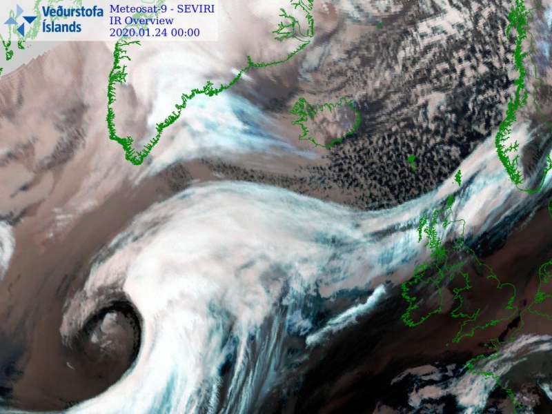
Here is a short update of the rapidly organizing system in the North Atlantic. As we discussed in the earlier today, a rather rapid intensification and development of an extra-tropical cyclone was expected tonight. The system is now revealing an impressive structure and continues deepening. Please refer to the mesoscale discussion for forecast details.
*********************************************
*********************************************
Some of the impressive satellite images this evening, various IR and WV channels:
Spectacular satellite animation of a textbook cyclogenesis over the North Atlantic this evening! Images: NOAA pic.twitter.com/MKkHi52Itv
— Marko Korosec (@MarkoKorosecNet) January 24, 2020
The system will organize into a very large cyclone, dominating much of the North Atlantic this weekend. Refer to the primary forecast discussion:


