Models are still on track for a significant windstorm over Ireland and the United Kingdom on Friday and Saturday.
GFS model guidance for mean sea level pressure and peak wind gusts late Friday/early Saturday. Map: TropicalTidbits.com.
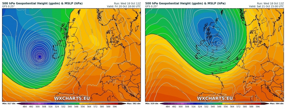
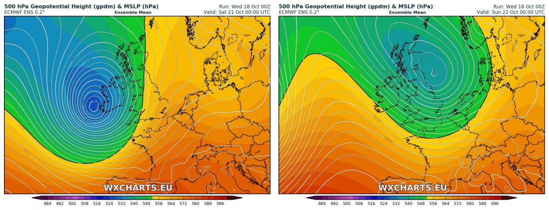
Both GFS and ECMWF are still in good agreement for the arrival of a deep cyclone towards Ireland and UK. While the exact track and intensity is still fairly uncertain so far ahead, both models indicate a deep cyclone with central mean sea level pressure down to 960 – 975 mbar.
Current GFS model guidance indicates a very deep cyclone with central pressure approaching 960 mbar or even below that mark, and peak wind gusts of 120-130 km/h around landfall. Map: Wxcharts.eu.
Current ECMWF model guidance indicates a deep cyclone with central pressure approaching 970 mbar. Map: Wxcharts.eu.
At this time most models suggest top wind gusts in the 120-130 km/h range, more on higher ground and exposed locations. The strongest winds are likely across southern and western Ireland and Wales, with somewhat less strong winds across most of southwestern and eastern UK. Depending on the track the system may affect the coast Belgium, Netherlands and northwestern Germany as well.
GFS model guidance for peak wind gusts as the system develops. Maps: Wxcharts.eu.
ARPEGE model guidance for peak wind gusts as the system develops. Maps: Wxcharts.eu.
Also expect locally significant rainfall, up to 50-80 mm by mid-Saturday.
Rainfall totals through mid-Saturday. ARPEGE model guidance. Maps: Wxcharts.eu.
Stay tuned for further updates!


