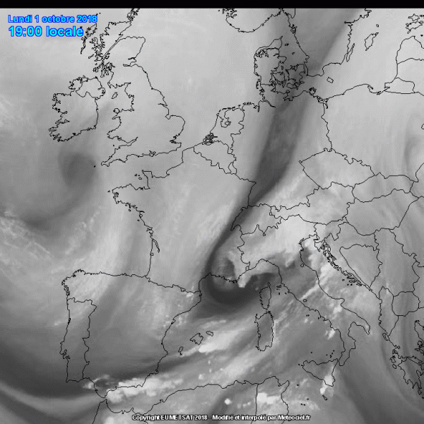
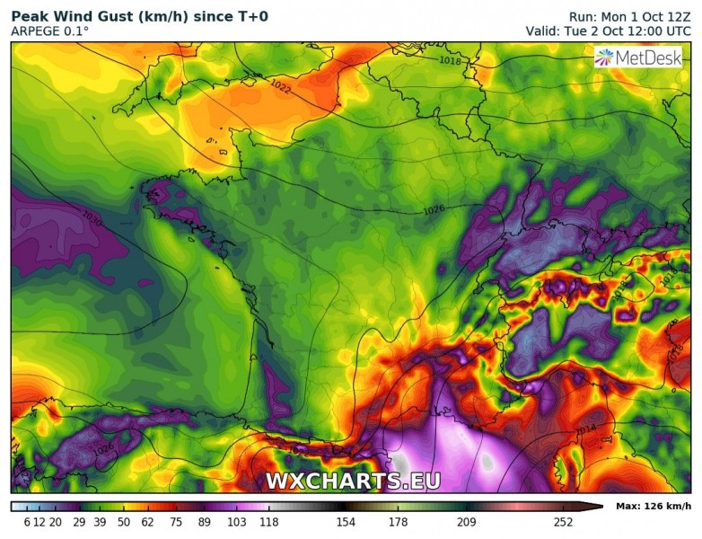
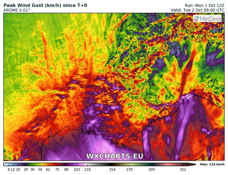
The current pattern is supporting a deep trough being pushed across the central Europe. As a result, a surface cyclone is deepening in the northern Mediterranean and tightening pressure gradient has developed in its wake across the NW Mediterranean and southern France. Intense downslope winds have already been reported, expected to last until tomorrow afternoon – Tuesday, Oct 2nd.
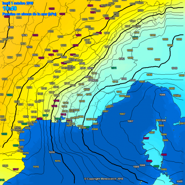
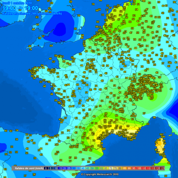
Early evening pressure and wind gusts analysis across southern France: steep pressure/temp gradient is resulting in wind gusts 80-100 km/h, locally even towards 150 km/h in some exposed spots.
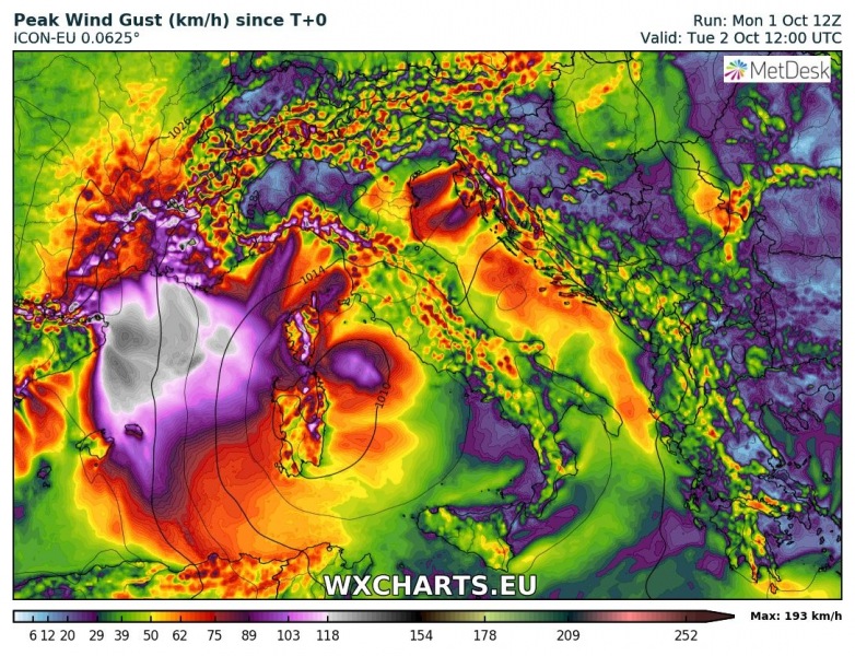
Additional severe winds are expected overnight as pressure gradient maintains while cyclone to only slowly moves south. Various models (AROME, ARPEGE, ICON-EU) suggest peak gust could reach 120-150 km/h locally, especially higher elevations and more exposed locations.
