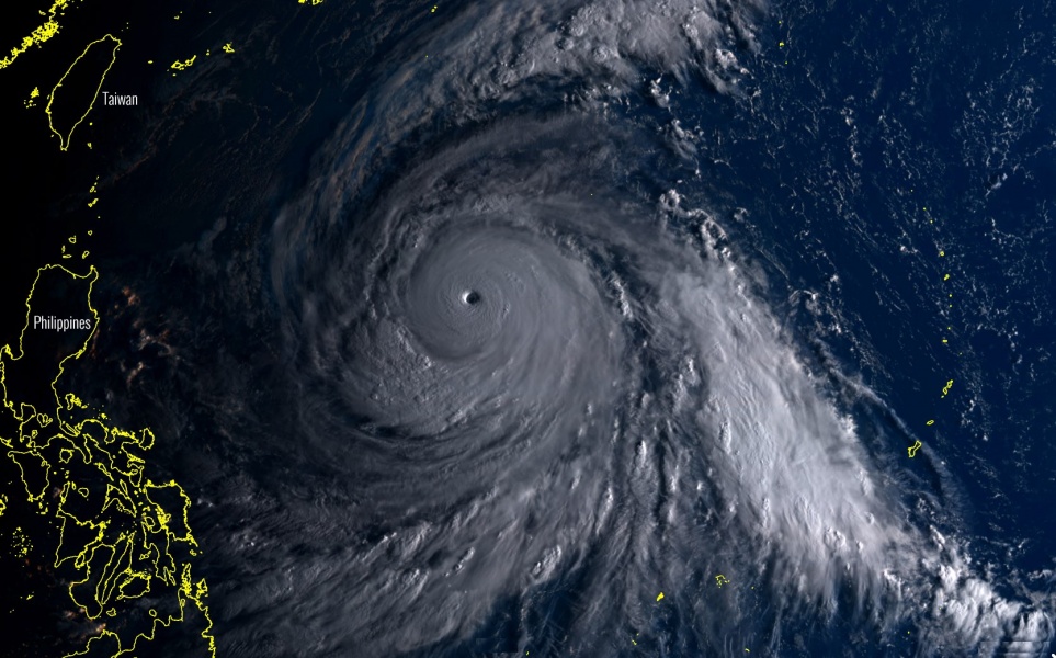
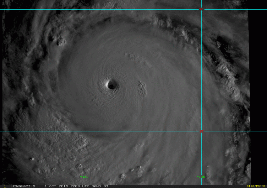
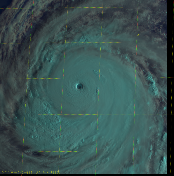
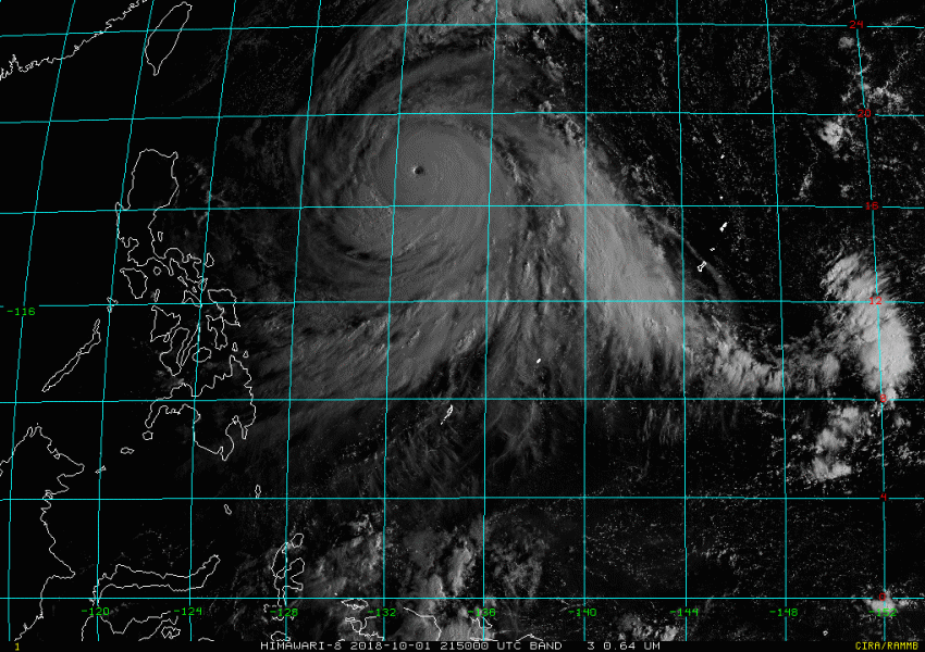
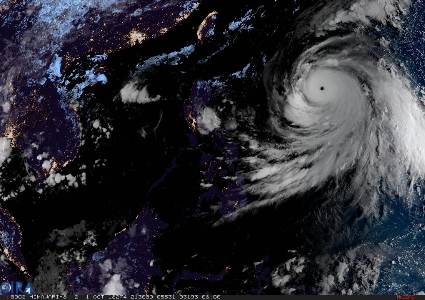
Super Typhoon Kong-Rey continues with an incredible satellite presentation lately, it is maintaining an intense eyewall and quite a large eye. Its future track has not changed much, it is heading towards Japan islands this weekend. Here are the latest updates: while the latest official update still has it as a strong CAT 4 typhoon, past hours of Advanced Dvorak Technique analysis suggests Kong-Rey is already a monster CAT 5 typhoon.
First daylight over the monster typhoon today, local morning over the western Pacific ocean – notice the incredible symmetrical structure with a well-defined stadium effect of the eyewall and clearing eye!
Monster CAT 5 super typhoon #KongRey visible satellite animation tonight now. WOW! Details: https://t.co/vlgdOh2JqC pic.twitter.com/5qb0qkxU7t
— severe-weather.EU (@severeweatherEU) October 1, 2018
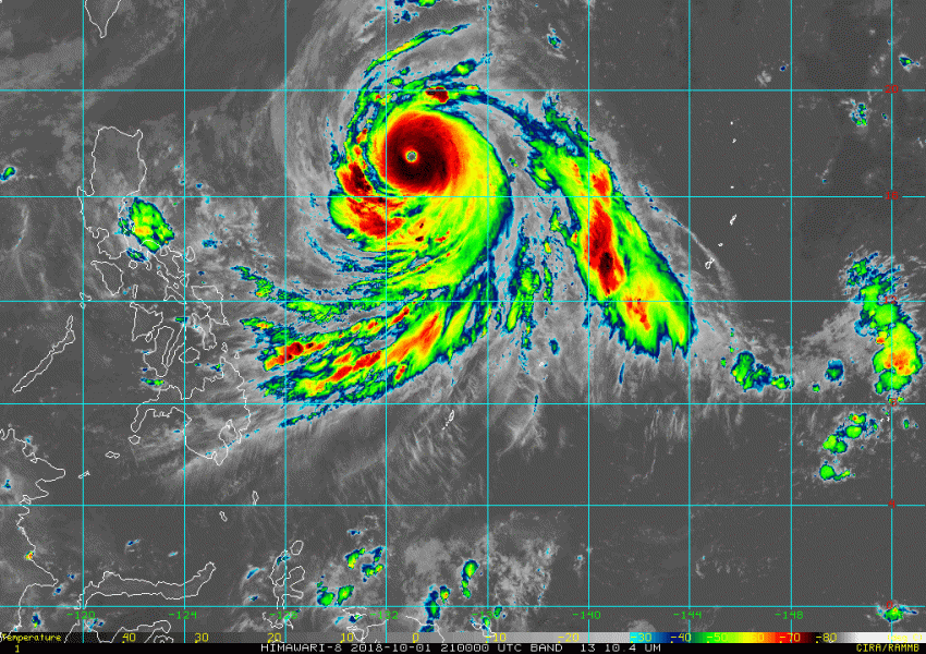
Some additional pretty impressive satellite imagery in visible and infrared spectrum:
Spectacular IR satellite of an intense Super Typhoon #KongRey in western Pacific, just an hour before daylight arrives. Animation by @NOAASatellites pic.twitter.com/viLJHPyi5m
— severe-weather.EU (@severeweatherEU) October 1, 2018
Advanced Dvorak Technique analysis suggests the ADT number is 7.1, which puts the typhoon into 149.0 kt max sustained winds and central pressure of 908 mbar. This is a 170 mph or a very strong CAT 5 typhoon (threshold for a CAT 5 storm is 155 mph). So we can see Kong-Rey continues strengthening.
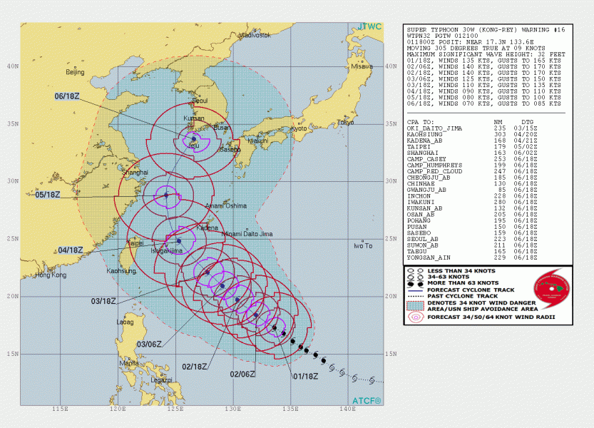
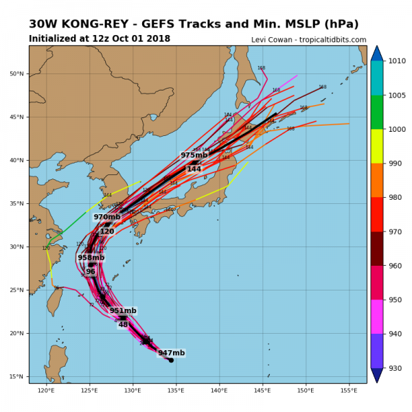
Kong-Rey’s future track based on the latest guidance by JTWC and various models – potential exists for landfall in SW Japan or even South Korea on Saturday.
HWRF model guidance for the future track of Super typhoon #KongRey moving from the western Pacific acrosc Japan islands towards South Korea. Source @TropicalTidbits pic.twitter.com/OBzmeZP2KG
— severe-weather.EU (@severeweatherEU) October 1, 2018
Stay tuned for further updates!
