Here is a quick update on the maturing stage of a very large North Pacific cyclone, now entering the Aleutian Islands and growing in size. The wind field is powerful and extending across the broad area. Its future behavior is on track with the primary forecasts, it will be maintaining its strength for another 24-36 hours while only slowly moving across the Aleutian Islands.
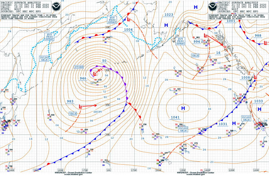
Below is the refreshed 18 UTC surface analysis update – cyclone now has the minimum central pressure of 946 mbar, a change of 2 mbar since 12 UTC. This means it has reached its mature stage, the rapid intensification is completed. As we can see from the observational data below, the pressure drop during the past 24 hours has been 32 mbar, while it was 39 mbar through the earlier intervals.
- 1005 mbar at 00 UTC, Jan 31st
- 994 mbar at 06 UTC, Jan 31st
- 987 mbar at 12 UTC, Jan 31st
- 978 mbar at 18 UTC, Jan 31st
- 967 mbar at 00 UTC, Feb 1st
- 955 mbar at 06 UTC, Feb 1st
- 948 mbar at 12 UTC, Feb 1st
- 946 mbar at 18 UTC, Feb 1st
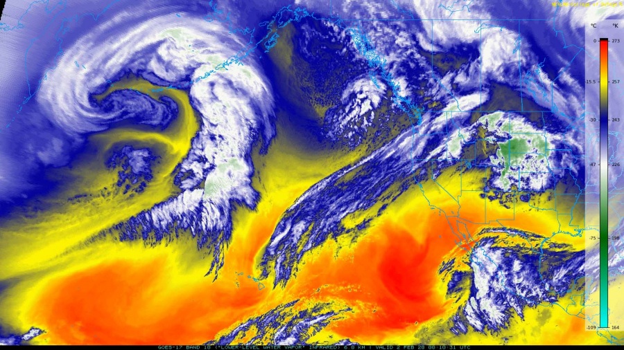
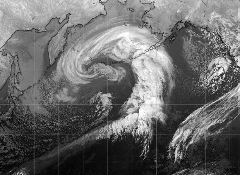
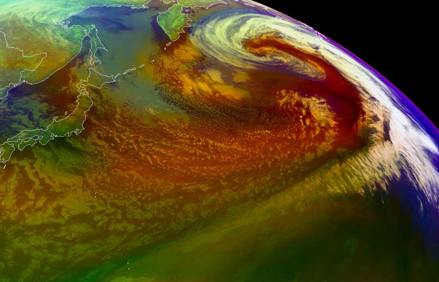
As we expected, cyclone is producing a spectacular presentation on the satellite images – a very large core can be seen. It is a very large system already and is still growing. Right now, its dead center is just shy south of the Aleutian Islands.
Cyclone is expected to maintain similar strength until Monday while only slowly drifting north-northeast this weekend, but its size and its wind field will be expanding.
Please refer to the primary discussion for the forecast details:


