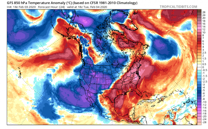
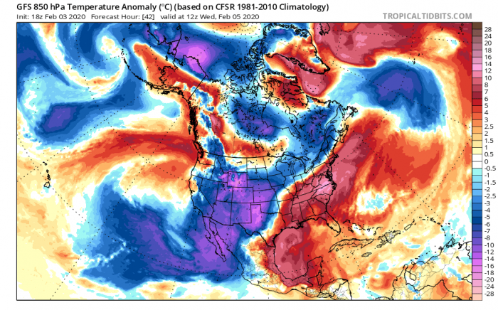
As we discussed yesterday, an intense Arctic cold outbreak will spread across the western half of the US through the early days of this week. A very powerful trough is moving in from the North Pacific will bring extreme temperature change of more than 25 °C / ~ 50 °F lower temperatures than only 24 hours before. Below are the live updates.
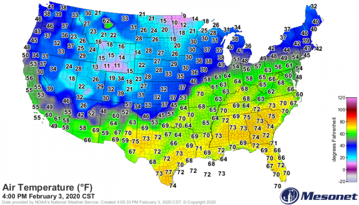
The temperature map across the CONUS – we can see a sharp cold front is extending from the Great Lakes region across the central Plains into the Southwest US:
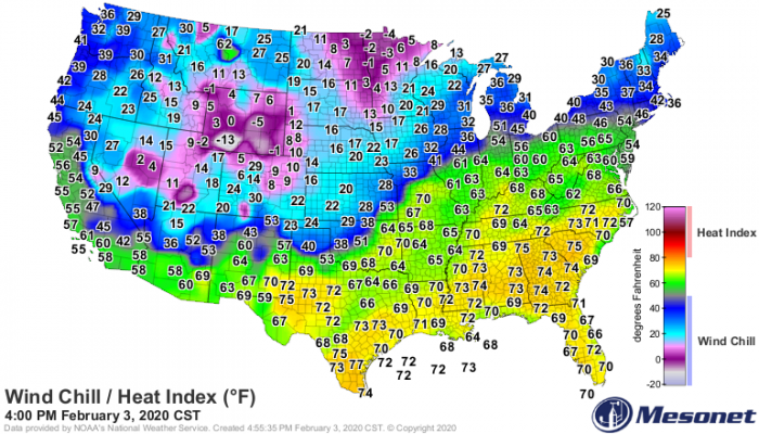
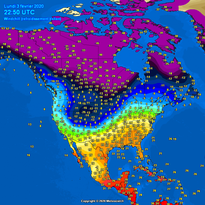
The windchill map (a combination of temperature and winds) reveal the real feel of the temperature is already pretty extreme into negative values °F across Wyoming, eastern North Dakota and northern Minnesota. In °C that means 15-20 °C below zero!
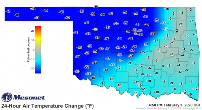
Close-up view over the temperature change across the state of Oklahoma in the past 24 hours – sharp drop of temperature in central Oklahoma but extreme (more than 40 °F / 24 hrs) temperature change across the Panhandles:
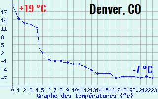
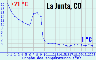
It is impressive to see the station observation, here is a great example for eastern Colorado. After yesterday’s spring time values (above +20 °C / 68 °F) temperature dropped below freezing. A change of 26 °C (that’s a drop of 47F from 66F to 19F) occurred in Denver while a change of 22 °C (that’s a drop of 40F from 70F to 30F) was recorded in La Junta!
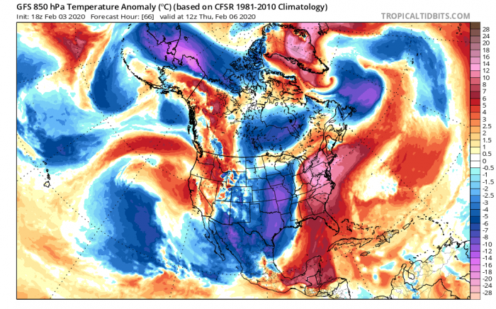
The model guidance remain on track with the previous thinking – the Arctic airmass will continue moving across the south and southwest US until Thursday when it also spreads futher east across the CONUS:
See also the previous two mesoscale forecast discussions:
