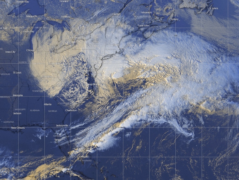
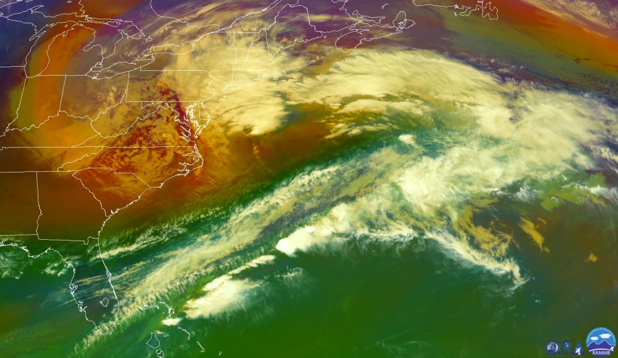
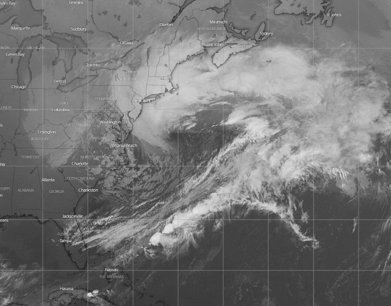
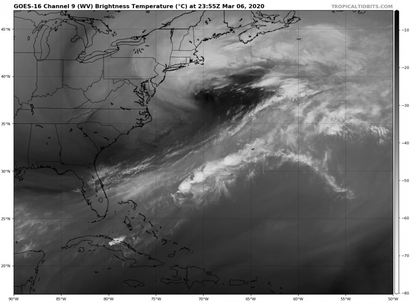
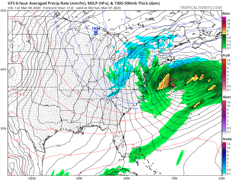
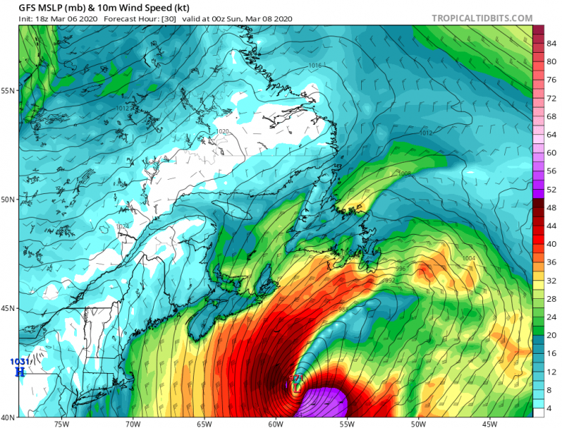
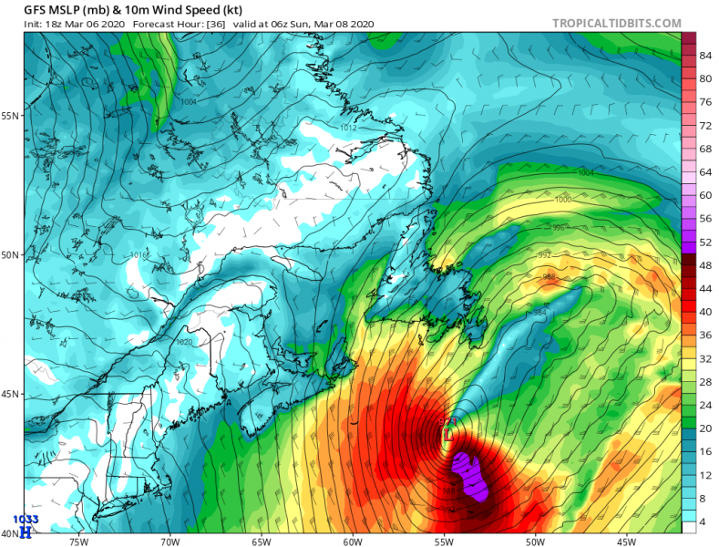
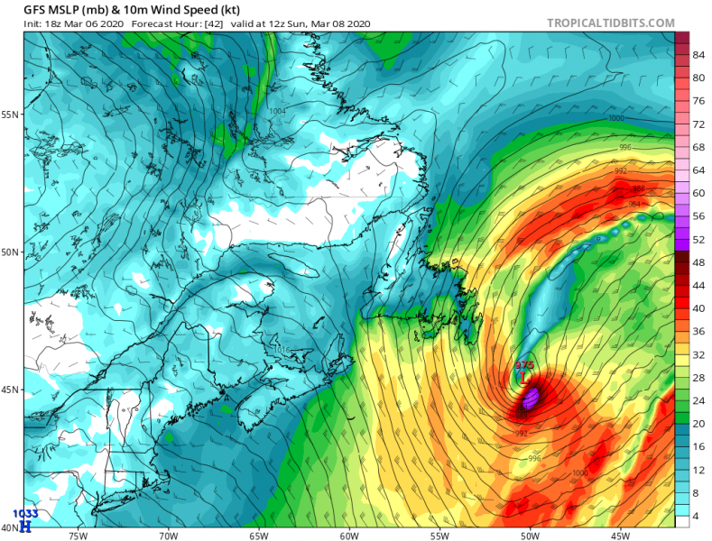
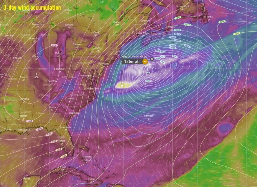
A rapidly intensifying low-pressure system is developing along the US East Coast tonight with an explosively deepening central pressure from mid 990s into mid 960s over the next 18 hours. The system will generate violent hurricane-force winds around the core and major waves. Fortunately, the majority of it will stay off the US coast. However, the system will pass with its center very near to the Newfoundland tomorrow night, likely producing an intense blizzard over the island. Violent winds and heavy snowfall are expected.
*********************************************
Colder weather spreads across western and southwestern Europe tomorrow through Saturday
*********************************************
At 18 UTC today, March 6th, the system had a central pressure of 994 mbar and is now in rapidly deepening phase. It is expected to deepen into mid 960s by tomorrow afternoon local time:
Some pretty impressive satellite presentation is visible this evening, an intense dry intrusion is wrapping into the deepening core:
The explosive development of low-pressure system along the US East Coast tonight. Source: @tropicaltidbits pic.twitter.com/ecuyiKQ16S
— severe-weather.EU (@severeweatherEU) March 7, 2020
System will be rapidly deepening overnight and through Saturday morning, reaching the central pressure around 965 mbar.
Close-up view of the system passing very close to the Newfoundland on Saturday afternoon (tomorrow) and overnight to Sunday. It will introduce an intense windstorm and blizzard over the island with whiteout conditions:
Saturday 18 UTC
Sunday 00 UTC
Sunday 06 UTC
Sunday 12 UTC
Sunday 18 UTC
Peak wind gusts swath over the next 72 hours – system will result in a very intense, hurricane-force wind field around its center, likely pushing gusts above 120 mph!
See also:
Colder weather spreads across western and southwestern Europe tomorrow through Saturday


