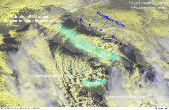
Strong Adriatic-effect snowfall is ongoing along the E half of the Apennine peninsula and on some Adriatic islands on December 30-31, 2014. The Adriatic-effect snowfall is analogous to the lake-effect snow well known from the US Great lakes. The mechanism is the same: as cold Bora/Bura winds advect cold air across the warm Adriatic sea, it picks up water vapor and is deposits is as snow on the leeward shore of the Apennine peninsula. Temperatures along the Adriatic islands and the E Italian coast today are in the -2 to 3 °C range, while the surface temperature of the central Adriatic is still around 14-16 °C, providing a very large temperature difference, highly favourable for Adriatic-effect snow.
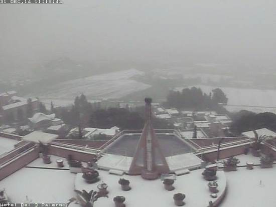
Additional lake-effect clouds are well visible in the satellite imagery over the Tyyrhenian sea. Snowfall is also being reported from the N coast of Sicily – see reports below. A very rare event of snowfall was also reported in Malta today! Very significant snowfall is also reported from northern parts of Algeria.
EUMETSAT satellite view of the Adriatic-effect clouds. Note the same phenomenon ongoing also across the Tyyrhenian sea. Image: EUMETSAT.
Today’s surface temperatures across the Adriatic sea. Image: Adriatic forecasting system.
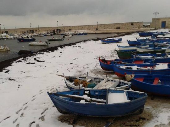
One of the beaches in Bari, Puglia, SE Italy this morning. Image: Mariella Quintavalle via Meteopuglia.
Peschici in Puglia, SE Italy covered in snow. Image: Parco Nazionale del Gargano via Meteopuglia.
Torre a Mare in Puglia, SE Italy today. Image: Gianni Laera via Meteopuglia.
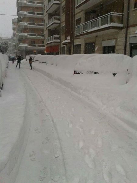
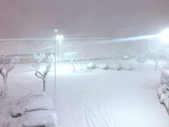
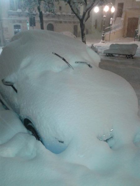
Martina Franca in Puglia, SE Italy in thick snow cover after intense Adriatic-effect snow today. Image: Lorenzo Lacarbonara via Meteopuglia.
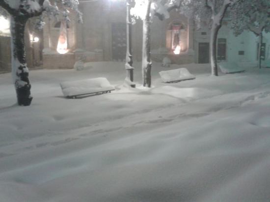
Locorotondo in Puglia, SE Italy in thick snow cover during intense Adriatic-effect last night. Image: Gianluigi D’Onofrio and Silvio Maggi via Meteopuglia.
Locorotondo in Puglia, SE Italy. Image: Meteonetwork Puglia e Basilicata ONLUS.
Monte sant’Angelo in Puglia, SE Italy in blizzard conditions during intense Adriatic-effect last night. Image: Paolo Pastore via Meteopuglia.
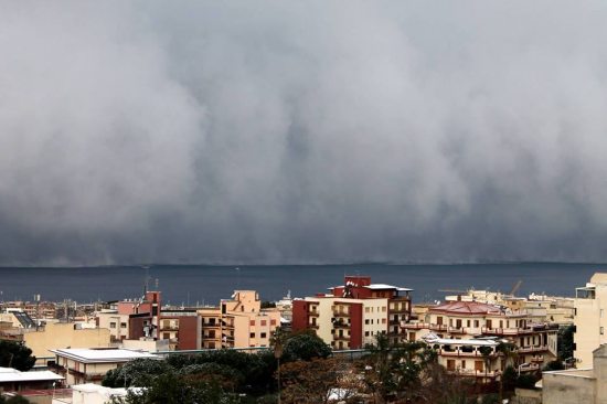
Adriatic-effect snow band as seen on the coast of E Italy. Photo: Antonio Iero MeteoWeb.eu.
Snow in Palermo, Sicily today!
