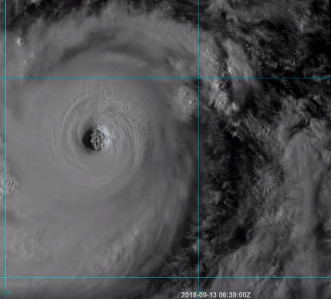
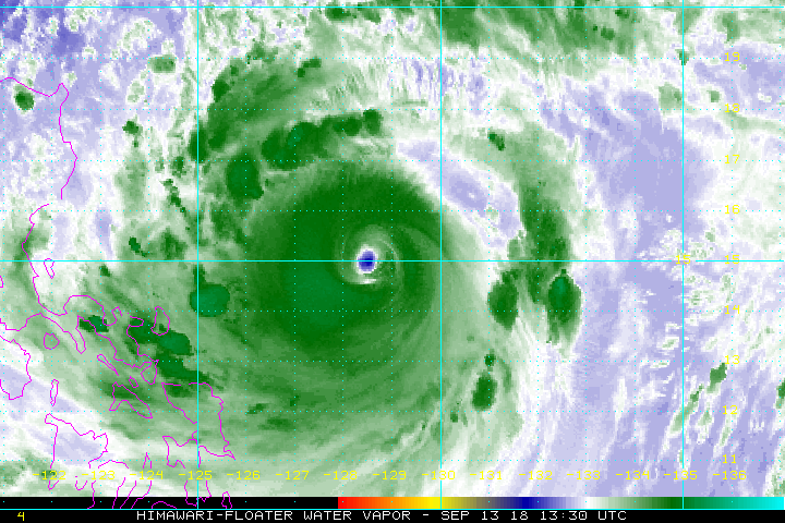
The powerful Category 5 super typhoon Mangkhut has been showing an impressive satellite presentation throughout the day today, with some visible fluctuations in its intensity. It remained at the maximum strength and only slightly lower winds were observed: it is now packing 165 mph (265 km/h) winds with gusts up to 200 mph (322 km/h). Estimated central pressure is 907 mbar.
While hurricanes are analyzed with satellites and also NOAA airplanes for data sampling, typhoons are monitored with satellites only. Mangkhut continues showing a very symmetric structure and is a very large system. The eyewall is closed and deep convection is ongoing. Basically there are no obvious signs Mangkhut is going to weaken significantly in the next 2 days prior to landfall in the northern Luzon. Mangkhut is actually coming over even warmer waters, into a very favourable environment, so some additional strengthening cannot be excluded within the next 24 hours.
Attached are various visible satellite spectrum images of Mangkhut today, including a close-up image revealing several mesovortices rotating inside the large eye.
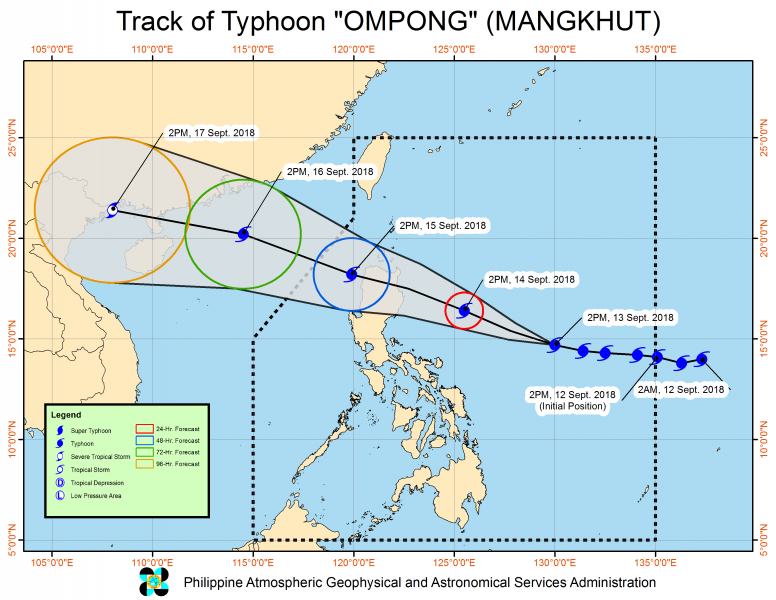
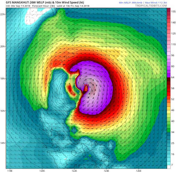
Mangkhut’s future track remains similar to our previous update. Its landfall is now expected slightly more to the south, but still in the northern tip of Luzon island as a Category 5 strength typhoon.
Stay tuned!


