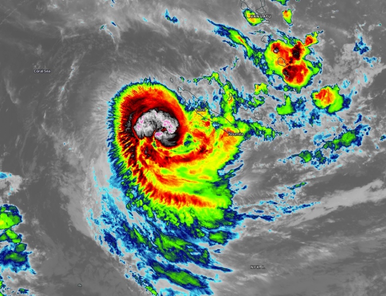
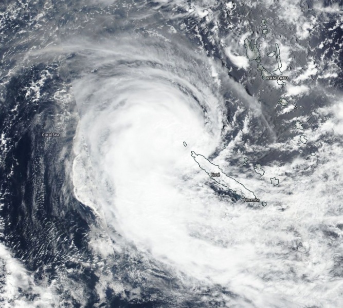
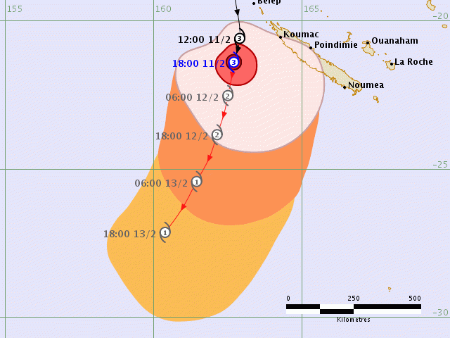
The Severe Tropical Cyclone #Uesi is now a Category 3 system and looks fairly impressive on the satellite scans, with textbook outflow upper-level ventilation. Is was passing just shy west of New Caledonia today, bringing strong to severe winds and torrential rainfall across the western part of the island. It is now, however, in the gradually weakening trend as it continues south. It will be maintaining a Category 2 strength for another day or two before it approaches southeast Australia (New South Wales coast) on Friday.
Infrared and latest visible satellite channels are revealing explosive deep convection across the compact cluster of storms around the center, the main activity with the most robust storms are west of New Caledonia. The system also has a small radius of hurricane-force 64-knot winds, extending 20 miles around the virtual center.
https://twitter.com/HurricaneiOS/status/1227320694402363394
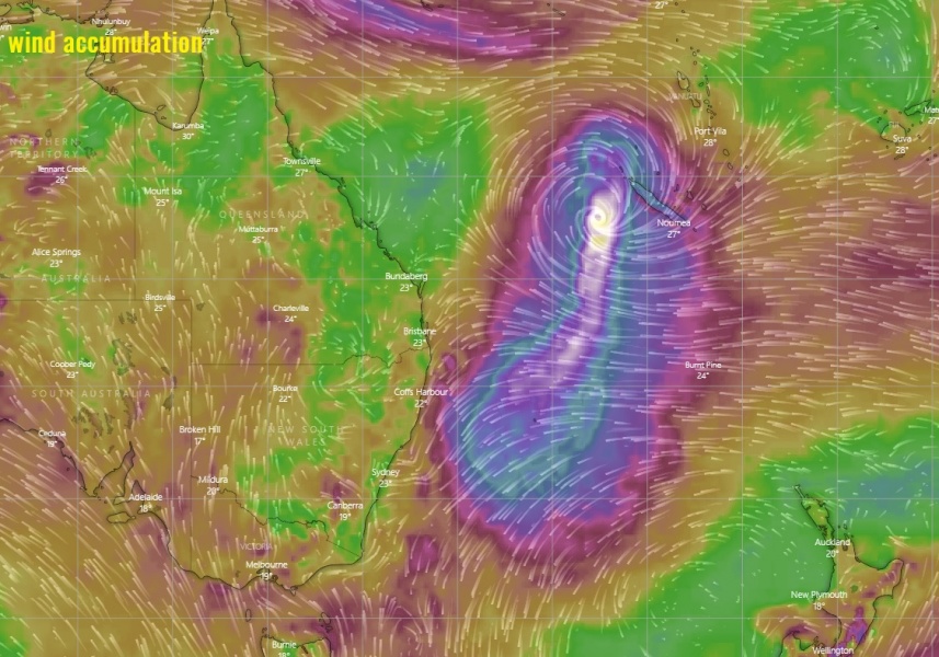
ECMWF wind accumulation map suggest Uesi will be maintaining strong Category 2 or 3 for another day or two, then gradual weakening trend begins as the system arrives into cooler waters and increasing shear environment. We can see the wind field is quite broad and could potentially reach the coastal areas of New South Wales towards the weekend.
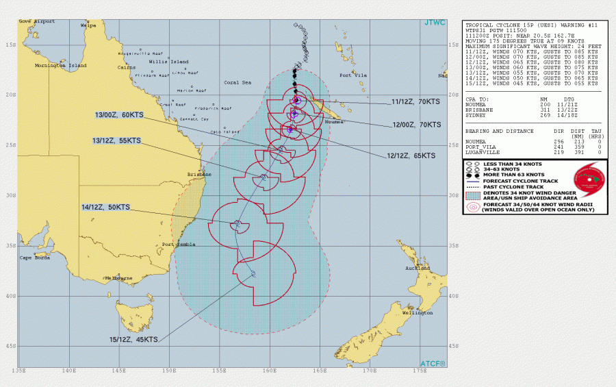
The future track will bring #Uesi further south, then southwest in the coming days, moving closer to the coast of New South Wales on Friday. Although the more probable track brings the system’s center east of the land, there are some changes for stronger winds effect also on the coastal areas. But Uesi will be weakening.
We are closely monitoring its evolution and will keep you updated – stay tuned!
See also the previous forecast discussions:

