A pretty impressive and rare tropical activity is currently ongoing int the West Indian Ocean. Five (5) tropical systems have developed or still developing and can be seen live on the satellites! The two northernmost systems (Tropical cyclones #06A and #07A) are already supporting tropical storm strength, while the southernmost systems (Invest #91S and #92S) are both tropical depressions. The easternmost system (Invest #92B) is still developing.
************************************
UPDATE – Extremely impressive rapid intensification is currently underway with Tropical Cyclone #AMBALI in the South Indian Ocean – from 30kt depression to 100kt+ monster in less than 24 hours! Potential to become a Category 4 tonight!
************************************
Here is today’s NASA MODIS AQUA satellite image of the West Indian Ocean – a pretty wild image of 5 tropical system simultaneously ongoing, making the Indian Ocean pretty busy from now on.
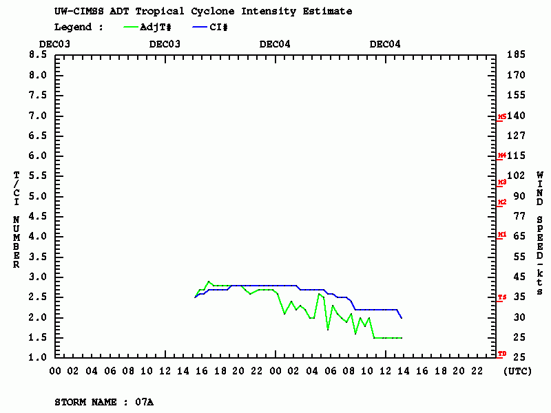
Tropical cyclone 07A
The system #1 is currently packing the highest maximum sustained winds, 35 knots with a central pressure around 1003 mbar. It is, however, expected to weaken soon as it heads northwest towards the Arabian Sea.
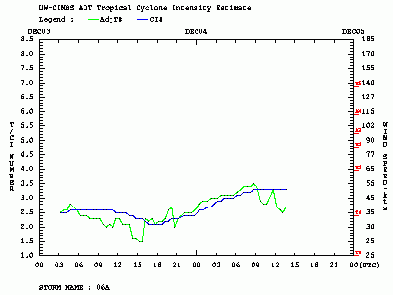
Tropical cyclone 06A
The system #2 is similar strength as Tropical Storm 07A and is expected to gradually weaken as well, but is heading west towards the coast of Somalia where its potential landfall would be a quite rare event!
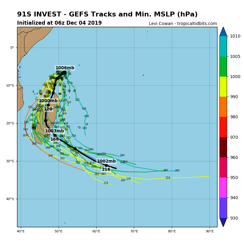
Invest 91S
The system #3 is looking quite healthy on satellites and should continue gradually strengthening while moving slowly south, packing winds of 30 knots and central pressure around 1001 mbar. It has the potential to impact Madagascar at the end of this week.
Invest 92S
The system #4 is also quite well-organized, packing maximum sustained winds of 30 knots and central pressure around 1004 mbar. It is expected to intensify into a tropical storm by tomorrow and then move south as well. The system should remain over open waters and will not threaten any land areas.
Invest 92B
The 5th system is located south of Sri Lanka and is still developing. While it is struggling to organize for now, it packs only 15 knots winds and 1010 mbar central pressure, models are trending it could possibly also become a tropical storm in the Arabian Sea as it heads west-northwest later this week.
Stay tuned for further updates once the system organizes in the coming days!
Interested in our calendar? We are proud to present and promote the best weather photographers in Europe – see details:


