We have had a short forecast discussion on a tropical wave near Madagascar earlier this week. The wave has been maintaining lately, resulting in lots of rain in the northern part of the island. Now, the models are hinting it will finally eject Madagascar and head southeast towards Mauritius and La Reunion with an increasing potential for extreme amount of rainfall and dangerous flooding later this week!
*********************************************
*********************************************
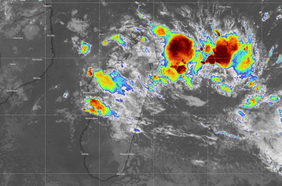
Deep convection storms have been maintaining across northern Madagascar through the past days, with occasional bursts of storms. #91S should be slowly shaping up and organizing into a tropical depression early this week. Huge amounts of rain are spread into northeast Madagascar.
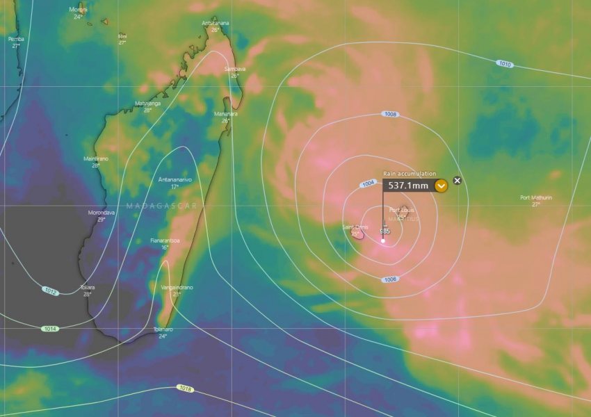
Both global models GFS and ECMWF are trending the Invest #91S will be finally ejecting off northeast Madagascar and drift southeast this week, passing very near Mauritius on Friday or Saturday. Both models are also in agreement the system should become a Tropical Storm by mid this week.
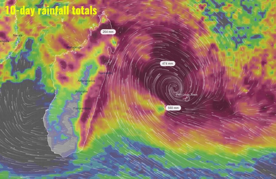
The main concern with the #91S system is the rainfall and flooding. Models are in a very good agreement and hinting an extreme amount of rainfall over the next 10 days from northern Madagascar along the swath towards southeast across Mauritius and La Reunion. If the system passes between the islands like it is simulated today, that could result in more than 500 mm of rainfall with the storms around the cyclone. An excessive amount of rain is quite likely also over both islands.
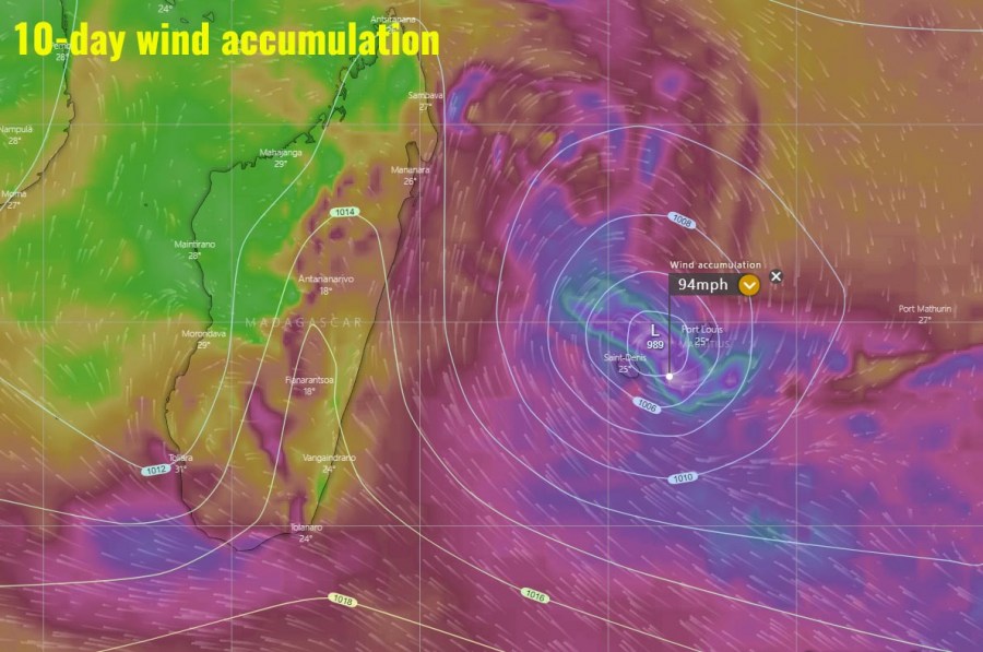
The peak winds with this system do not seem particularly intense, but severe winds could still develop while the system will be passing near Mauritius over the weekend. Models are hinting sustained winds of around 55 mph – that is a Tropical Storm strength.
See the previous forecasts:


