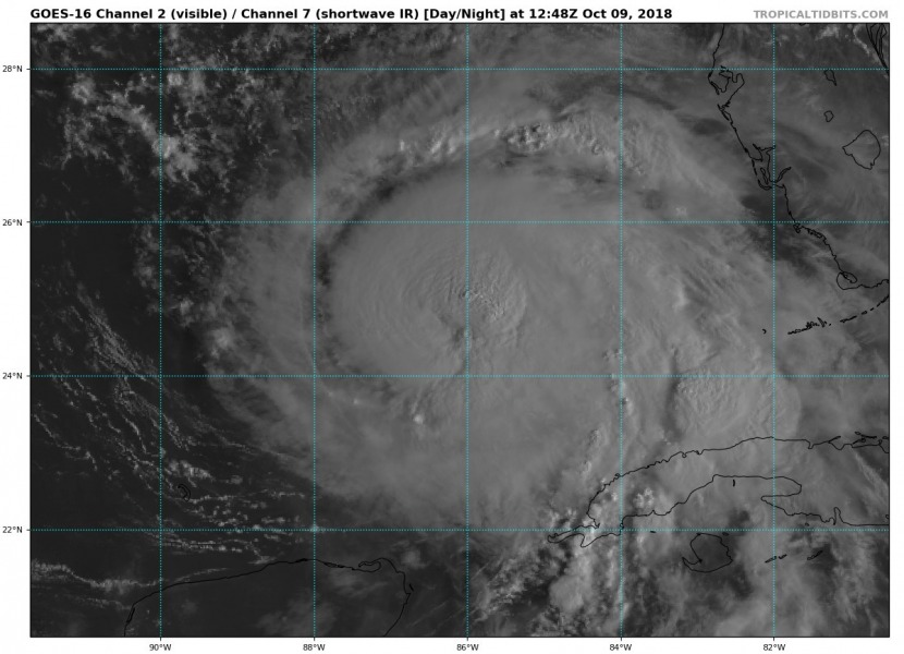
A Category 2 hurricane Michael continues strengthening today with a good upper level outflow ventilation in all directions now and explosive deep convective bands around the forming eye. A complete eyewall will likely establish within the next hours and Michael will gain additional strength into a major Category 3 hurricane as lower shear and very warm sea waters are ahead of the system.
Hurricane is showing some impressive satellite presentation today (local morning) as seen by WV, IR and VIS channels. A very intense eyewall is developing around the eye which is still closed, but expected to clear with time later today.
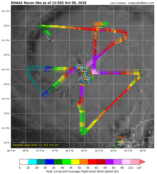
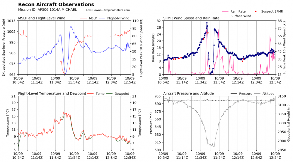
Here is the latest NOAA Hurricane Hunters aircraft observation, revealing the central pressure of around 970 mbar and near 110 mph flight level winds – this confirms a solid Category 2 stength at this time.
Model intensity guidance suggest Michael will remain a Category 3 hurricane until landfall, some chances still exists it would eventually intensify into a low-end Category 4 hurricane if the eyewall replacement cycle (ERC) finishes enough time prior to landfall, so large eye and intense eyewall could establish. After a completed ERC, Michael would likely expand its size and strengthen the overall wind field. This could then bring wider area effected with both severe winds and flooding.
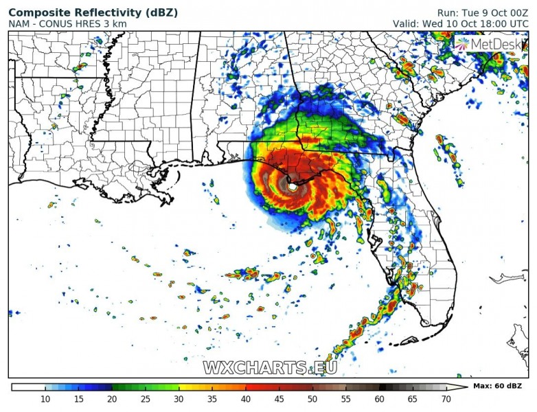
Landfall is expected to be in the Florida Panhandle tomorrow, Oct 10th at around 18 UTC (midday local time). Michael will likely be a major Category 3 hurricane at that time.
Total rainfall accumulation and peak wind gusts swaths along Michael’s path indicate extreme flooding potential and storm surge / wind damage threat for parts of Florida Panhandle, some areas could receive 500 mm or more of rainfall by Thursday morning. Peak gusts above 270 km/h suggest strong Category 3 strength will likely establish within the next 12-24 hours.
Michael is expected to be a major hurricane through the next 24-30 hours when it makes landfall in Florida Panhandle by Wednesday midday local time. Devastating storm surge, wind damage and flooding will be the primary threats.
Stay tuned for further updates!


