After reaching CAT5 strength, hurricane Lorenzo has weakened slightly to a powerful CAT4.
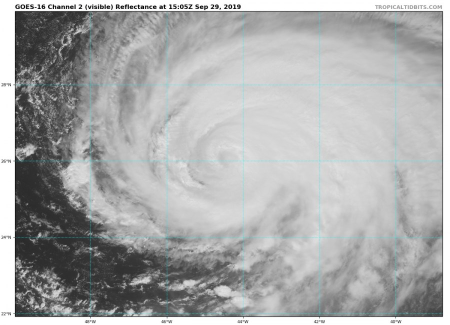
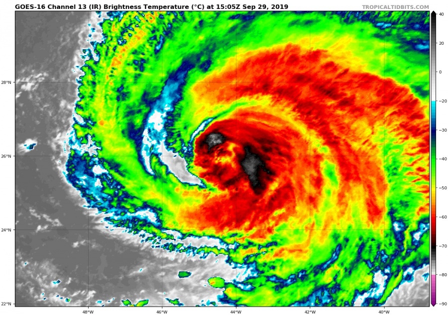
As of mid-afternoon (UTC) on September 29th, hurricane Lorenzo is a powerful, major CAT4 hurricane with peak sustained winds of 145 mph (233 km/h). Lorenzo had briefly attained CAT5 strength early on Sunday (Sept 29th) with 160 mph (257 km/h) sustained winds, before crossing the threshold to CAT4 again by mid-morning.
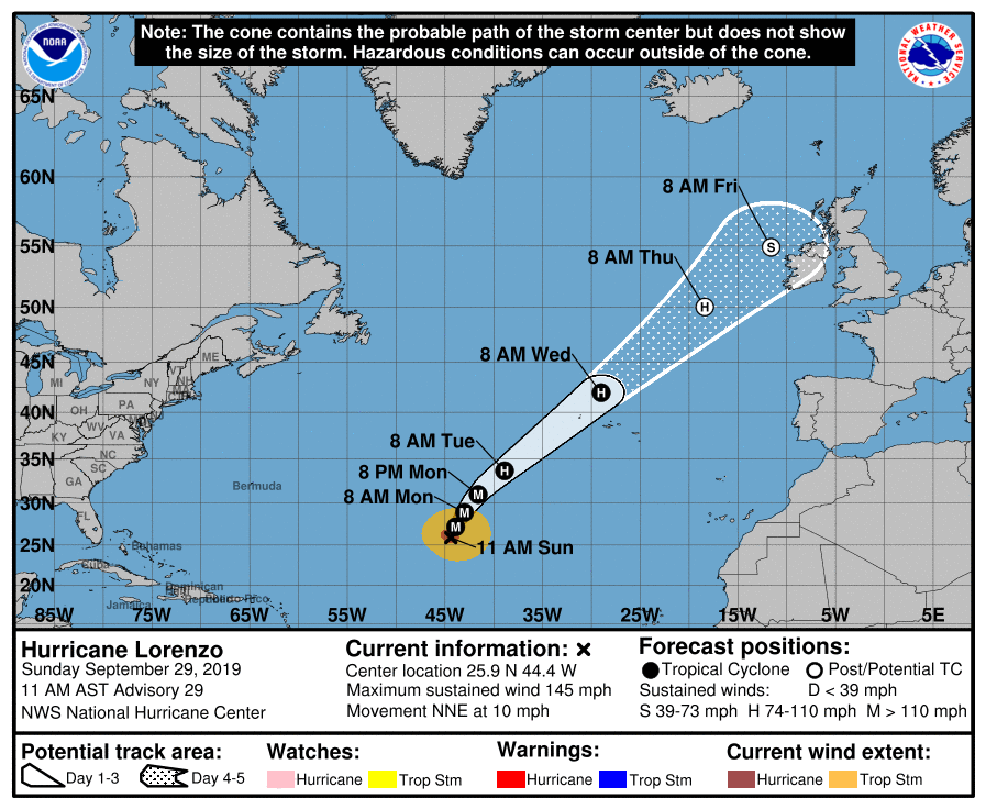
Lorenzo will now begin heading northeast towards the Azores. It will likely remain CAT3 to CAT4 for the next 36-48 hours, and CAT1 to CAT2 when they make the closest approach to the Azores late on Tuesday and early on Wednesday.
VIS view of Lorenzo early this afternoon, September 29th, 15:05 UTC. Image: GOES-16 / Tropical Tidbits.
The future track may take the by then post-tropical storm Lorenzo towards the British Isles and Ireland. More on this in a future update.
IR view of Lorenzo early this afternoon, September 29th, 15:05 UTC. Image: GOES-16 / Tropical Tidbits.
Forecast future track of hurricane Lorenzo. Image: National Hurricane Center.


