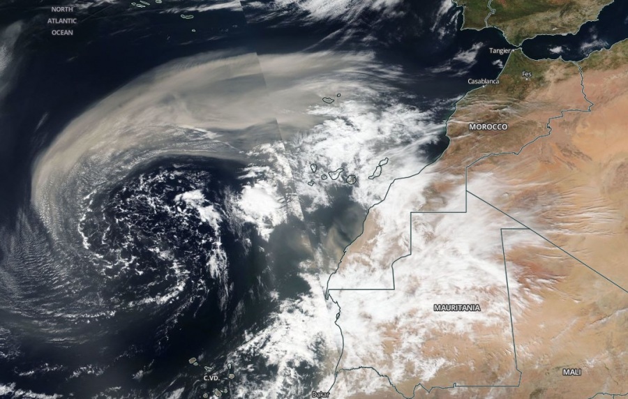
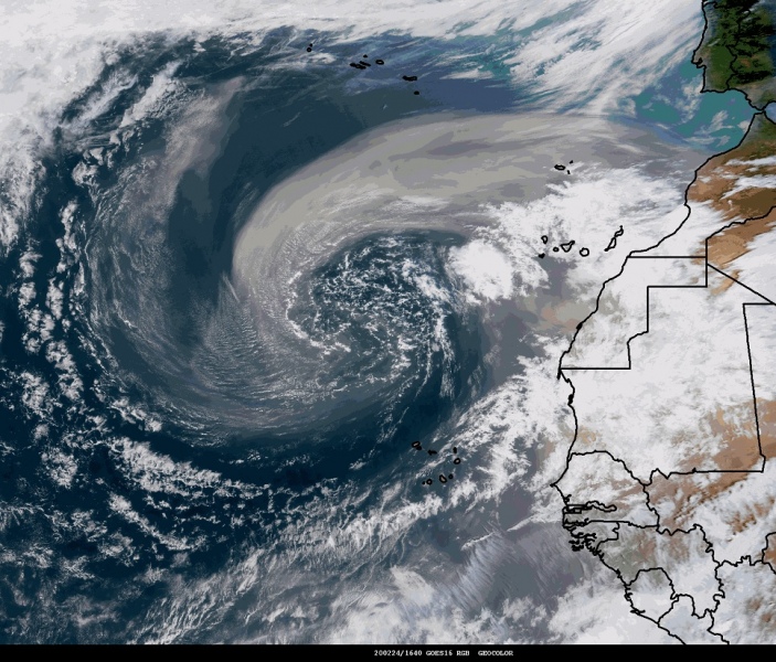
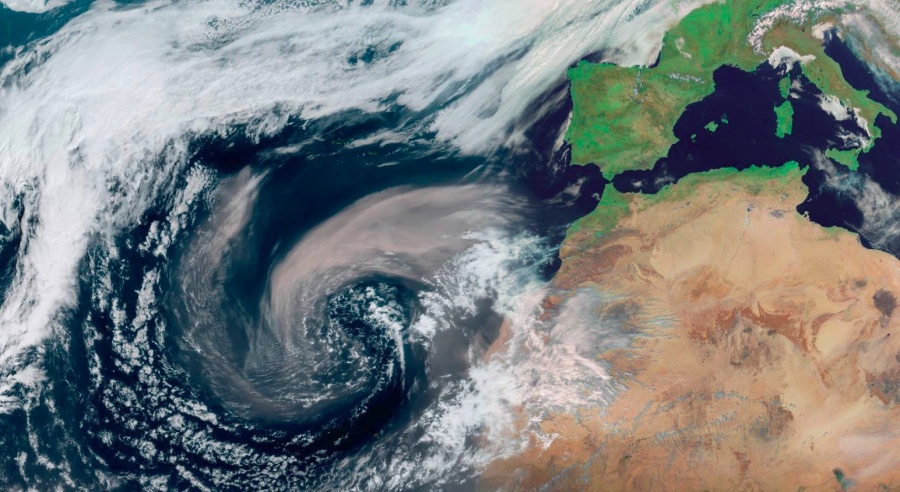
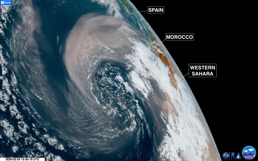
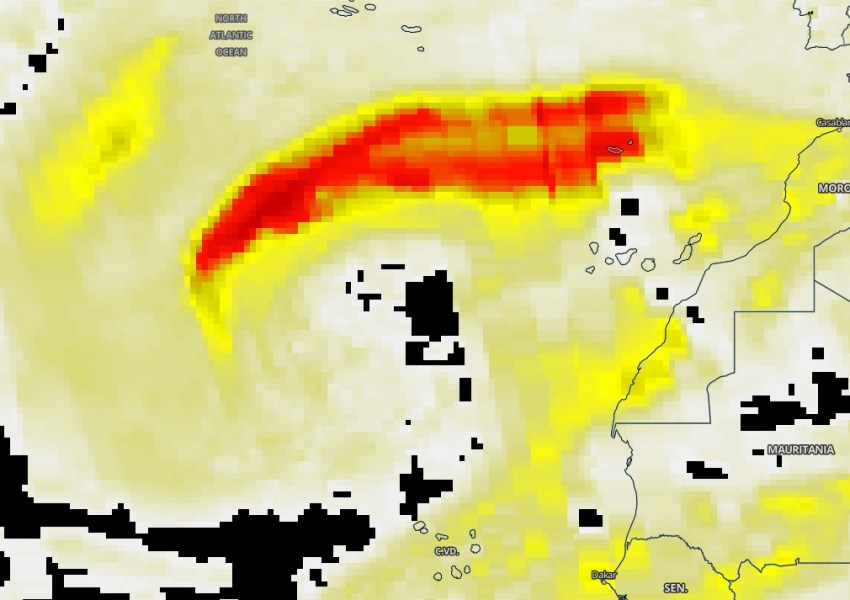
Here is the new update of the still ongoing historical sand storm #Calima from the Morrocan desert onto the Canary islands and further west. Satellite imagery yesterday revealed a spectacular presentation of the sand curving in bands around the low-pressure system over the region. The event is now gradually weakening but the sand is likely to spread into southwest Europe through the next weekend!
Satellite imagery from Feb 24th – nicely visible layers of sand ingested into the cyclonic bands around the upper (and surface) low. Images also include GOES-East geocolor satellite view of a low-pressure system southwest of the #CapeVerde Islands, off the coast of Northwest #Africa.
Here is another great satellite view of the aerosol detection, a very thick layer of sand was seen yesterday! Attached is also the animation of the severe #Calima dust storm ongoing over the Canary Islands and towards the Iberian peninsula this week (by the NASA GEOS 5 animation):
Here are the graphics representing the historical sand storm with PM10 particles in Santa Cruz de Tenerife. Notice the three consecutive days of sand blasts shooting into more than 3500 μg/m^3 on Feb 24th:
Así se vio este evento de polvo (histórico), en nuestros registros de PM10 en Santa Cruz de Tenerife @AEMET_Izana. Tres intrusiones de polvo muy intensas en tres días consecutivos (22, 23 y 24 de febrero de 2020). @AEMET_Esp @BSC_CNS. Excelentes predicciones de @Dust_Barcelona pic.twitter.com/G6N0gVUbpb
— AEMET_Izaña (@AEMET_Izana) February 25, 2020
Additional reports of the incredible scene:
https://twitter.com/lindforsniilola/status/1232065868655407104
The biggest #Calima in years – Puerto de la Cruz, Tenerife yesterday, Feb 23rd. Thanks to Ineke Meijer for the report – posted with permission. pic.twitter.com/0qdLaE2q2b
— severe-weather.EU (@severeweatherEU) February 24, 2020
Wildfires are finally under control now!
#IFTasarte imágenes nocturnas, el fuego se salta la pista pic.twitter.com/rzvZ1KKxKO
— Cabildo Gran Canaria (@GranCanariaCab) February 24, 2020
#IFTasarte 85 efectivos del #BIEM2 se han desplegado desde Morón (Sevilla) hasta Gran Canaria en un T-10 del @EjercitoAire para sumarse al dispositivo de extinción del incendio forestal que en total contará con el apoyo de 176 militares. pic.twitter.com/hS0bk6bTlh
— UME (@UMEgob) February 24, 2020
See the previous post:
