SYNOPSIS
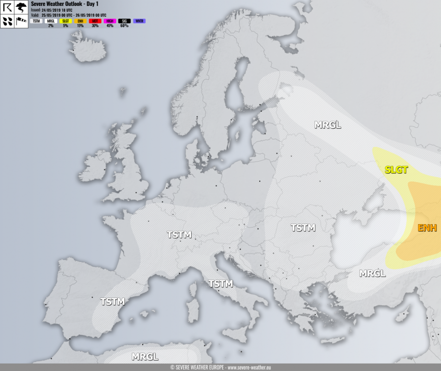
A broad upper low / trough with embedded cores dominated south-central Europe and N Europe. Ridge establishes over W Europe. One wave moves across Algeria, one over S Scandinavia and another one over Black Sea region and Turkey.
DISCUSSION
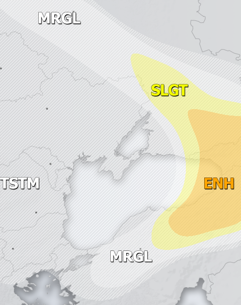
ENH / SLGT risks have been issued for E Turkey across Georgia into SW Russia with threat for severe storms, capable of producing severe winds, large to very large hail, torrential rainfall and tornadoes. A rather widespread convective activity is expected with scattered supercells which could produce very large hail.
MRGL risk has been issued for areas surrounding the ENH / SLGT risk across Turkey, E Ukraine and WSW Russia with more isolated threat for severe storms, capable of producing severe winds, large hail and torrential rainfall.
MRGL risk has been issued for N Algeria and N Tunisia with threat for isolated severe storms, capable of producing severe winds, torrential rainfall and large hail.
TSTM risk areas have been placed where convective storms are likely to occur but should remain sub-severe.

